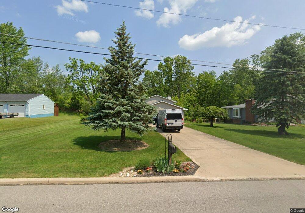
199 Habant Dr Amherst, OH 44001
Estimated Value: $263,264 - $292,000
3
Beds
2
Baths
1,692
Sq Ft
$162/Sq Ft
Est. Value
About This Home
This home is located at 199 Habant Dr, Amherst, OH 44001 and is currently estimated at $273,566, approximately $161 per square foot. 199 Habant Dr is a home located in Lorain County with nearby schools including Powers Elementary School, Walter G. Nord Middle School, and Amherst Junior High School.
Create a Home Valuation Report for This Property
The Home Valuation Report is an in-depth analysis detailing your home's value as well as a comparison with similar homes in the area
Home Values in the Area
Average Home Value in this Area
Tax History Compared to Growth
Tax History
| Year | Tax Paid | Tax Assessment Tax Assessment Total Assessment is a certain percentage of the fair market value that is determined by local assessors to be the total taxable value of land and additions on the property. | Land | Improvement |
|---|---|---|---|---|
| 2024 | $2,676 | $76,080 | $18,620 | $57,460 |
| 2023 | $2,425 | $59,784 | $13,937 | $45,847 |
| 2022 | $2,344 | $59,784 | $13,937 | $45,847 |
| 2021 | $2,350 | $59,784 | $13,937 | $45,847 |
| 2020 | $2,245 | $52,030 | $12,130 | $39,900 |
| 2019 | $2,200 | $52,030 | $12,130 | $39,900 |
| 2018 | $2,212 | $52,030 | $12,130 | $39,900 |
| 2017 | $2,205 | $49,250 | $10,680 | $38,570 |
| 2016 | $2,223 | $49,250 | $10,680 | $38,570 |
| 2015 | $2,210 | $49,250 | $10,680 | $38,570 |
| 2014 | $2,044 | $46,030 | $9,980 | $36,050 |
| 2013 | $2,051 | $46,030 | $9,980 | $36,050 |
Source: Public Records
Map
Nearby Homes
- 110 Habant Dr
- 1250 N Main St
- 3489 Coopers Trail
- 0 Cooper Foster Park Rd Unit 5129838
- 1011 N Main St
- 4510 Weathervane Dr
- 0 Rosecliff Dr
- 357 Pebble Creek Ct
- 4680 Boulder Ln
- 117 Fall Lake Ln
- 369 Pebble Creek Ct
- 3794 Freedom Place
- 922 Sharondale Dr
- 3788 Freedom Place
- 3784 Freedom Place
- 3774 Freedom Place Unit A
- 3772 Freedom Place Unit B
- 3770 Freedom Place Unit C
- 4020 Rossi Way
- 4872 Leavitt Rd
