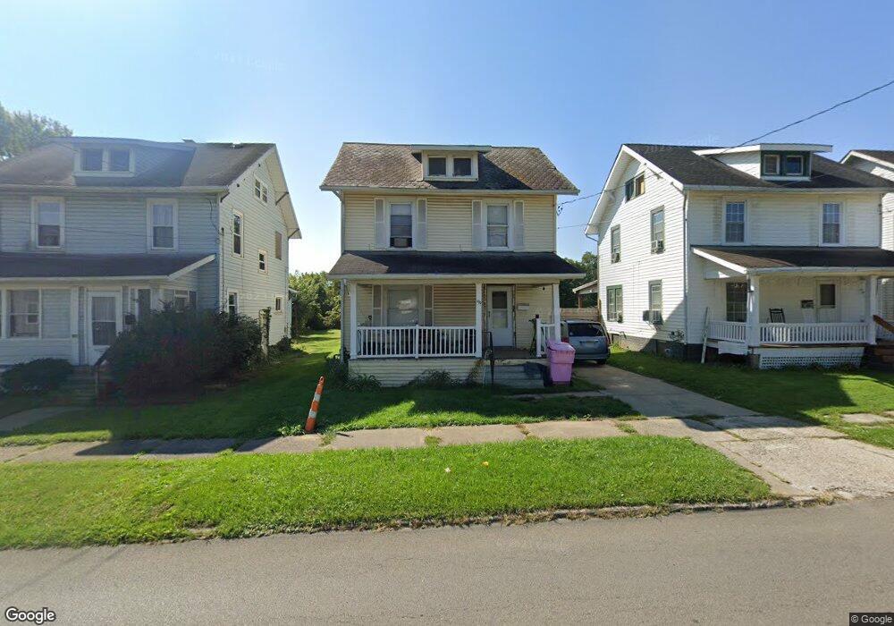
199 Harker St Mansfield, OH 44903
Estimated Value: $71,296 - $108,000
3
Beds
1
Bath
1,248
Sq Ft
$68/Sq Ft
Est. Value
About This Home
This home is located at 199 Harker St, Mansfield, OH 44903 and is currently estimated at $85,074, approximately $68 per square foot. 199 Harker St is a home located in Richland County with nearby schools including Goal Digital Academy, St. Peter's Elementary/Montessori School, and St. Peter's High School/Junior High.
Ownership History
Date
Name
Owned For
Owner Type
Purchase Details
Closed on
Jun 21, 2016
Sold by
Harris Sara L and Richland County
Bought by
Mcdowell Teresa A
Current Estimated Value
Purchase Details
Closed on
Nov 12, 1998
Sold by
Scott Anthony
Bought by
Williams Sara L
Home Financials for this Owner
Home Financials are based on the most recent Mortgage that was taken out on this home.
Original Mortgage
$27,550
Interest Rate
6.68%
Mortgage Type
New Conventional
Purchase Details
Closed on
Oct 7, 1993
Sold by
Schuster Minnie
Bought by
Scott Anthony
Create a Home Valuation Report for This Property
The Home Valuation Report is an in-depth analysis detailing your home's value as well as a comparison with similar homes in the area
Home Values in the Area
Average Home Value in this Area
Purchase History
| Date | Buyer | Sale Price | Title Company |
|---|---|---|---|
| Mcdowell Teresa A | -- | Chicago Title Agency North C | |
| Williams Sara L | $29,000 | -- | |
| Scott Anthony | $11,000 | -- |
Source: Public Records
Mortgage History
| Date | Status | Borrower | Loan Amount |
|---|---|---|---|
| Previous Owner | Williams Sara L | $27,550 |
Source: Public Records
Tax History Compared to Growth
Tax History
| Year | Tax Paid | Tax Assessment Tax Assessment Total Assessment is a certain percentage of the fair market value that is determined by local assessors to be the total taxable value of land and additions on the property. | Land | Improvement |
|---|---|---|---|---|
| 2024 | $83 | $1,730 | $890 | $840 |
| 2023 | $83 | $1,730 | $890 | $840 |
| 2022 | $86 | $1,510 | $810 | $700 |
| 2021 | $87 | $1,510 | $810 | $700 |
| 2020 | $89 | $1,510 | $810 | $700 |
| 2019 | $99 | $1,510 | $810 | $700 |
| 2018 | $97 | $1,510 | $810 | $700 |
| 2017 | $842 | $13,450 | $810 | $12,640 |
| 2016 | $857 | $13,270 | $1,280 | $11,990 |
| 2015 | $800 | $13,270 | $1,280 | $11,990 |
| 2014 | $790 | $13,270 | $1,280 | $11,990 |
| 2012 | $633 | $13,970 | $1,350 | $12,620 |
Source: Public Records
Map
Nearby Homes
- 156 Buckingham Ave Unit 158
- 526 Bowman St
- 371 Bell St
- 283 Bulkley Ave
- 452 Daisy St
- 0 Voegele Ave Unit Lot 6048, 6049, 6
- 426 Mcpherson St
- 362-364 W 6th St
- 282 W 5th St
- 743 Bowman St
- 219 W 5th St
- 169 W 5th St
- 512 Burns St
- 0 Highway 30
- 406 Sherman Place
- 237 Helen Ave
- 120 Gettings Place
- 346 Newman St
- 0 State Route 314 Unit 9067316
- 0 State Route 314 Unit 225021979
- 203 Harker St
- 197 Harker St
- 207 Harker St
- 189 Harker St
- 185 Harker St
- 194 Buckingham Ave
- 192 Buckingham Ave
- 200 Harker St
- 448 Bowman St
- 186 Buckingham Ave
- 192 Harker St
- 196 Buckingham Ave
- 206 Harker St
- 210 Harker St
- 200 Buckingham Ave Unit 202
- 444 Bowman St
- 483 Grant St
- 188 Harker St
- 0 Harker St
- 182 Harker St