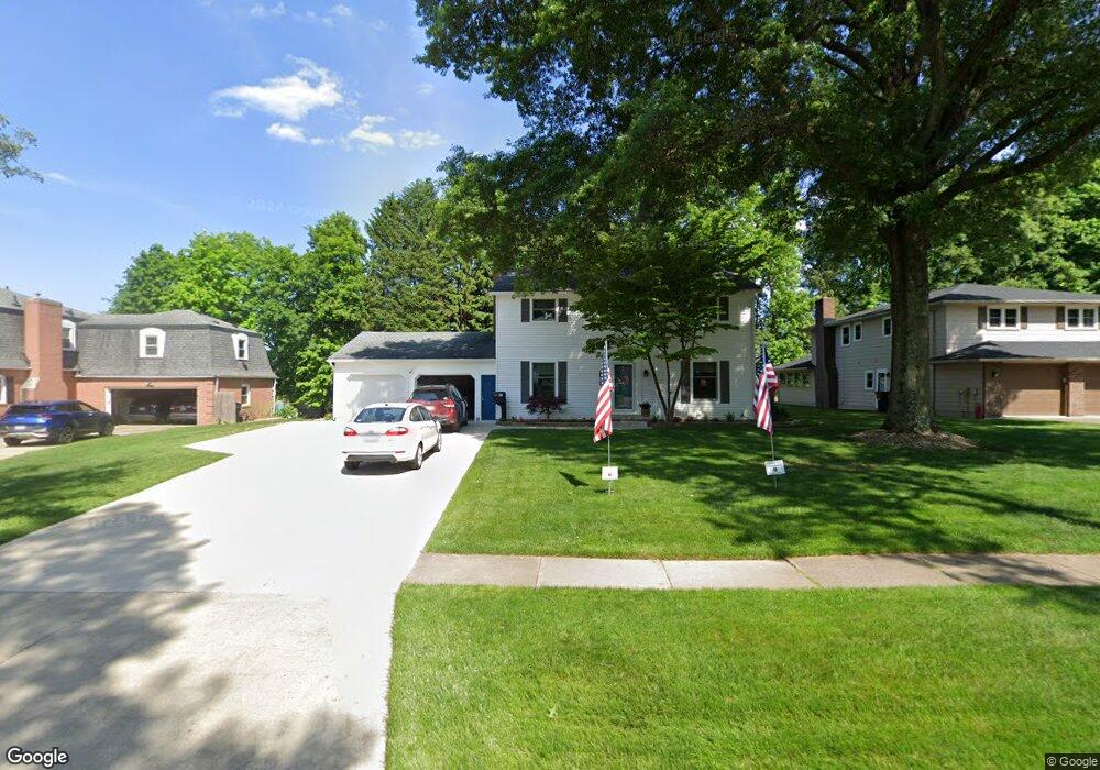
199 High Point Dr Wadsworth, OH 44281
Estimated Value: $322,314 - $352,000
4
Beds
3
Baths
2,160
Sq Ft
$158/Sq Ft
Est. Value
About This Home
This home is located at 199 High Point Dr, Wadsworth, OH 44281 and is currently estimated at $341,829, approximately $158 per square foot. 199 High Point Dr is a home located in Medina County with nearby schools including Overlook Elementary School, Wadsworth Middle School, and Central Intermediate School.
Ownership History
Date
Name
Owned For
Owner Type
Purchase Details
Closed on
Nov 20, 2024
Sold by
Manocchio Traci Crawford and Kollar Traci C
Bought by
Manocchio Traci Crawford
Current Estimated Value
Purchase Details
Closed on
May 20, 1997
Sold by
Kollar Daniel J and Kollar Traci C
Bought by
Kollar Traci C
Home Financials for this Owner
Home Financials are based on the most recent Mortgage that was taken out on this home.
Original Mortgage
$40,000
Interest Rate
8.12%
Create a Home Valuation Report for This Property
The Home Valuation Report is an in-depth analysis detailing your home's value as well as a comparison with similar homes in the area
Home Values in the Area
Average Home Value in this Area
Purchase History
| Date | Buyer | Sale Price | Title Company |
|---|---|---|---|
| Manocchio Traci Crawford | -- | None Listed On Document | |
| Kollar Traci C | -- | -- |
Source: Public Records
Mortgage History
| Date | Status | Borrower | Loan Amount |
|---|---|---|---|
| Previous Owner | Kollar Traci C | $40,000 |
Source: Public Records
Tax History Compared to Growth
Tax History
| Year | Tax Paid | Tax Assessment Tax Assessment Total Assessment is a certain percentage of the fair market value that is determined by local assessors to be the total taxable value of land and additions on the property. | Land | Improvement |
|---|---|---|---|---|
| 2024 | $3,297 | $74,800 | $20,780 | $54,020 |
| 2023 | $3,297 | $74,800 | $20,780 | $54,020 |
| 2022 | $3,304 | $74,800 | $20,780 | $54,020 |
| 2021 | $3,126 | $59,840 | $16,630 | $43,210 |
| 2020 | $2,754 | $59,840 | $16,630 | $43,210 |
| 2019 | $2,758 | $59,840 | $16,630 | $43,210 |
| 2018 | $2,466 | $50,160 | $16,680 | $33,480 |
| 2017 | $2,467 | $50,160 | $16,680 | $33,480 |
| 2016 | $2,508 | $50,160 | $16,680 | $33,480 |
| 2015 | $2,391 | $45,590 | $15,160 | $30,430 |
| 2014 | $2,430 | $45,590 | $15,160 | $30,430 |
| 2013 | $2,433 | $45,590 | $15,160 | $30,430 |
Source: Public Records
Map
Nearby Homes
- 264 Windfall Ln
- 493 Broad St Unit 495
- 371 Broad St
- 178 Fairlawn Ave
- 273 E Boyer St
- 141 Humbolt Ave
- 411 Treeview Dr
- 878 Longbrook Dr
- 440 Dohner Dr
- 957 Devonwood Dr Unit 15
- 637 Bent Creek Dr
- 269 Water St
- 684 Akron Rd
- 119 Park St
- 0 Greenwich Rd
- 362 Silver Meadow Dr
- 105 Barkwood Dr
- 301 S Lyman St
- 268 E Walnut St
- 138 Bay Hill Dr
- 191 High Point Dr
- 207 High Point Dr
- 183 High Point Dr
- 215 High Point Dr
- 194 High Point Dr
- 224 Pheasant Run
- 212 High Point Dr
- 169 Tanglewood Trail
- 173 High Point Dr
- 225 High Point Dr
- 220 Pheasant Run
- 222 High Point Dr
- 228 Pheasant Run
- 199 Tanglewood Trail
- 209 Tanglewood Trail
- 181 Tanglewood Trail
- 163 High Point Dr
- 217 Tanglewood Trail
- 235 High Point Dr
- 230 High Point Dr