199 Hog Farm Cir Canton, GA 30115
Union Hill NeighborhoodEstimated Value: $386,651 - $664,000
3
Beds
1
Bath
1,120
Sq Ft
$439/Sq Ft
Est. Value
About This Home
This home is located at 199 Hog Farm Cir, Canton, GA 30115 and is currently estimated at $492,163, approximately $439 per square foot. 199 Hog Farm Cir is a home located in Cherokee County with nearby schools including Avery Elementary School, Creekland Middle School, and Creekview High School.
Create a Home Valuation Report for This Property
The Home Valuation Report is an in-depth analysis detailing your home's value as well as a comparison with similar homes in the area
Home Values in the Area
Average Home Value in this Area
Tax History Compared to Growth
Tax History
| Year | Tax Paid | Tax Assessment Tax Assessment Total Assessment is a certain percentage of the fair market value that is determined by local assessors to be the total taxable value of land and additions on the property. | Land | Improvement |
|---|---|---|---|---|
| 2025 | $2,713 | $105,532 | $52,720 | $52,812 |
| 2024 | $3,822 | $147,056 | $39,680 | $107,376 |
| 2023 | $3,423 | $131,736 | $32,000 | $99,736 |
| 2022 | $2,863 | $108,936 | $30,720 | $78,216 |
| 2021 | $2,542 | $89,536 | $25,600 | $63,936 |
| 2020 | $2,334 | $82,136 | $25,600 | $56,536 |
| 2019 | $2,029 | $71,400 | $25,600 | $45,800 |
| 2018 | $1,984 | $69,400 | $25,600 | $43,800 |
| 2017 | $2,024 | $175,600 | $25,600 | $44,640 |
| 2016 | $1,841 | $158,100 | $21,720 | $41,520 |
| 2015 | $1,650 | $140,300 | $20,920 | $35,200 |
| 2014 | $1,509 | $128,100 | $17,040 | $34,200 |
Source: Public Records
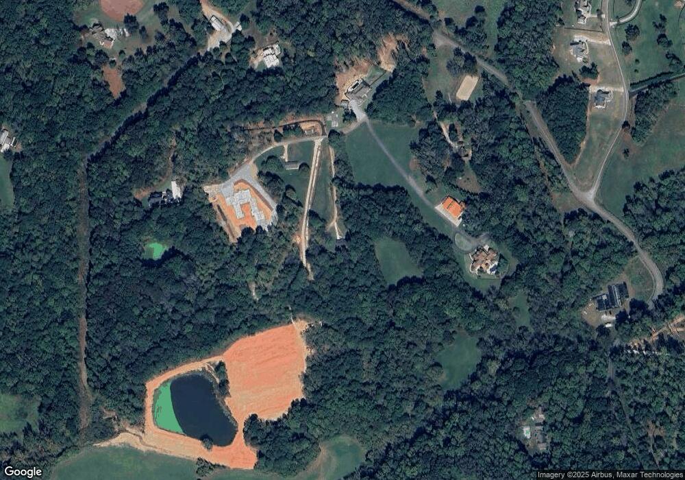
Map
Nearby Homes
- 182 Oak Forest Dr
- 2001 Epperson Rd
- 258 Arliss Dr
- 1205 Sterlington Dr
- 1209 Sterlington Dr
- 1217 Sterlington Dr
- 1216 Sterlington Dr
- 331 Evie Ln
- 128 Creekview Ln
- 826 Buffington Way
- 320 Evie Ln
- 1248 Avery Rd
- 115 Old Avery Dr
- 322 Evie Ln
- 310 Evie Ln
- 1498 Pinyan Ln
- 601 Scott Rd
- 1017 Avery Rd
- 1281 Sterlington Dr
- 302 Evie Ln
- 0 Hog Farm Cir
- 153 Hog Farm Cir
- 1665 Epperson Rd
- 275 Hog Farm Cir
- 1825 Epperson Rd
- 1913 Epperson Rd
- 124 Henson Rd
- 0 Henson Rd Unit 7139390
- 0 Henson Rd Unit 3964086
- 0 Henson Rd Unit 5183202
- 415 William Bobo Dr
- 367 Henson Rd
- 1095 Epperson Rd
- 0 Henson Way
- 00 Henson Way
- 0 Henson Way Unit 7177705
- 0 Henson Way Unit 7082836
- 375 William Bobo Dr
- 217 Oak Forest Dr
- LOT 1 Epperson Farms