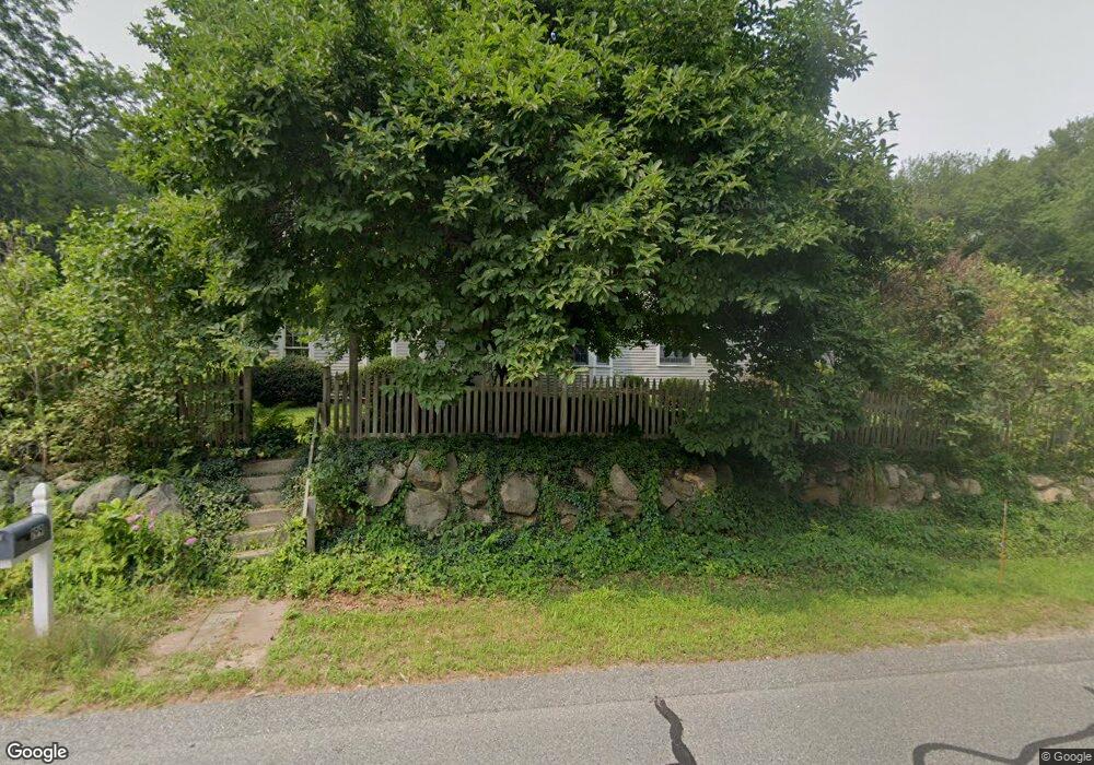
199 Locust St Holliston, MA 01746
Estimated Value: $867,000 - $1,084,000
7
Beds
3
Baths
3,469
Sq Ft
$283/Sq Ft
Est. Value
About This Home
This home is located at 199 Locust St, Holliston, MA 01746 and is currently estimated at $981,622, approximately $282 per square foot. 199 Locust St is a home located in Middlesex County with nearby schools including Miller Elementary School, Robert H. Adams Middle School, and Holliston High School.
Create a Home Valuation Report for This Property
The Home Valuation Report is an in-depth analysis detailing your home's value as well as a comparison with similar homes in the area
Home Values in the Area
Average Home Value in this Area
Tax History Compared to Growth
Tax History
| Year | Tax Paid | Tax Assessment Tax Assessment Total Assessment is a certain percentage of the fair market value that is determined by local assessors to be the total taxable value of land and additions on the property. | Land | Improvement |
|---|---|---|---|---|
| 2025 | $12,515 | $854,300 | $293,700 | $560,600 |
| 2024 | $11,655 | $773,900 | $293,700 | $480,200 |
| 2023 | $10,597 | $688,100 | $245,300 | $442,800 |
| 2022 | $10,850 | $624,300 | $245,300 | $379,000 |
| 2021 | $10,987 | $615,500 | $236,500 | $379,000 |
| 2020 | $10,686 | $566,900 | $236,500 | $330,400 |
| 2019 | $9,908 | $526,200 | $206,100 | $320,100 |
| 2018 | $9,824 | $526,200 | $206,100 | $320,100 |
| 2017 | $9,751 | $526,500 | $198,100 | $328,400 |
| 2016 | $9,893 | $526,500 | $198,100 | $328,400 |
| 2015 | $8,707 | $449,300 | $155,700 | $293,600 |
Source: Public Records
Map
Nearby Homes
- 195 High St
- 131 Jennings Rd
- 56 Roy Ave
- 32 Colonial Way
- 133 Brooksmont Dr Unit 43
- 95 Brooksmont Dr Unit 26
- 54 Westfield Dr
- 11 Francine Dr
- 150 Westfield Dr
- 151 Mohawk Path
- 160 Winter St
- 59 Turner Rd
- 6 Brook St
- 147 Turner Rd Unit 80
- 152 Turner Rd Unit 43
- 152 Turner Rd Unit 14
- 43 Bittersweet Cir Unit 43
- 306 Trailside Way
- 67 Spyglass Hill Dr
- 63 Trailside Way Unit 63