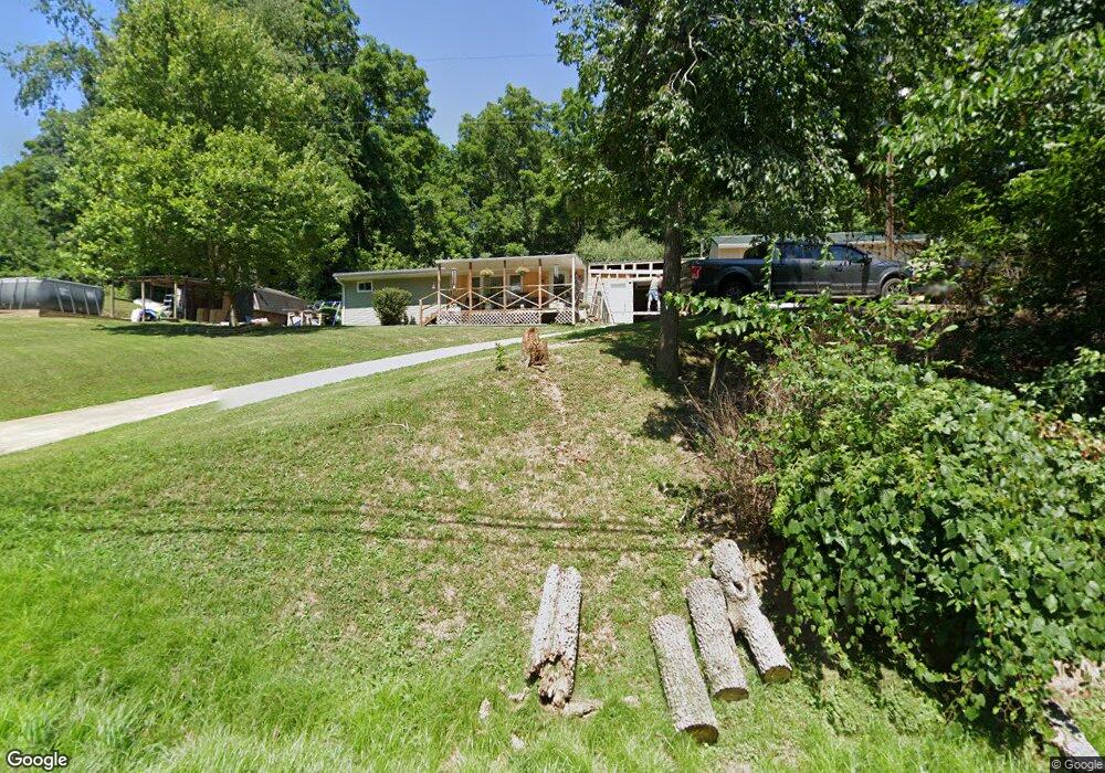
199 Mulga Rd Wellston, OH 45692
Estimated Value: $62,000 - $148,000
3
Beds
1
Bath
1,280
Sq Ft
$85/Sq Ft
Est. Value
About This Home
This home is located at 199 Mulga Rd, Wellston, OH 45692 and is currently estimated at $109,338, approximately $85 per square foot. 199 Mulga Rd is a home located in Jackson County with nearby schools including Bundy Elementary School, Wellston Intermediate School, and Wellston Middle School.
Ownership History
Date
Name
Owned For
Owner Type
Purchase Details
Closed on
Apr 16, 2019
Sold by
Ata Exchange Ltd
Bought by
Wires Richard C and Wires Tammy R
Current Estimated Value
Home Financials for this Owner
Home Financials are based on the most recent Mortgage that was taken out on this home.
Original Mortgage
$64,000
Outstanding Balance
$41,546
Interest Rate
4.3%
Mortgage Type
New Conventional
Estimated Equity
$67,792
Purchase Details
Closed on
Oct 8, 1999
Sold by
Oliver Robert Lee
Bought by
Wires Richard C and Wires Tammy R
Create a Home Valuation Report for This Property
The Home Valuation Report is an in-depth analysis detailing your home's value as well as a comparison with similar homes in the area
Home Values in the Area
Average Home Value in this Area
Purchase History
| Date | Buyer | Sale Price | Title Company |
|---|---|---|---|
| Wires Richard C | -- | Northwest Ttl Fam Of Compani | |
| Ata Exchange Ltd | -- | Northwest Ttl Fam Of Compani | |
| Wires Richard C | $43,000 | -- |
Source: Public Records
Mortgage History
| Date | Status | Borrower | Loan Amount |
|---|---|---|---|
| Open | Wires Richard C | $64,000 |
Source: Public Records
Tax History Compared to Growth
Tax History
| Year | Tax Paid | Tax Assessment Tax Assessment Total Assessment is a certain percentage of the fair market value that is determined by local assessors to be the total taxable value of land and additions on the property. | Land | Improvement |
|---|---|---|---|---|
| 2024 | $616 | $19,730 | $3,860 | $15,870 |
| 2023 | $616 | $19,730 | $3,860 | $15,870 |
| 2022 | $675 | $17,180 | $4,520 | $12,660 |
| 2021 | $567 | $17,180 | $4,520 | $12,660 |
| 2020 | $583 | $17,180 | $4,520 | $12,660 |
| 2019 | $633 | $17,740 | $5,080 | $12,660 |
| 2018 | $612 | $17,740 | $5,080 | $12,660 |
| 2017 | $580 | $17,740 | $5,080 | $12,660 |
| 2016 | $542 | $16,430 | $5,060 | $11,370 |
| 2015 | $541 | $16,430 | $5,060 | $11,370 |
| 2013 | $525 | $15,880 | $5,060 | $10,820 |
| 2012 | $531 | $15,880 | $5,060 | $10,820 |
Source: Public Records
Map
Nearby Homes
- 436 S Connecticut Ave
- 303 E 9th St
- 511 E Broadway St
- 416 S New York Ave
- 224 E 2nd St
- 1254 S New York Ave
- 224 E A St
- 0 Ohio 327
- 16 E Broadway St
- 0 Cedar St
- 1433 S Pennsylvania Ave
- 0 Montgomery Meadows
- 616 S Michigan Ave
- 224 W 4th St
- 21 S Michigan Ave
- 222 N Michigan Ave
- 552 W B St
- 103 Meadow Run Rd
- 103&103B Meadow Run
- 374 Exline Rd