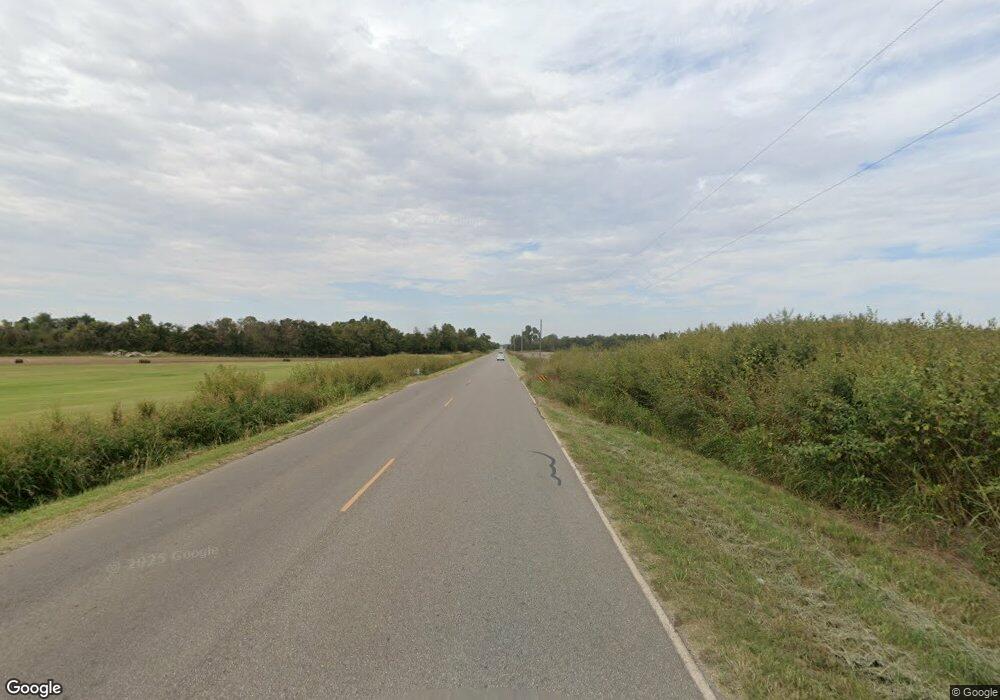
199 N Banner Rd El Reno, OK 73036
Estimated Value: $281,000 - $407,000
3
Beds
2
Baths
2,361
Sq Ft
$149/Sq Ft
Est. Value
About This Home
This home is located at 199 N Banner Rd, El Reno, OK 73036 and is currently estimated at $351,244, approximately $148 per square foot. 199 N Banner Rd is a home located in Canadian County with nearby schools including Banner School.
Ownership History
Date
Name
Owned For
Owner Type
Purchase Details
Closed on
Apr 26, 2010
Sold by
Thompson Kenneth W and Thompson Lynette M
Bought by
Thompson Kenneth W and Thompson Lynette M
Current Estimated Value
Home Financials for this Owner
Home Financials are based on the most recent Mortgage that was taken out on this home.
Original Mortgage
$102,250
Outstanding Balance
$69,202
Interest Rate
5.25%
Mortgage Type
FHA
Estimated Equity
$282,042
Purchase Details
Closed on
Mar 8, 1990
Create a Home Valuation Report for This Property
The Home Valuation Report is an in-depth analysis detailing your home's value as well as a comparison with similar homes in the area
Home Values in the Area
Average Home Value in this Area
Purchase History
| Date | Buyer | Sale Price | Title Company |
|---|---|---|---|
| Thompson Kenneth W | -- | Ort | |
| -- | $75,000 | -- |
Source: Public Records
Mortgage History
| Date | Status | Borrower | Loan Amount |
|---|---|---|---|
| Open | Thompson Kenneth W | $102,250 |
Source: Public Records
Tax History Compared to Growth
Tax History
| Year | Tax Paid | Tax Assessment Tax Assessment Total Assessment is a certain percentage of the fair market value that is determined by local assessors to be the total taxable value of land and additions on the property. | Land | Improvement |
|---|---|---|---|---|
| 2024 | $1,628 | $22,411 | $3,453 | $18,958 |
| 2023 | $1,628 | $21,344 | $3,176 | $18,168 |
| 2022 | $1,564 | $20,328 | $3,132 | $17,196 |
| 2021 | $1,498 | $19,360 | $3,061 | $16,299 |
| 2020 | $1,409 | $18,438 | $2,964 | $15,474 |
| 2019 | $1,349 | $17,560 | $2,875 | $14,685 |
| 2018 | $1,304 | $16,724 | $2,793 | $13,931 |
| 2017 | $1,252 | $15,927 | $2,698 | $13,229 |
| 2016 | $1,169 | $15,927 | $2,697 | $13,230 |
| 2015 | $810 | $11,515 | $2,195 | $9,320 |
| 2014 | $810 | $10,967 | $2,100 | $8,867 |
Source: Public Records
Map
Nearby Homes
- 155 Lariat St
- 105 Lariat St
- 9508 Clayton Park Rd
- 9508 Clayton Park Rd
- 215 Lariat St
- 9506 Clayton Park Rd
- 9501 Clayton Park Rd
- 35 Lariat St
- 275 Lariat St
- 160 Lariat St
- 9509 Clayton Park Rd
- 9504 Clayton Park Rd
- 9507 Clayton Park Rd
- 16970 Homestead
- 250 Lariat St
- 16991 Single Tree
- 9505 Clayton Park Rd
- 9502 Clayton Park Rd
- 16931 Homestead
- 16931 Homestead
