199 N Middlesex Rd Carlisle, PA 17013
Estimated Value: $599,000 - $1,028,867
4
Beds
4
Baths
3,431
Sq Ft
$248/Sq Ft
Est. Value
About This Home
This home is located at 199 N Middlesex Rd, Carlisle, PA 17013 and is currently estimated at $849,217, approximately $247 per square foot. 199 N Middlesex Rd is a home with nearby schools including Middlesex Elementary School, Eagle View Middle School, and Cumberland Valley High School.
Ownership History
Date
Name
Owned For
Owner Type
Purchase Details
Closed on
Apr 15, 2020
Sold by
Stansfield William R and Stansfield Sheri M
Bought by
Tiday Fred A and Tiday Darlene J
Current Estimated Value
Create a Home Valuation Report for This Property
The Home Valuation Report is an in-depth analysis detailing your home's value as well as a comparison with similar homes in the area
Home Values in the Area
Average Home Value in this Area
Purchase History
| Date | Buyer | Sale Price | Title Company |
|---|---|---|---|
| Tiday Fred A | $784,000 | None Available |
Source: Public Records
Tax History Compared to Growth
Tax History
| Year | Tax Paid | Tax Assessment Tax Assessment Total Assessment is a certain percentage of the fair market value that is determined by local assessors to be the total taxable value of land and additions on the property. | Land | Improvement |
|---|---|---|---|---|
| 2025 | $10,655 | $610,000 | $127,100 | $482,900 |
| 2024 | $10,176 | $610,000 | $127,100 | $482,900 |
| 2023 | $9,658 | $610,000 | $127,100 | $482,900 |
| 2022 | $9,134 | $610,000 | $127,100 | $482,900 |
| 2021 | $8,947 | $610,000 | $127,100 | $482,900 |
| 2020 | $8,421 | $584,400 | $127,100 | $457,300 |
| 2019 | $8,290 | $584,400 | $127,100 | $457,300 |
| 2018 | $8,022 | $584,400 | $127,100 | $457,300 |
| 2017 | $7,699 | $584,400 | $127,100 | $457,300 |
| 2016 | -- | $584,400 | $127,100 | $457,300 |
| 2015 | -- | $584,400 | $127,100 | $457,300 |
| 2014 | -- | $584,400 | $127,100 | $457,300 |
Source: Public Records
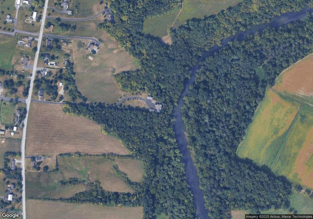
Map
Nearby Homes
- 6 Suebecca Dr
- 26 James Ln
- Lot 27 Suebecca Dr
- 211 W Middlesex Dr
- Copper Beech Plan at Cumberland Preserve - Estates
- Georgia Mae Plan at Cumberland Preserve - Estates
- Molly Plan at Cumberland Preserve - Estates
- Beacon Pointe Plan at Cumberland Preserve - Estates
- 0 Copper Beech Plan at Cumberland Preserve Estates Unit PACB2035570
- 0 Molly Plan at Cumberland Preserve Estates Unit PACB2035574
- 0 Georgia Mae Plan at Cumberland Preserve Estates Unit PACB2035580
- 0 Beacon Pointe Plan at Cumberland Preserve Estates Unit PACB2035568
- 52 Buckeye Ln
- 335 Wolfs Bridge Rd
- 41 Redwood Ln
- 21 Walnut Ln
- 37 Creekside Ln
- 10 Cypress Ln
- 18 Aspen Ln
- 10 Cherry Ln
- 213 N Middlesex Rd
- 205 N Middlesex Rd
- 217 N Middlesex Rd
- 232 N Middlesex Rd
- 201 N Middlesex Rd
- 201 S Middlesex Rd
- 209 N Middlesex Rd
- 211 N Middlesex Rd
- 215 N Middlesex Rd
- 185 N Middlesex Rd
- Lot 3 N Middlesex Rd
- 219 N Middlesex Rd
- 206 N Middlesex Rd
- 210 N Middlesex Rd
- 221 N Middlesex Rd
- 186 N Middlesex Rd
- 216 N Middlesex Rd
- 259 W Middlesex Dr
- 214 N Middlesex Rd
- 229 N Middlesex Rd