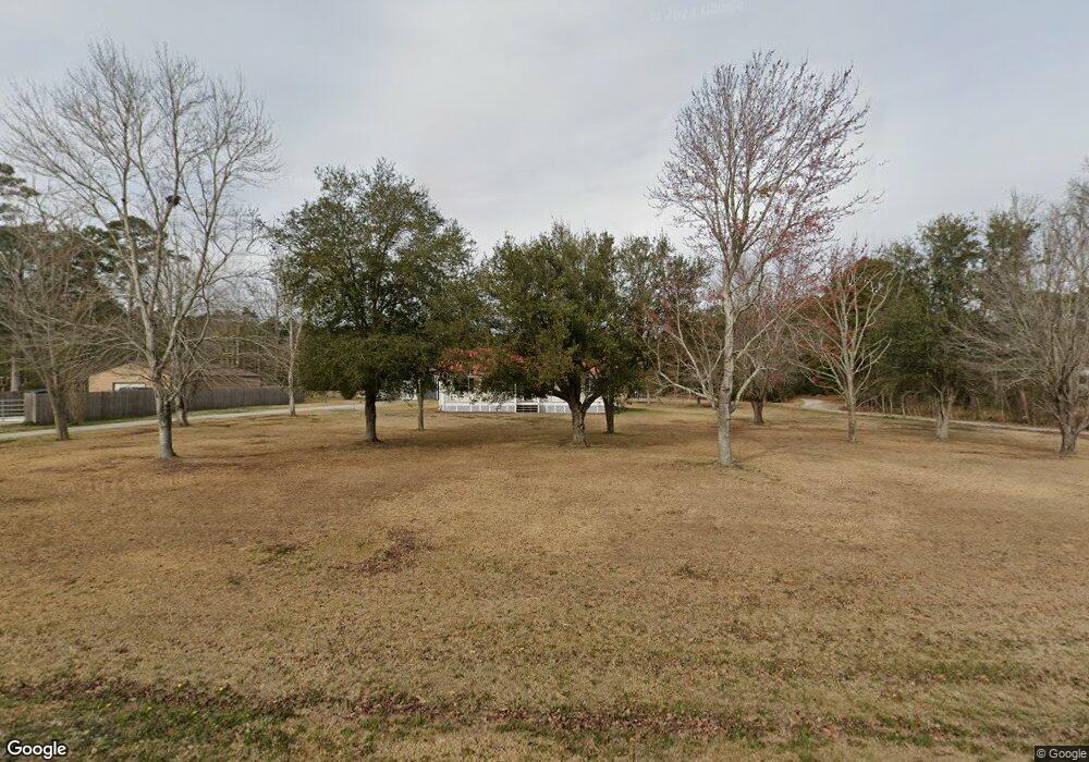
199 Norris Rd Swansboro, NC 28584
Estimated Value: $398,000
--
Bed
2
Baths
--
Sq Ft
9.8
Acres
About This Home
This home is located at 199 Norris Rd, Swansboro, NC 28584 and is currently estimated at $398,000. 199 Norris Rd is a home located in Onslow County with nearby schools including Swansboro Elementary School, Swansboro Middle School, and Swansboro High School.
Ownership History
Date
Name
Owned For
Owner Type
Purchase Details
Closed on
Sep 26, 2014
Sold by
Morton Pamela Marie Trott and Morton Emmett H
Bought by
Morton Pamela T and Morton Emmett H
Current Estimated Value
Home Financials for this Owner
Home Financials are based on the most recent Mortgage that was taken out on this home.
Original Mortgage
$70,000
Outstanding Balance
$53,803
Interest Rate
4.17%
Mortgage Type
Purchase Money Mortgage
Estimated Equity
$344,197
Purchase Details
Closed on
Sep 18, 2006
Sold by
Beasley Estelle Trott
Bought by
Burns Jeffrey Alan
Create a Home Valuation Report for This Property
The Home Valuation Report is an in-depth analysis detailing your home's value as well as a comparison with similar homes in the area
Home Values in the Area
Average Home Value in this Area
Purchase History
| Date | Buyer | Sale Price | Title Company |
|---|---|---|---|
| Morton Pamela T | $150,000 | None Available | |
| Burns Jeffrey Alan | -- | None Available |
Source: Public Records
Mortgage History
| Date | Status | Borrower | Loan Amount |
|---|---|---|---|
| Open | Morton Pamela T | $70,000 |
Source: Public Records
Tax History Compared to Growth
Tax History
| Year | Tax Paid | Tax Assessment Tax Assessment Total Assessment is a certain percentage of the fair market value that is determined by local assessors to be the total taxable value of land and additions on the property. | Land | Improvement |
|---|---|---|---|---|
| 2025 | $202 | $30,820 | $30,820 | $0 |
| 2024 | $202 | $30,820 | $30,820 | $0 |
| 2023 | $202 | $30,820 | $30,820 | $0 |
| 2022 | $202 | $30,820 | $30,820 | $0 |
| 2021 | $228 | $32,400 | $32,400 | $0 |
| 2020 | $228 | $32,400 | $32,400 | $0 |
| 2019 | $228 | $32,400 | $32,400 | $0 |
| 2018 | $228 | $32,400 | $32,400 | $0 |
| 2017 | $1,118 | $165,580 | $59,560 | $106,020 |
| 2016 | $1,118 | $165,580 | $0 | $0 |
| 2015 | $1,118 | $165,580 | $0 | $0 |
| 2014 | $1,118 | $165,580 | $0 | $0 |
Source: Public Records
Map
Nearby Homes
- 109 Borough Nest Dr
- 274 Norris Rd
- 111 Hidden Creek Dr
- 1223 W Corbett Ave
- 200 Low Country Ln
- 161 Howard Ln
- 1476 W Corbett Ave
- 4 Schooner Dr
- 44 Catalina Cir
- 25 Pirates Cove Dr
- 109 Forest Ln
- 1 Portwest Townhouses Dr Unit D
- 195 Queens Creek Rd
- 250 Watercrest Landing Way
- 4178 Freedom Way
- 311 Catamaran Rd
- 233 Belgrade Swansboro Rd
- 239 Belgrade Swansboro Rd
- 307 Joans
- 120 Cormorant Dr
- 193 Norris Rd
- 209 Norris Rd
- 189 Norris Rd
- 198 Norris Rd
- 100 Borough Nest Dr
- 213 Norris Rd
- 0 Norris Rd
- 185 Norris Rd
- 102 Borough Nest Dr
- 190 Norris Rd
- 181 Norris Rd
- 104 Borough Nest Dr
- 201 Channel Marker Loop
- 182 Norris Rd
- 106 Borough Nest Dr
- 177 Norris Rd
- 186 Norris Rd
- 203 Channel Marker Loop
- 144 Burns Ln
- 200 Channel Marker Loop