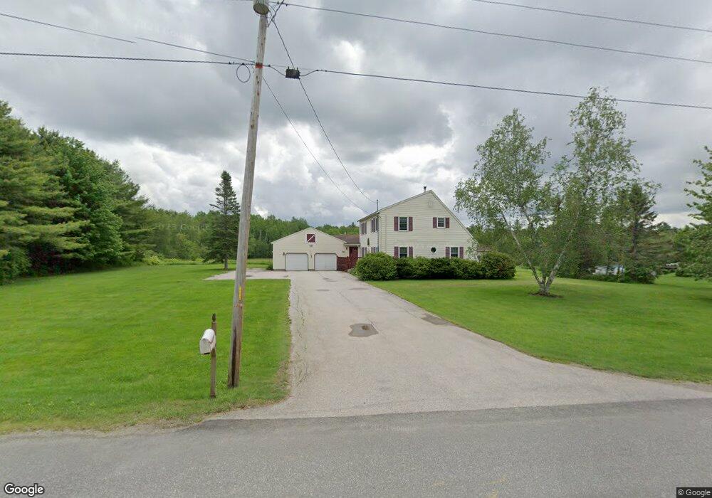
199 Patterson Rd Hampden, ME 04444
Estimated Value: $473,492 - $591,000
3
Beds
3
Baths
2,362
Sq Ft
$231/Sq Ft
Est. Value
About This Home
This home is located at 199 Patterson Rd, Hampden, ME 04444 and is currently estimated at $545,123, approximately $230 per square foot. 199 Patterson Rd is a home located in Penobscot County.
Ownership History
Date
Name
Owned For
Owner Type
Purchase Details
Closed on
Jul 15, 2005
Sold by
Gormely William A and Gormely Teresa
Bought by
Duron Robert W and Duron Stefanie J
Current Estimated Value
Home Financials for this Owner
Home Financials are based on the most recent Mortgage that was taken out on this home.
Original Mortgage
$168,000
Outstanding Balance
$83,931
Interest Rate
5%
Mortgage Type
Adjustable Rate Mortgage/ARM
Estimated Equity
$461,192
Create a Home Valuation Report for This Property
The Home Valuation Report is an in-depth analysis detailing your home's value as well as a comparison with similar homes in the area
Home Values in the Area
Average Home Value in this Area
Purchase History
| Date | Buyer | Sale Price | Title Company |
|---|---|---|---|
| Duron Robert W | -- | -- |
Source: Public Records
Mortgage History
| Date | Status | Borrower | Loan Amount |
|---|---|---|---|
| Open | Duron Robert W | $168,000 |
Source: Public Records
Tax History Compared to Growth
Tax History
| Year | Tax Paid | Tax Assessment Tax Assessment Total Assessment is a certain percentage of the fair market value that is determined by local assessors to be the total taxable value of land and additions on the property. | Land | Improvement |
|---|---|---|---|---|
| 2024 | $5,958 | $380,700 | $66,700 | $314,000 |
| 2023 | $5,998 | $311,600 | $54,600 | $257,000 |
| 2022 | $5,235 | $252,900 | $44,500 | $208,400 |
| 2021 | $5,235 | $252,900 | $44,500 | $208,400 |
| 2020 | $5,159 | $252,900 | $44,500 | $208,400 |
| 2019 | $5,018 | $246,000 | $43,200 | $202,800 |
| 2018 | $4,822 | $246,000 | $43,200 | $202,800 |
| 2017 | $4,526 | $246,000 | $43,200 | $202,800 |
| 2016 | $4,477 | $246,000 | $43,000 | $203,000 |
| 2015 | $4,305 | $246,000 | $43,000 | $203,000 |
| 2014 | $4,305 | $246,000 | $43,200 | $202,800 |
| 2013 | $4,096 | $246,000 | $43,200 | $202,800 |
Source: Public Records
Map
Nearby Homes
- 0 Rt 1a (Honey Hill Estates) Unit Lot 2
- 0 Rt 1a (Honey Hill Estates) Unit Lot 19
- 0 Rt 1a (Honey Hill Estates) Unit Lot 10
- 0 Rt 1a (Honey Hill Estates) Unit Lot 7
- 302 Canaan Rd
- 23 Ichabod Ln
- 22 Meadow Rd
- 9 Patterson Rd
- 00 Meadow Rd
- 692 Kennebec Rd
- Lot 25 Canaan Rd
- 778 Kennebec Rd
- 59 Patterson Rd
- 179 Monroe Rd
- 829 Kennebec Rd
- Lot 65 Freedom Ave
- 594 Western Ave
- 45 Hughes Blvd
- TBD Western Ave
- 514 Meadow Rd
- 201 Patterson Rd
- 193 Patterson Rd
- 200 Patterson Rd
- 192 Patterson Rd
- 203 Patterson Rd
- 208 Patterson Rd
- 213 Patterson Rd
- 204 Patterson
- 188 Patterson Rd
- 220 Patterson Rd
- 189 Patterson Rd
- 181 Patterson Rd
- 180 Patterson Rd
- 184 Patterson Rd
- 178 Patterson Rd
- 171 Patterson Rd
- 165 Patterson Rd
- 157 Patterson Rd
- Lot 6 Graystone Dr
- 75 Ichabod Ln