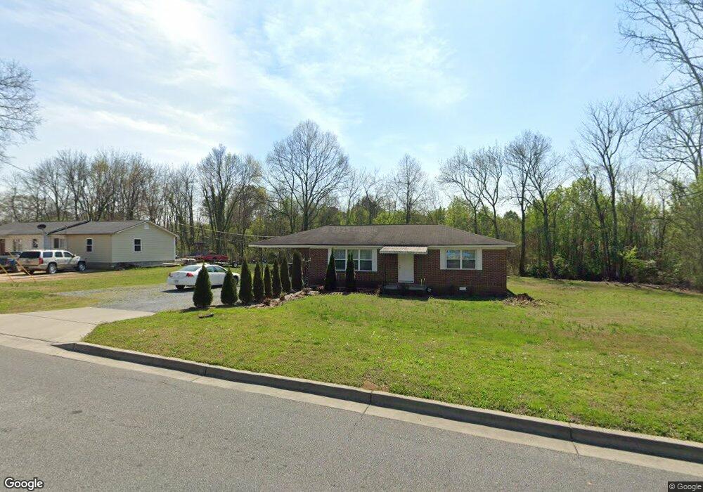
199 Peters St Calhoun, GA 30701
Estimated Value: $157,000 - $261,000
3
Beds
1
Bath
1,066
Sq Ft
$197/Sq Ft
Est. Value
About This Home
This home is located at 199 Peters St, Calhoun, GA 30701 and is currently estimated at $210,024, approximately $197 per square foot. 199 Peters St is a home located in Gordon County with nearby schools including Calhoun Primary School, Calhoun Elementary School, and Calhoun Middle School.
Ownership History
Date
Name
Owned For
Owner Type
Purchase Details
Closed on
Oct 12, 2016
Sold by
Abernathy Randy
Bought by
Flores Jose L and Flores Bueno
Current Estimated Value
Home Financials for this Owner
Home Financials are based on the most recent Mortgage that was taken out on this home.
Original Mortgage
$82,727
Outstanding Balance
$66,405
Interest Rate
3.5%
Mortgage Type
New Conventional
Estimated Equity
$143,619
Purchase Details
Closed on
Aug 1, 2016
Sold by
Willie Eugene
Bought by
Abernathy Randy
Create a Home Valuation Report for This Property
The Home Valuation Report is an in-depth analysis detailing your home's value as well as a comparison with similar homes in the area
Home Values in the Area
Average Home Value in this Area
Purchase History
| Date | Buyer | Sale Price | Title Company |
|---|---|---|---|
| Flores Jose L | $81,900 | -- | |
| Abernathy Randy | $38,000 | -- |
Source: Public Records
Mortgage History
| Date | Status | Borrower | Loan Amount |
|---|---|---|---|
| Open | Flores Jose L | $82,727 |
Source: Public Records
Tax History Compared to Growth
Tax History
| Year | Tax Paid | Tax Assessment Tax Assessment Total Assessment is a certain percentage of the fair market value that is determined by local assessors to be the total taxable value of land and additions on the property. | Land | Improvement |
|---|---|---|---|---|
| 2024 | $1,214 | $43,840 | $8,000 | $35,840 |
| 2023 | $1,143 | $41,280 | $8,000 | $33,280 |
| 2022 | $325 | $36,160 | $8,000 | $28,160 |
| 2021 | $801 | $27,560 | $5,600 | $21,960 |
| 2020 | $817 | $27,880 | $5,600 | $22,280 |
| 2019 | $816 | $27,880 | $5,600 | $22,280 |
| 2018 | $252 | $28,200 | $5,600 | $22,600 |
| 2017 | $243 | $26,760 | $5,600 | $21,160 |
| 2016 | $178 | $18,080 | $3,920 | $14,160 |
| 2015 | $177 | $17,760 | $3,920 | $13,840 |
| 2014 | $168 | $17,100 | $3,920 | $13,180 |
Source: Public Records
Map
Nearby Homes
- The Pearson Plan at Creekview
- The Coleman Plan at Creekview
- The Benson II Plan at Creekview
- The Piedmont Plan at Creekview
- The Harrington Plan at Creekview
- The McGinnis Plan at Creekview
- The Caldwell Plan at Creekview
- 402 Linda Ln
- 212 Sherwood Dr
- 199 Cherry St SE
- 119 Deer Park Ln
- 0 W Belmont Dr Unit 10489910
- 114 Vinings Way SE
- 156 Fair Oak Ln
- 162 Oakleigh Ct
- 187 Asbury Cir
- 1208 Jewel Ct
- 173 Oakleigh Dr
- 0 Resaca Lafayette Rd Unit 7113987
- 00 Resaca Lafayette Rd