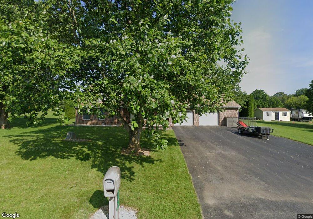
199 President Ave Shippensburg, PA 17257
Estimated Value: $384,000 - $457,643
2
Beds
3
Baths
2,229
Sq Ft
$184/Sq Ft
Est. Value
About This Home
This home is located at 199 President Ave, Shippensburg, PA 17257 and is currently estimated at $410,161, approximately $184 per square foot. 199 President Ave is a home located in Franklin County with nearby schools including Shippensburg Area Senior High School, Mt. Rock Parochial School, and Shippensburg Independent Baptist Christian Academy.
Ownership History
Date
Name
Owned For
Owner Type
Purchase Details
Closed on
Jan 8, 2006
Sold by
Cleghorn Michael Scott and Cleghorn Darla Jean
Bought by
Weagly David E and Weagly Gloria D
Current Estimated Value
Home Financials for this Owner
Home Financials are based on the most recent Mortgage that was taken out on this home.
Original Mortgage
$199,200
Interest Rate
6.18%
Mortgage Type
New Conventional
Create a Home Valuation Report for This Property
The Home Valuation Report is an in-depth analysis detailing your home's value as well as a comparison with similar homes in the area
Home Values in the Area
Average Home Value in this Area
Purchase History
| Date | Buyer | Sale Price | Title Company |
|---|---|---|---|
| Weagly David E | $249,000 | None Available |
Source: Public Records
Mortgage History
| Date | Status | Borrower | Loan Amount |
|---|---|---|---|
| Previous Owner | Weagly David E | $199,200 |
Source: Public Records
Tax History Compared to Growth
Tax History
| Year | Tax Paid | Tax Assessment Tax Assessment Total Assessment is a certain percentage of the fair market value that is determined by local assessors to be the total taxable value of land and additions on the property. | Land | Improvement |
|---|---|---|---|---|
| 2025 | $3,779 | $25,530 | $1,730 | $23,800 |
| 2024 | $3,307 | $25,530 | $1,730 | $23,800 |
| 2023 | $3,240 | $25,530 | $1,730 | $23,800 |
| 2022 | $3,218 | $25,530 | $1,730 | $23,800 |
| 2021 | $3,123 | $25,530 | $1,730 | $23,800 |
| 2020 | $3,281 | $25,530 | $1,730 | $23,800 |
| 2019 | $1,567 | $25,530 | $1,730 | $23,800 |
| 2018 | $3,311 | $25,530 | $1,730 | $23,800 |
| 2017 | $3,337 | $25,530 | $1,730 | $23,800 |
| 2016 | $692 | $24,730 | $1,730 | $23,000 |
| 2015 | $644 | $24,730 | $1,730 | $23,000 |
| 2014 | $644 | $24,730 | $1,730 | $23,000 |
Source: Public Records
Map
Nearby Homes
- 0 Mount Rock Rd
- 8256 Olde Scotland Rd
- 8640 Possum Hollow Rd
- 23 Lenwood Park
- 8029 Molly Pitcher Hwy
- 127 Stony Point Ave
- 642 Eric Dr
- 423 Bradley Ln
- 476 Beech Tree St
- 9807 Possum Hollow Rd
- 25 Lippizan Dr
- 3035 Stillhouse Hollow Rd
- 700 Remington Dr
- 10050 Mccreary Rd
- 6062 Molly Pitcher Hwy
- 0 Means Hollow Rd Unit PAFL2029114
- 0 Means Hollow Rd Unit 25178950
- 108 Baker and Russell Dr
- 184 Park Heights Ave
- 201 Baker & Russell Dr
- 213 President Ave
- 185 President Ave
- 0 President Ave Unit 1003686604
- 202 President Ave
- 188 President Ave
- 171 President Ave
- 227 President Ave
- 230 President Ave
- 1001 Heritage Ave
- 157 President Ave
- 240 President Ave
- 1015 Heritage Ave
- 143 President Ave
- 1049 Heritage Ave
- 129 President Ave
- 1010 Heritage Ave
- 1036 Heritage Ave
- 115 President Ave
- 1024 Heritage Ave
- 100 President Ave