199 Roberts Ln Colquitt, GA 39837
Estimated Value: $175,000 - $1,099,000
3
Beds
2
Baths
1,684
Sq Ft
$357/Sq Ft
Est. Value
About This Home
This home is located at 199 Roberts Ln, Colquitt, GA 39837 and is currently estimated at $601,856, approximately $357 per square foot. 199 Roberts Ln is a home with nearby schools including Miller County Elementary School, Miller County Middle School, and Miller County High School.
Ownership History
Date
Name
Owned For
Owner Type
Purchase Details
Closed on
Jun 15, 2011
Sold by
Carter Catherine D
Bought by
Carter Catherine D and Dennis Michael Carter Family Trust
Current Estimated Value
Purchase Details
Closed on
Aug 17, 2010
Sold by
Carter Dennis Michael and Carter Catherine D
Bought by
Carter Dennis Michael Family Trust
Purchase Details
Closed on
Jul 6, 2009
Sold by
Phillips Opal R
Bought by
Carter Dennis Michael and Carter Catherine D
Create a Home Valuation Report for This Property
The Home Valuation Report is an in-depth analysis detailing your home's value as well as a comparison with similar homes in the area
Home Values in the Area
Average Home Value in this Area
Purchase History
| Date | Buyer | Sale Price | Title Company |
|---|---|---|---|
| Carter Catherine D | -- | -- | |
| Carter Dennis Michael Family Trust | -- | -- | |
| Carter Dennis Michael | $445,000 | -- |
Source: Public Records
Tax History Compared to Growth
Tax History
| Year | Tax Paid | Tax Assessment Tax Assessment Total Assessment is a certain percentage of the fair market value that is determined by local assessors to be the total taxable value of land and additions on the property. | Land | Improvement |
|---|---|---|---|---|
| 2024 | $3,810 | $164,233 | $115,640 | $48,593 |
| 2023 | $3,539 | $152,059 | $115,640 | $36,419 |
| 2022 | $3,758 | $152,684 | $115,640 | $37,044 |
| 2021 | $3,654 | $152,684 | $115,640 | $37,044 |
| 2020 | $3,592 | $152,684 | $115,640 | $37,044 |
| 2019 | $3,542 | $152,684 | $115,640 | $37,044 |
| 2018 | $5,645 | $153,081 | $115,640 | $37,441 |
| 2017 | $5,623 | $152,496 | $115,640 | $36,856 |
| 2016 | $3,267 | $152,496 | $115,640 | $36,856 |
| 2015 | -- | $119,494 | $80,406 | $39,088 |
| 2014 | -- | $119,494 | $80,406 | $39,088 |
| 2013 | -- | $119,493 | $80,405 | $39,088 |
Source: Public Records
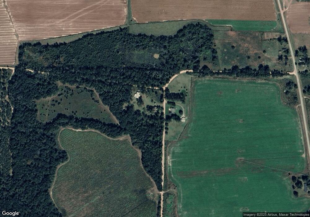
Map
Nearby Homes
- 745 Harmony Church Rd
- 1545 Phillipsburg Rd
- 113 Crooked Oak Ln
- 7855 Joe Bryan St
- Pullen Rd
- 74 Harmony Church Rd
- 8667 Joe Bryan St
- 1563 Ga Highway 27 N
- 430 Cox Rd
- 000 Phillipsburg Rd
- 0 Big Pond Rd
- 300 N First St
- 000 Georgia 200
- 210 N First St
- 570 E Pine St
- 157 E Pine St
- 356 E Main St
- 2835 Georgia 91
- US 27 Us Highway 27
- 102 Bremond St
- 198 Roberts Ln
- 5042 Killebrew Rd
- 4749 Killebrew Rd
- 132 Roberts Ln
- 5042 Killebrew Rd
- 4720 Killebrew Rd
- 3105 County Line Rd
- 5135 Killebrew Rd
- 62 Roberts Ln
- 735 Jeterville Rd
- 633 N Early County Line Rd
- 28 Gordon Ln
- 5280 Killebrew Rd
- 5125 Ga Highway 45
- 1507 Ga Highway 45 N
- 1497 Ga Highway 45 N
- 560 Everson Rd
- 865 Harmony Church Rd
- 513 Everson Rd
- 1439 Ga Highway 45 N