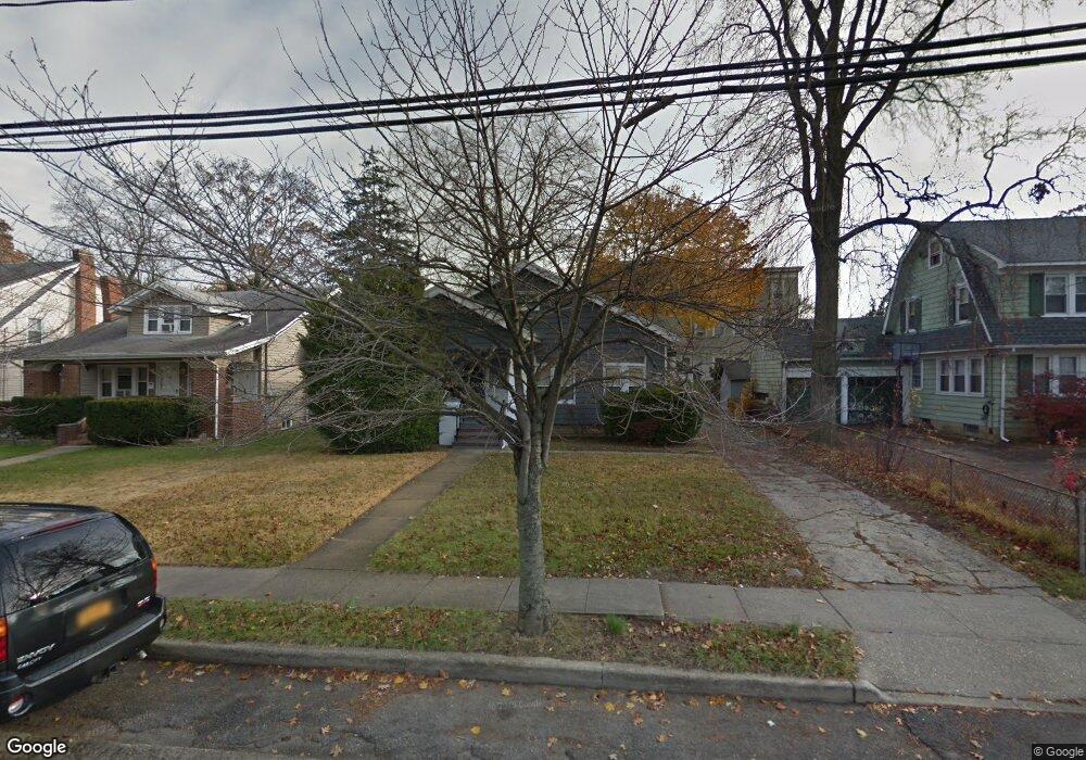
199 S Long Beach Ave Freeport, NY 11520
Estimated Value: $655,000 - $690,241
3
Beds
1
Bath
2,139
Sq Ft
$314/Sq Ft
Est. Value
About This Home
This home is located at 199 S Long Beach Ave, Freeport, NY 11520 and is currently estimated at $672,621, approximately $314 per square foot. 199 S Long Beach Ave is a home located in Nassau County with nearby schools including Columbus Avenue School, Caroline G. Atkinson Intermediate School, and John W Dodd Middle School.
Ownership History
Date
Name
Owned For
Owner Type
Purchase Details
Closed on
Dec 21, 2022
Sold by
Joseph Donald A and Joseph Daniel Aaron
Bought by
Joseph Donald A and Joseph Linda
Current Estimated Value
Purchase Details
Closed on
Dec 18, 2019
Sold by
Micek Angela Christopulos and Garuffi Diane
Bought by
Joseph Donald A and Joseph Daniel Aaron
Home Financials for this Owner
Home Financials are based on the most recent Mortgage that was taken out on this home.
Original Mortgage
$380,000
Outstanding Balance
$335,025
Interest Rate
3.6%
Mortgage Type
New Conventional
Estimated Equity
$337,596
Create a Home Valuation Report for This Property
The Home Valuation Report is an in-depth analysis detailing your home's value as well as a comparison with similar homes in the area
Home Values in the Area
Average Home Value in this Area
Purchase History
| Date | Buyer | Sale Price | Title Company |
|---|---|---|---|
| Joseph Donald A | -- | Judicial Title | |
| Joseph Donald A | $400,000 | Amtrust Title |
Source: Public Records
Mortgage History
| Date | Status | Borrower | Loan Amount |
|---|---|---|---|
| Open | Joseph Donald A | $380,000 |
Source: Public Records
Tax History Compared to Growth
Tax History
| Year | Tax Paid | Tax Assessment Tax Assessment Total Assessment is a certain percentage of the fair market value that is determined by local assessors to be the total taxable value of land and additions on the property. | Land | Improvement |
|---|---|---|---|---|
| 2025 | $9,099 | $435 | $162 | $273 |
| 2024 | $911 | $435 | $162 | $273 |
| 2023 | $8,527 | $435 | $162 | $273 |
| 2022 | $8,527 | $418 | $160 | $258 |
| 2021 | $12,168 | $400 | $153 | $247 |
| 2020 | $5,905 | $469 | $335 | $134 |
| 2019 | $452 | $469 | $335 | $134 |
| 2018 | $3,143 | $469 | $0 | $0 |
| 2017 | $3,643 | $469 | $317 | $152 |
| 2016 | $4,040 | $496 | $301 | $195 |
| 2015 | $240 | $524 | $283 | $241 |
| 2014 | $240 | $524 | $283 | $241 |
| 2013 | $254 | $552 | $298 | $254 |
Source: Public Records
Map
Nearby Homes
- 103 Rose St
- 187 S Long Beach Ave
- 222 Smith St Unit 3C
- 222 Smith St Unit 1B
- 194 Smith St Unit 1B
- 194 Smith St Unit 3P
- 194 Smith St Unit 1
- 137 Smith St Unit A4
- 149 Smith St Unit e-22
- 145 Smith St Unit D4
- 153 Smith St Unit F22
- 190 W Merrick Rd Unit 4E
- 250 W Merrick Rd Unit 2R
- 250 W Merrick Rd Unit 2 L
- 250 W Merrick Rd Unit 1F
- 250 W Merrick Rd Unit 2F
- 175 Archer St Unit 1C
- 175 Archer St Unit 3A
- 124 Smith St Unit 1B
- 124 Smith St Unit 3B
- 197 S Long Beach Ave
- 207 S Long Beach Ave
- 110 Rose St
- 185 S Long Beach Ave
- 126 Rose St
- 198 S Long Beach Ave
- 227 Smith St
- 190 S Long Beach Ave
- 181 S Long Beach Ave
- 215 S Long Beach Ave
- 132 Rose St
- 105 Rose St
- 217 Smith St
- 220 S Long Beach Ave
- 184 S Long Beach Ave
- 22 Miller Ave
- 18 Miller Ave
- 136 Rose St
- 26 Miller Ave
- 221 S Long Beach Ave