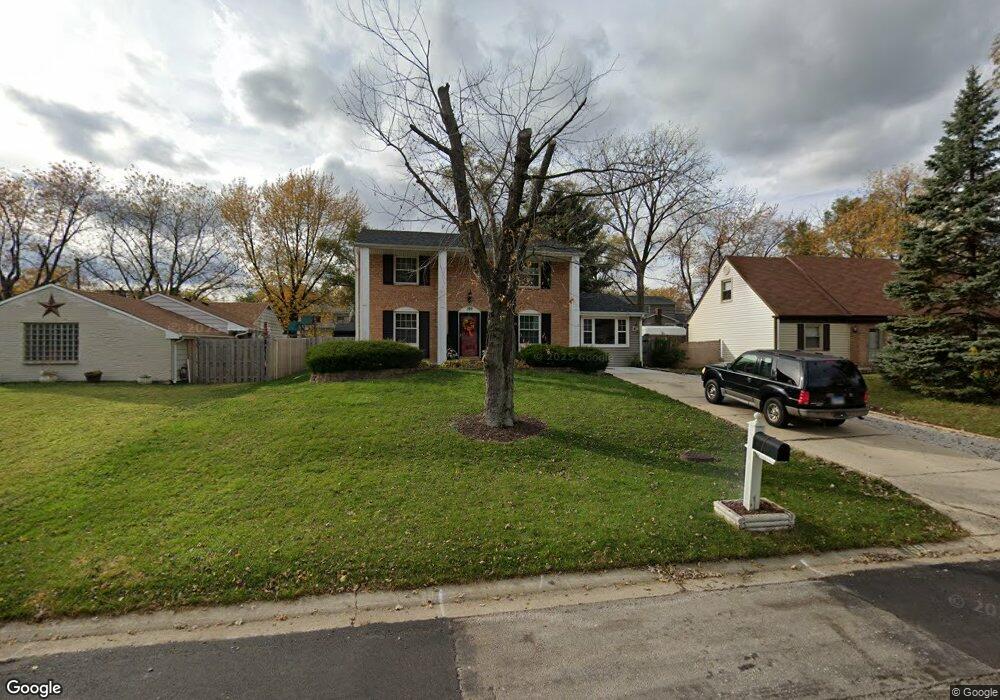
199 Seabury Rd Bolingbrook, IL 60440
East Bolingbrook NeighborhoodEstimated Value: $302,861 - $351,000
4
Beds
3
Baths
1,536
Sq Ft
$213/Sq Ft
Est. Value
About This Home
This home is located at 199 Seabury Rd, Bolingbrook, IL 60440 and is currently estimated at $327,215, approximately $213 per square foot. 199 Seabury Rd is a home located in Will County with nearby schools including John R Tibbott Elementary School, Hubert H Humphrey Middle School, and Brooks Middle School.
Ownership History
Date
Name
Owned For
Owner Type
Purchase Details
Closed on
Mar 9, 2007
Sold by
Robinson Kenneth
Bought by
Robinson Yvonne
Current Estimated Value
Purchase Details
Closed on
Mar 1, 2007
Sold by
Robinson Yuonne
Bought by
Robinson Kenneth
Purchase Details
Closed on
Dec 8, 1993
Sold by
Standard Bank & Trust Company
Bought by
Robinson Kenneth
Home Financials for this Owner
Home Financials are based on the most recent Mortgage that was taken out on this home.
Original Mortgage
$75,888
Interest Rate
7.26%
Create a Home Valuation Report for This Property
The Home Valuation Report is an in-depth analysis detailing your home's value as well as a comparison with similar homes in the area
Home Values in the Area
Average Home Value in this Area
Purchase History
| Date | Buyer | Sale Price | Title Company |
|---|---|---|---|
| Robinson Yvonne | -- | None Available | |
| Robinson Kenneth | -- | None Available | |
| Robinson Kenneth | $74,500 | -- |
Source: Public Records
Mortgage History
| Date | Status | Borrower | Loan Amount |
|---|---|---|---|
| Previous Owner | Robinson Kenneth | $75,888 |
Source: Public Records
Tax History
| Year | Tax Paid | Tax Assessment Tax Assessment Total Assessment is a certain percentage of the fair market value that is determined by local assessors to be the total taxable value of land and additions on the property. | Land | Improvement |
|---|---|---|---|---|
| 2024 | $7,844 | $92,930 | $19,575 | $73,355 |
| 2023 | $7,844 | $83,615 | $17,613 | $66,002 |
| 2022 | $6,858 | $75,383 | $15,879 | $59,504 |
| 2021 | $6,492 | $70,484 | $14,847 | $55,637 |
| 2020 | $6,288 | $68,167 | $14,359 | $53,808 |
| 2019 | $5,948 | $63,648 | $13,407 | $50,241 |
| 2018 | $5,458 | $58,553 | $12,333 | $46,220 |
| 2017 | $5,188 | $55,500 | $11,690 | $43,810 |
| 2016 | $4,811 | $50,800 | $10,700 | $40,100 |
| 2015 | $4,620 | $48,800 | $10,300 | $38,500 |
| 2014 | $4,620 | $46,500 | $9,800 | $36,700 |
| 2013 | $4,620 | $48,900 | $10,300 | $38,600 |
Source: Public Records
Map
Nearby Homes
- 220 N Ashbury Ave
- 207 Seabury Rd
- 157 Vernon Dr Unit 6
- 325 Rockhurst Rd
- 404 Galahad Rd
- 124 Seabury Rd
- 473 Rockhurst Rd
- 234 Malibu Dr
- 409 N Ashbury Ave
- 428 N Ashbury Ave
- 153 Camelot Way
- 417 Monet Cir
- 505 Goodwin Dr
- 526 King Arthur Way
- 492 Ridge Ln
- 118 Camelot Way
- 490 Ridge Ln
- 488 Ridge Ln
- 103 Enclave Cir Unit C
- 547 Goodwin Dr
- 195 Seabury Rd
- 203 Seabury Rd
- 208 N Ashbury Ave
- 212 N Ashbury Ave
- 191 Seabury Rd
- 216 N Ashbury Ave
- 204 N Ashbury Ave
- 198 Seabury Rd Unit 6
- 194 Seabury Rd
- 202 Seabury Rd
- 211 Seabury Rd
- 187 Seabury Rd
- 200 N Ashbury Ave
- 190 Seabury Rd
- 206 Seabury Rd
- 224 N Ashbury Ave
- 186 Seabury Rd
- 215 Seabury Rd
- 207 N Ashbury Ave
- 210 Seabury Rd
Your Personal Tour Guide
Ask me questions while you tour the home.