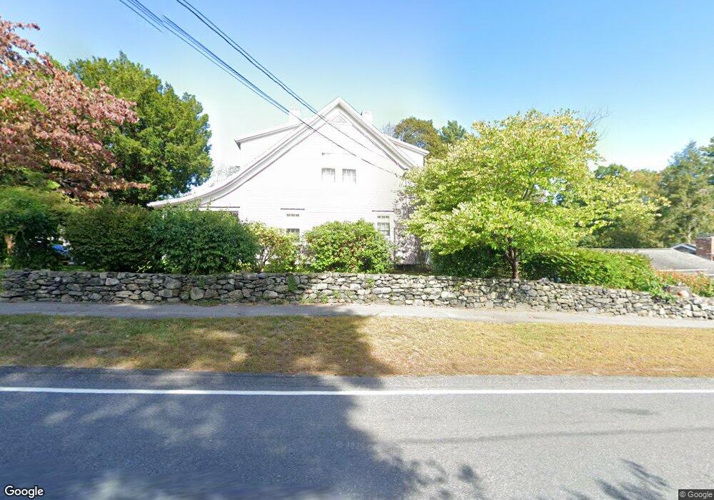
199 Sterling Rd Lancaster, MA 01523
Estimated Value: $617,000 - $732,000
5
Beds
6
Baths
3,803
Sq Ft
$174/Sq Ft
Est. Value
About This Home
This home is located at 199 Sterling Rd, Lancaster, MA 01523 and is currently estimated at $662,333, approximately $174 per square foot. 199 Sterling Rd is a home located in Worcester County with nearby schools including Mary Rowlandson Elementary School, Luther Burbank Middle School, and Nashoba Regional High School.
Ownership History
Date
Name
Owned For
Owner Type
Purchase Details
Closed on
Feb 16, 2016
Sold by
Mcdonald Patricia J
Bought by
Mcdonald Lt
Current Estimated Value
Create a Home Valuation Report for This Property
The Home Valuation Report is an in-depth analysis detailing your home's value as well as a comparison with similar homes in the area
Home Values in the Area
Average Home Value in this Area
Purchase History
| Date | Buyer | Sale Price | Title Company |
|---|---|---|---|
| Mcdonald Lt | -- | -- |
Source: Public Records
Tax History
| Year | Tax Paid | Tax Assessment Tax Assessment Total Assessment is a certain percentage of the fair market value that is determined by local assessors to be the total taxable value of land and additions on the property. | Land | Improvement |
|---|---|---|---|---|
| 2025 | $8,284 | $512,600 | $115,300 | $397,300 |
| 2024 | $12,618 | $722,700 | $107,300 | $615,400 |
| 2023 | $8,989 | $522,900 | $97,600 | $425,300 |
| 2022 | $9,015 | $463,500 | $100,400 | $363,100 |
| 2021 | $8,535 | $427,200 | $100,400 | $326,800 |
| 2020 | $6,525 | $328,700 | $100,400 | $228,300 |
| 2019 | $6,559 | $332,100 | $100,400 | $231,700 |
| 2018 | $6,462 | $323,400 | $100,400 | $223,000 |
| 2016 | $6,100 | $312,000 | $99,500 | $212,500 |
| 2015 | $5,870 | $312,900 | $99,500 | $213,400 |
| 2014 | $6,155 | $325,500 | $99,500 | $226,000 |
Source: Public Records
Map
Nearby Homes
- 111 Goss Ln
- 0 Parker Rd
- 29 Bennett Ln
- 132 Kilbourn Rd
- 30 S Meadow Rd
- 861 Main St
- 600 Red Tail Way
- 7-9 Boynton St
- 229 Sterling St
- 9 Hamilton St
- 508 High St
- 719 Main St
- 19 Brendan Rd
- 57 Clark St
- 55 Sterling St Unit 306
- 55 Sterling St Unit 314
- 55 Sterling St Unit 212
- 55 Sterling St Unit 305
- 565 Langen Rd
- 303 Ridgefield Cir Unit A
- 185 Sterling Rd
- 225 Sterling Rd
- 204 Sterling Rd
- 218 Sterling Rd
- 200 Sterling Rd
- 200 Sterling Rd Unit A
- 186 Sterling Rd
- 175 Sterling Rd
- 239 Sterling Rd
- 238 Sterling Rd
- 172 Sterling Rd
- 251 Sterling Rd
- 157 Sterling Rd
- 141 Sylvan Rd
- 258 Sterling Rd
- 159 Sylvan Rd
- 149 Sterling Rd
- 263 Sterling Rd
- 131 Sylvan Rd
- 148 Sterling Rd
Your Personal Tour Guide
Ask me questions while you tour the home.