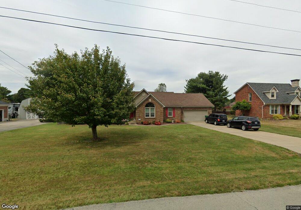
199 Travis Rd Shepherdsville, KY 40165
Estimated Value: $363,190 - $447,000
3
Beds
2
Baths
1,798
Sq Ft
$222/Sq Ft
Est. Value
About This Home
This home is located at 199 Travis Rd, Shepherdsville, KY 40165 and is currently estimated at $398,298, approximately $221 per square foot. 199 Travis Rd is a home located in Bullitt County with nearby schools including Freedom Elementary School, Hebron Middle School, and North Bullitt High School.
Ownership History
Date
Name
Owned For
Owner Type
Purchase Details
Closed on
May 21, 2020
Sold by
Gish Michael S
Bought by
Gish Michael S and Gish Melissa J
Current Estimated Value
Home Financials for this Owner
Home Financials are based on the most recent Mortgage that was taken out on this home.
Original Mortgage
$168,500
Outstanding Balance
$146,243
Interest Rate
3.3%
Mortgage Type
New Conventional
Estimated Equity
$252,055
Create a Home Valuation Report for This Property
The Home Valuation Report is an in-depth analysis detailing your home's value as well as a comparison with similar homes in the area
Home Values in the Area
Average Home Value in this Area
Purchase History
| Date | Buyer | Sale Price | Title Company |
|---|---|---|---|
| Gish Michael S | -- | Commonwealth Usa Settlement | |
| Gish Michael S | -- | Commonwealth Usa Settlement |
Source: Public Records
Mortgage History
| Date | Status | Borrower | Loan Amount |
|---|---|---|---|
| Open | Gish Michael S | $168,500 | |
| Closed | Gish Michael S | $168,500 |
Source: Public Records
Tax History Compared to Growth
Tax History
| Year | Tax Paid | Tax Assessment Tax Assessment Total Assessment is a certain percentage of the fair market value that is determined by local assessors to be the total taxable value of land and additions on the property. | Land | Improvement |
|---|---|---|---|---|
| 2024 | $2,539 | $218,000 | $52,000 | $166,000 |
| 2023 | $2,521 | $218,000 | $0 | $218,000 |
| 2022 | $2,547 | $218,000 | $0 | $218,000 |
| 2021 | $2,552 | $218,000 | $0 | $0 |
| 2020 | $2,498 | $218,000 | $0 | $0 |
| 2019 | $2,462 | $218,000 | $0 | $0 |
| 2018 | $2,511 | $218,000 | $0 | $0 |
| 2017 | $2,452 | $216,094 | $0 | $0 |
| 2016 | $2,170 | $194,680 | $0 | $0 |
| 2015 | $2,066 | $194,680 | $0 | $0 |
| 2014 | $1,923 | $194,680 | $0 | $0 |
Source: Public Records
Map
Nearby Homes
- 953 Floyds Fork Rd
- 887 Floyds Fork Dr
- 151 Rustic Way
- 310 Christman Ln Unit B
- 265 Cedar Creek Rd
- 187 Cedar Creek Rd
- 1135 Mill Brook Cir
- 310 Minnie Ln
- 190 Millstone Ct
- 210 Crossfield Dr
- Lot 2 Wray Dr
- Lot 15 Wray Dr
- Lot 1 Wray Dr
- Lot 8 Wray Dr
- Lot 3 Wray Dr
- Lot 6 Cleveland Ct
- Lot 4 Cleveland Ct
- 392 Gentry Ln
- 355 Rockwood Ln
- Lot 7 Wray Dr
- 221 Travis Rd
- 177 Travis Rd
- 157 Travis Rd
- 172 Clifton Hall Ct
- 180 Clifton Hall Ct
- 146 Clifton Hall Ct
- 988 Floyds Fork Dr
- 253 Travis Rd
- 271 Derek Rd
- 988 Floyds Fork Dr
- 240 Travis Rd
- 1018 Floyds Fork Dr
- 272 Derek Rd
- 158 Travis Rd
- 135 Travis Rd
- 182 Clifton Hall Ct
- 938 Floyds Fork Dr
- 199 Clifton Hall Ct
- 134 Dorothy Ct
- 120 Clifton Hall Ct