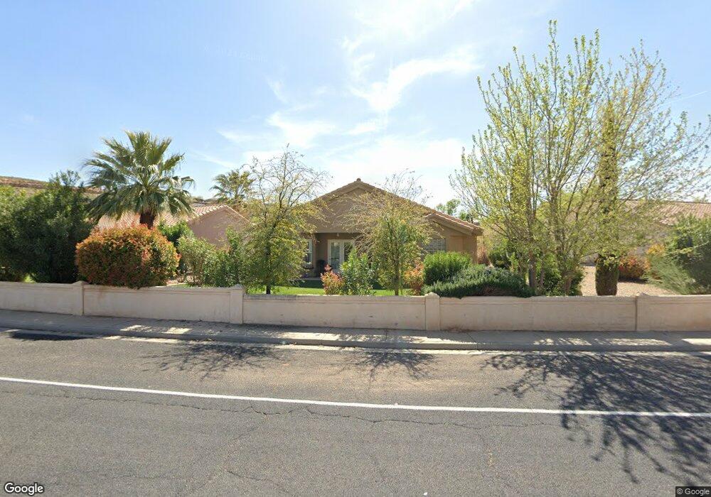
199 W 2025 South Cir Unit 66 Saint George, UT 84770
Estimated Value: $389,000 - $458,000
3
Beds
2
Baths
1,650
Sq Ft
$248/Sq Ft
Est. Value
About This Home
This home is located at 199 W 2025 South Cir Unit 66, Saint George, UT 84770 and is currently estimated at $408,720, approximately $247 per square foot. 199 W 2025 South Cir Unit 66 is a home located in Washington County with nearby schools including Bloomington Elementary School, Dixie Intermediate School, and Dixie Middle School.
Ownership History
Date
Name
Owned For
Owner Type
Purchase Details
Closed on
Nov 6, 2023
Sold by
Hune Ronald C and Hune Anita D
Bought by
Ron And Annie Hune Living Trust and Hune
Current Estimated Value
Purchase Details
Closed on
Sep 15, 2005
Sold by
Trademark Construction Inc
Bought by
Hune Ronald C and Hune Anita D
Home Financials for this Owner
Home Financials are based on the most recent Mortgage that was taken out on this home.
Original Mortgage
$50,001
Interest Rate
5.72%
Mortgage Type
New Conventional
Create a Home Valuation Report for This Property
The Home Valuation Report is an in-depth analysis detailing your home's value as well as a comparison with similar homes in the area
Home Values in the Area
Average Home Value in this Area
Purchase History
| Date | Buyer | Sale Price | Title Company |
|---|---|---|---|
| Ron And Annie Hune Living Trust | -- | None Listed On Document | |
| Hune Ronald C | -- | First American Title Co |
Source: Public Records
Mortgage History
| Date | Status | Borrower | Loan Amount |
|---|---|---|---|
| Previous Owner | Hune Ronald C | $50,001 |
Source: Public Records
Tax History Compared to Growth
Tax History
| Year | Tax Paid | Tax Assessment Tax Assessment Total Assessment is a certain percentage of the fair market value that is determined by local assessors to be the total taxable value of land and additions on the property. | Land | Improvement |
|---|---|---|---|---|
| 2025 | $1,451 | $211,640 | $52,250 | $159,390 |
| 2023 | $1,536 | $229,515 | $44,000 | $185,515 |
| 2022 | $1,637 | $230,010 | $44,000 | $186,010 |
| 2021 | $1,436 | $300,900 | $60,000 | $240,900 |
| 2020 | $1,314 | $259,300 | $50,000 | $209,300 |
| 2019 | $1,285 | $247,700 | $50,000 | $197,700 |
| 2018 | $1,235 | $119,405 | $0 | $0 |
| 2017 | $1,152 | $111,320 | $0 | $0 |
| 2016 | $1,221 | $109,175 | $0 | $0 |
| 2015 | $1,224 | $104,995 | $0 | $0 |
| 2014 | $1,203 | $103,785 | $0 | $0 |
Source: Public Records
Map
Nearby Homes
- 199 W 2025 S Unit 63
- 199 W 2025 S Unit 70
- 199 W 2025 S Unit 34
- 181 W Mojave Heights Dr
- 2105 Balboa Way Unit 15
- 0 Null Unit 25-263229
- 284 W Sir Monte Dr
- 2255 Hill Rd
- 2150 Balboa Way Unit 9
- 300 W 2025 S Unit 26
- 2159 Fairway Hills Dr Unit 40
- 2159 Fairway Hills Dr
- 2244 Putters Cir
- 372 E Vermillion Ave
- 2201 San Carlos Ct
- 646 W Verde Ridge Rd
- 668 Lava Pointe Dr
- 439 Paintbrush Way
- 199 W 2025 South Cir Unit 70
- 199 W 2025 South Cir Unit 71
- 199 W 2025 South Cir Unit 69
- 199 W 2025 South Cir Unit 68
- 199 W 2025 South Cir Unit 67
- 199 W 2025 South Cir Unit 65
- 199 W 2025 South Cir Unit 64
- 199 W 2025 South Cir Unit 63
- 199 W 2025 South Cir Unit 62
- 199 W 2025 South Cir Unit 61
- 199 W 2025 South Cir Unit 60
- 199 W 2025 South Cir Unit 59
- 199 W 2025 South Cir Unit 58
- 199 W 2025 South Cir Unit 57
- 199 W 2025 South Cir Unit 56
- 199 W 2025 South Cir Unit 55
- 199 W 2025 South Cir Unit 54
- 199 W 2025 South Cir Unit 52
- 199 W 2025 South Cir Unit 51
- 199 W 2025 South Cir Unit 50