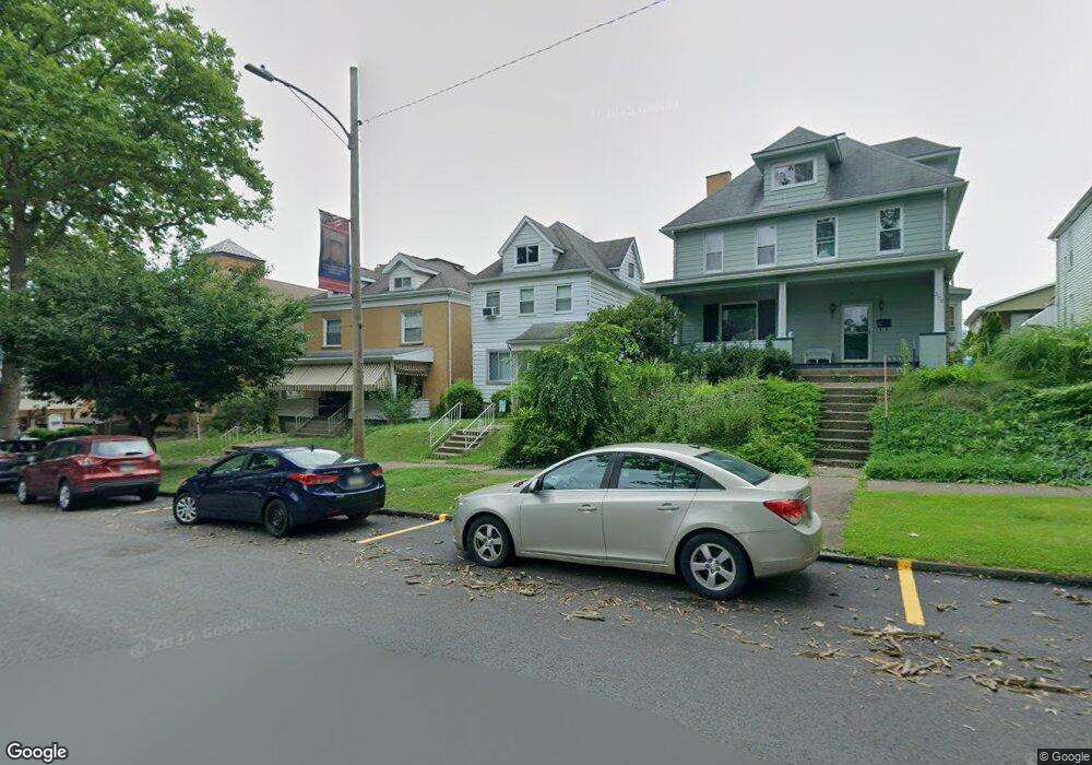
199 Washington Ave Vandergrift, PA 15690
Estimated Value: $75,730 - $144,000
--
Bed
--
Bath
--
Sq Ft
3,659
Sq Ft Lot
About This Home
This home is located at 199 Washington Ave, Vandergrift, PA 15690 and is currently estimated at $108,433. 199 Washington Ave is a home located in Westmoreland County with nearby schools including Kiski Area High School.
Ownership History
Date
Name
Owned For
Owner Type
Purchase Details
Closed on
Mar 6, 2007
Sold by
The Cit Group Consumer Finance Inc
Bought by
Zornow Joseph F and Zornow Jill L
Current Estimated Value
Home Financials for this Owner
Home Financials are based on the most recent Mortgage that was taken out on this home.
Original Mortgage
$45,600
Outstanding Balance
$27,661
Interest Rate
6.3%
Mortgage Type
Purchase Money Mortgage
Estimated Equity
$80,772
Purchase Details
Closed on
Nov 2, 2006
Sold by
Frayer Rebecca
Bought by
The Cit Group Consumer Finance Inc
Create a Home Valuation Report for This Property
The Home Valuation Report is an in-depth analysis detailing your home's value as well as a comparison with similar homes in the area
Home Values in the Area
Average Home Value in this Area
Purchase History
| Date | Buyer | Sale Price | Title Company |
|---|---|---|---|
| Zornow Joseph F | $48,050 | None Available | |
| The Cit Group Consumer Finance Inc | -- | None Available |
Source: Public Records
Mortgage History
| Date | Status | Borrower | Loan Amount |
|---|---|---|---|
| Open | Zornow Joseph F | $45,600 |
Source: Public Records
Tax History Compared to Growth
Tax History
| Year | Tax Paid | Tax Assessment Tax Assessment Total Assessment is a certain percentage of the fair market value that is determined by local assessors to be the total taxable value of land and additions on the property. | Land | Improvement |
|---|---|---|---|---|
| 2025 | $1,893 | $11,600 | $2,640 | $8,960 |
| 2024 | $1,803 | $11,600 | $2,640 | $8,960 |
| 2023 | $1,660 | $11,600 | $2,640 | $8,960 |
| 2022 | $1,625 | $11,600 | $2,640 | $8,960 |
| 2021 | $1,625 | $11,600 | $2,640 | $8,960 |
| 2020 | $1,621 | $11,600 | $2,640 | $8,960 |
| 2019 | $1,615 | $11,600 | $2,640 | $8,960 |
| 2018 | $1,592 | $11,600 | $2,640 | $8,960 |
| 2017 | $1,558 | $11,600 | $2,640 | $8,960 |
| 2016 | $1,536 | $11,600 | $2,640 | $8,960 |
| 2015 | $1,536 | $11,600 | $2,640 | $8,960 |
| 2014 | $1,529 | $11,600 | $2,640 | $8,960 |
Source: Public Records
Map
Nearby Homes
- 154 Jefferson Ave Unit 6
- 325 -1/2 Quay St
- 219 Quay St
- 121 Hamilton Ave
- 419 Vandergrift Ln
- 404 1/2 Franklin Ave
- 112 Farragut Ave Unit 3
- 107 Sumner Ave
- 137 Sherman Ave
- 133 Sherman Ave
- 129 Franklin Ave
- 608 Kennedy Ave
- 716 Kennedy Ave
- 311 Elm St
- 314 Linden St
- 315 Spruce St
- 1252 Jefferson St
- 1116 Grant St
- 323 Sycamore St
- 2106 River Rd
- 203 Washington Ave
- 207 Washington Ave Unit 11
- 209 Washington Ave
- 162 1/2 Grant Ave
- 211 Washington Ave
- 164 Grant Ave
- 213 Washington Ave
- 166 Grant Ave
- 162 Grant Ave
- 183 Columbia Ave
- 160 Grant Ave
- 170 Grant Ave
- 172 Grant Ave
- 215 Washington Ave
- 158 Grant Ave Unit 11
- 174 Grant Ave
- 156 Grant Ave
- 196 Washington Ave
- 196 Washington Ave Unit B10
- 217 Washington Ave