Estimated Value: $486,000 - $605,000
2
Beds
3
Baths
1,812
Sq Ft
$307/Sq Ft
Est. Value
About This Home
This home is located at 199 Wauwinet Rd, Barre, MA 01005 and is currently estimated at $556,416, approximately $307 per square foot. 199 Wauwinet Rd is a home located in Worcester County with nearby schools including Quabbin Regional Middle School and Quabbin Regional High School.
Ownership History
Date
Name
Owned For
Owner Type
Purchase Details
Closed on
Oct 28, 2021
Sold by
Robinson Timothy R
Bought by
Glidden Erin L and Glidden Zebulon R
Current Estimated Value
Home Financials for this Owner
Home Financials are based on the most recent Mortgage that was taken out on this home.
Original Mortgage
$337,500
Outstanding Balance
$307,100
Interest Rate
2.8%
Mortgage Type
Purchase Money Mortgage
Estimated Equity
$249,316
Purchase Details
Closed on
Jul 6, 2005
Sold by
Regienus B Peter
Bought by
Robinson Timothy B
Home Financials for this Owner
Home Financials are based on the most recent Mortgage that was taken out on this home.
Original Mortgage
$300,000
Interest Rate
5.71%
Mortgage Type
Purchase Money Mortgage
Create a Home Valuation Report for This Property
The Home Valuation Report is an in-depth analysis detailing your home's value as well as a comparison with similar homes in the area
Home Values in the Area
Average Home Value in this Area
Purchase History
| Date | Buyer | Sale Price | Title Company |
|---|---|---|---|
| Glidden Erin L | $487,500 | None Available | |
| Glidden Erin L | $487,500 | None Available | |
| Robinson Timothy B | $190,000 | -- | |
| Robinson Timothy B | $190,000 | -- |
Source: Public Records
Mortgage History
| Date | Status | Borrower | Loan Amount |
|---|---|---|---|
| Open | Glidden Erin L | $337,500 | |
| Closed | Glidden Erin L | $337,500 | |
| Previous Owner | Robinson Timothy B | $189,359 | |
| Previous Owner | Robinson Timothy B | $300,000 |
Source: Public Records
Tax History Compared to Growth
Tax History
| Year | Tax Paid | Tax Assessment Tax Assessment Total Assessment is a certain percentage of the fair market value that is determined by local assessors to be the total taxable value of land and additions on the property. | Land | Improvement |
|---|---|---|---|---|
| 2025 | $7,379 | $543,000 | $73,200 | $469,800 |
| 2024 | $7,271 | $520,100 | $68,700 | $451,400 |
| 2023 | $7,107 | $448,100 | $56,700 | $391,400 |
| 2022 | $6,928 | $411,400 | $50,300 | $361,100 |
| 2021 | $6,732 | $374,000 | $50,300 | $323,700 |
| 2020 | $6,598 | $369,200 | $50,300 | $318,900 |
| 2019 | $7,719 | $426,000 | $105,200 | $320,800 |
| 2018 | $6,178 | $394,500 | $105,200 | $289,300 |
| 2017 | $7,130 | $381,300 | $105,200 | $276,100 |
| 2016 | $6,565 | $368,800 | $95,300 | $273,500 |
| 2015 | $6,701 | $359,500 | $99,100 | $260,400 |
| 2014 | $5,674 | $353,300 | $101,800 | $251,500 |
Source: Public Records
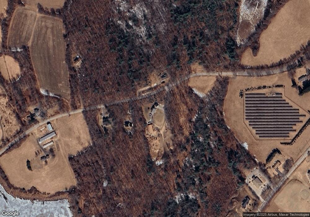
Map
Nearby Homes
- 223 Wauwinet Rd
- 291 Wauwinet Rd
- 249 Wauwinet Rd
- 200 Wauwinet Rd
- 274 Wauwinet Rd
- 331 Wauwinet Rd
- 326 Wauwinet Rd Unit 332
- 542 South St
- 522 South St
- 522 South St Unit A
- 492 South St
- 332 Wauwinet Rd
- 85 Wauwinet Rd
- 406 South St
- 81 School St N
- Lots 1 & 2 Cut-Off Rd
- 358 South St
- 471 Wauwinet Rd
- 14 Wauwinet Rd
- 363 South St