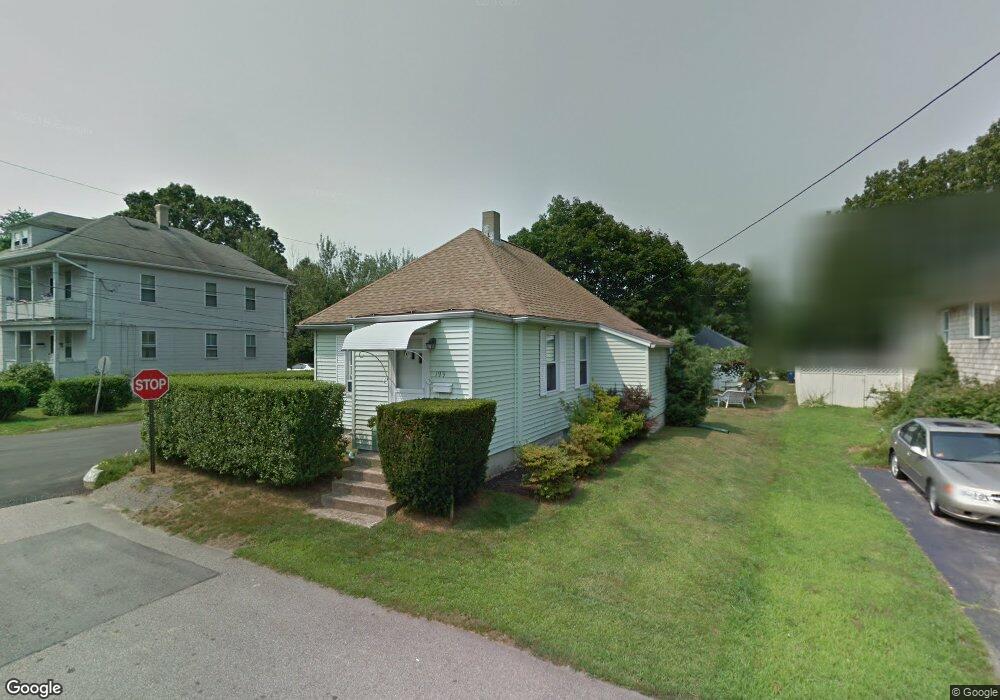
199 Welfare Ave Warwick, RI 02888
Norwood NeighborhoodEstimated Value: $323,000 - $332,000
2
Beds
1
Bath
690
Sq Ft
$476/Sq Ft
Est. Value
About This Home
This home is located at 199 Welfare Ave, Warwick, RI 02888 and is currently estimated at $328,730, approximately $476 per square foot. 199 Welfare Ave is a home located in Kent County with nearby schools including St. Peter School and Saint Paul School.
Ownership History
Date
Name
Owned For
Owner Type
Purchase Details
Closed on
Mar 8, 2007
Sold by
Dwyer John F
Bought by
Tiernan Virginia M
Current Estimated Value
Home Financials for this Owner
Home Financials are based on the most recent Mortgage that was taken out on this home.
Original Mortgage
$16,000
Interest Rate
6.3%
Purchase Details
Closed on
May 17, 1996
Sold by
Russo William A
Bought by
Oliveira Robert J and Oliveira Sandra
Create a Home Valuation Report for This Property
The Home Valuation Report is an in-depth analysis detailing your home's value as well as a comparison with similar homes in the area
Home Values in the Area
Average Home Value in this Area
Purchase History
| Date | Buyer | Sale Price | Title Company |
|---|---|---|---|
| Tiernan Virginia M | $160,000 | -- | |
| Oliveira Robert J | $60,000 | -- |
Source: Public Records
Mortgage History
| Date | Status | Borrower | Loan Amount |
|---|---|---|---|
| Open | Oliveira Robert J | $25,000 | |
| Closed | Oliveira Robert J | $16,000 | |
| Open | Oliveira Robert J | $128,000 | |
| Previous Owner | Oliveira Robert J | $25,000 |
Source: Public Records
Tax History
| Year | Tax Paid | Tax Assessment Tax Assessment Total Assessment is a certain percentage of the fair market value that is determined by local assessors to be the total taxable value of land and additions on the property. | Land | Improvement |
|---|---|---|---|---|
| 2025 | $3,437 | $270,600 | $98,400 | $172,200 |
| 2024 | $3,279 | $226,600 | $84,900 | $141,700 |
| 2023 | $3,215 | $226,600 | $84,900 | $141,700 |
| 2022 | $3,025 | $161,500 | $54,200 | $107,300 |
| 2021 | $3,025 | $161,500 | $54,200 | $107,300 |
| 2020 | $3,025 | $161,500 | $54,200 | $107,300 |
| 2019 | $3,025 | $161,500 | $54,200 | $107,300 |
| 2018 | $2,475 | $119,000 | $53,800 | $65,200 |
| 2017 | $2,409 | $119,000 | $53,800 | $65,200 |
| 2016 | $2,409 | $119,000 | $53,800 | $65,200 |
| 2015 | $2,363 | $113,900 | $52,400 | $61,500 |
| 2014 | $2,285 | $113,900 | $52,400 | $61,500 |
| 2013 | $2,254 | $113,900 | $52,400 | $61,500 |
Source: Public Records
Map
Nearby Homes
- 1052 Post Rd
- 175 Pettaconsett Ave
- 35 Welfare Ave
- 22 Phillips Ave
- 346 Chestnut St
- 228 3rd Ave
- 123 Harrington Ave
- 0 Elmwood Ave
- 95 Nolbeth Dr
- 80 George St
- 821 Post Rd
- 136 Sherwood Ave
- 127 Sherwood Ave
- 111 Sherwood Ave
- 171 Sherwood Ave
- 15 Palm Blvd N
- 39 Holiday Ave
- 15 Christopher Rhodes Way
- 6 Christopher Rhodes Way
- 63 Benbridge Ave
- 191 Welfare Ave
- 207 Welfare Ave
- 196 Welfare Ave
- 210 Welfare Ave
- 185 Welfare Ave
- 186 Welfare Ave
- 179 Welfare Ave
- 218 Welfare Ave
- 65 Majestic Ave
- 0 Boccia Ct Unit 1385203
- 221 Welfare Ave
- 77 Majestic Ave
- 173 Welfare Ave
- 57 Majestic Ave
- 178 Welfare Ave
- 21 Boccia Ct
- 85 Majestic Ave
- 227 Welfare Ave
- 224 Welfare Ave
- 51 Majestic Ave
Your Personal Tour Guide
Ask me questions while you tour the home.