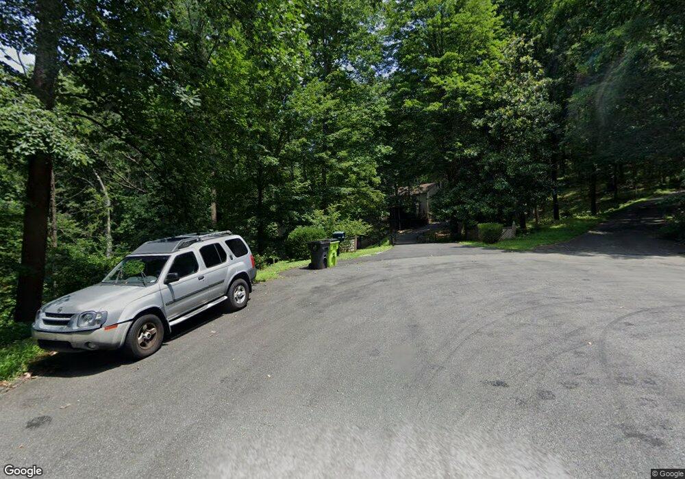
1990 Franklin Dr Charlottesville, VA 22911
Estimated Value: $492,000 - $587,000
3
Beds
3
Baths
1,560
Sq Ft
$345/Sq Ft
Est. Value
About This Home
This home is located at 1990 Franklin Dr, Charlottesville, VA 22911 and is currently estimated at $537,860, approximately $344 per square foot. 1990 Franklin Dr is a home located in Albemarle County with nearby schools including Stony Point Elementary School, Jackson P. Burley Middle School, and Monticello High School.
Ownership History
Date
Name
Owned For
Owner Type
Purchase Details
Closed on
Feb 8, 2022
Sold by
Johan Baker Alan and Johan Sherry
Bought by
Massie John and Massie Elizabeth
Current Estimated Value
Home Financials for this Owner
Home Financials are based on the most recent Mortgage that was taken out on this home.
Original Mortgage
$300,000
Outstanding Balance
$278,573
Interest Rate
3.55%
Mortgage Type
New Conventional
Estimated Equity
$259,287
Purchase Details
Closed on
Oct 21, 2019
Sold by
Reed Christopher Matthew and Reed Mark Adams
Bought by
Baker Thomas Alan Johan and Martin Sherry
Home Financials for this Owner
Home Financials are based on the most recent Mortgage that was taken out on this home.
Original Mortgage
$248,000
Interest Rate
3.7%
Mortgage Type
New Conventional
Purchase Details
Closed on
Jun 28, 2018
Sold by
Reed Claude A
Bought by
Reed Christopher Matthew and Buckhout Michelle Reed
Create a Home Valuation Report for This Property
The Home Valuation Report is an in-depth analysis detailing your home's value as well as a comparison with similar homes in the area
Home Values in the Area
Average Home Value in this Area
Purchase History
| Date | Buyer | Sale Price | Title Company |
|---|---|---|---|
| Massie John | $336,600 | Chicago Title | |
| Baker Thomas Alan Johan | $296,200 | Chicago Title Insurance Co | |
| Reed Christopher Matthew | -- | None Available |
Source: Public Records
Mortgage History
| Date | Status | Borrower | Loan Amount |
|---|---|---|---|
| Open | Massie John | $300,000 | |
| Previous Owner | Baker Thomas Alan Johan | $248,000 |
Source: Public Records
Tax History Compared to Growth
Tax History
| Year | Tax Paid | Tax Assessment Tax Assessment Total Assessment is a certain percentage of the fair market value that is determined by local assessors to be the total taxable value of land and additions on the property. | Land | Improvement |
|---|---|---|---|---|
| 2025 | $4,356 | $487,300 | $183,700 | $303,600 |
| 2024 | $3,747 | $438,700 | $165,800 | $272,900 |
| 2023 | $3,536 | $414,100 | $142,500 | $271,600 |
| 2022 | $2,875 | $336,600 | $135,900 | $200,700 |
| 2021 | $2,615 | $306,200 | $135,900 | $170,300 |
| 2020 | $2,553 | $298,900 | $135,900 | $163,000 |
| 2019 | $2,530 | $296,200 | $141,300 | $154,900 |
| 2018 | $2,474 | $292,500 | $141,300 | $151,200 |
| 2017 | $2,494 | $297,300 | $141,300 | $156,000 |
| 2016 | $2,319 | $276,400 | $141,300 | $135,100 |
| 2015 | $1,117 | $272,800 | $141,300 | $131,500 |
| 2014 | -- | $271,100 | $141,300 | $129,800 |
Source: Public Records
Map
Nearby Homes
- 0 Hyland Ridge Dr Unit 665843
- 0 Hyland Ridge Dr Unit R2
- 2282 Hyland Ridge Dr
- 1749 Hyland Creek Cir
- 1769 Franklin Dr
- 2109 Aspen Dr
- 710 Boulder Hill Ln
- 2465 Summit Ridge Trail
- 92 Key Dr W
- 905 Flat Waters Ln
- 2515 Summit Ridge Trail
- 161 Summit Ridge Trail
- 515 Lego Dr
- 1856 Marietta Dr
- 2556 Summit Ridge Trail
- 1084 Delphi Ln
- 1880 N Pantops Dr
- 1990 Franklin Dr
- 1999 Franklin Dr
- 1966 Franklin Dr
- 1975 Franklin Dr
- 1955 Franklin Dr
- 1935 Franklin Dr
- 1930 Franklin Dr
- 1733 Stony Point Rd
- 1900 Franklin Dr
- 1919 Franklin Dr
- 1905 Franklin Dr
- 1888 Franklin Dr
- 2398 Summit Ridge Trail
- 2379 Summit Ridge Trail
- 2376 Summit Ridge Trail
- 805 Ashcroft Cir
- 1881 Franklin Dr
- 1850 Franklin Dr
- 1859 Stony Point Rd
- 2388 Summit Ridge Trail
