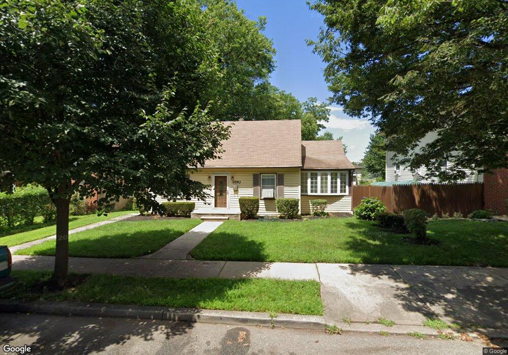
1990 Lufberry St Rahway, NJ 07065
Estimated Value: $410,804 - $577,000
--
Bed
--
Bath
1,352
Sq Ft
$369/Sq Ft
Est. Value
About This Home
This home is located at 1990 Lufberry St, Rahway, NJ 07065 and is currently estimated at $499,451, approximately $369 per square foot. 1990 Lufberry St is a home located in Union County with nearby schools including Rahway High School and Mother Seton Regional High School.
Ownership History
Date
Name
Owned For
Owner Type
Purchase Details
Closed on
Dec 20, 2001
Sold by
Carter Edith
Bought by
Carter Gregory
Current Estimated Value
Home Financials for this Owner
Home Financials are based on the most recent Mortgage that was taken out on this home.
Original Mortgage
$143,650
Outstanding Balance
$58,253
Interest Rate
7.08%
Mortgage Type
FHA
Estimated Equity
$441,198
Purchase Details
Closed on
Jun 29, 1999
Sold by
Mackow Adam A and Mackow Adam W
Bought by
Carter Gregory and Carter Edith
Home Financials for this Owner
Home Financials are based on the most recent Mortgage that was taken out on this home.
Original Mortgage
$131,912
Interest Rate
7.19%
Mortgage Type
FHA
Create a Home Valuation Report for This Property
The Home Valuation Report is an in-depth analysis detailing your home's value as well as a comparison with similar homes in the area
Home Values in the Area
Average Home Value in this Area
Purchase History
| Date | Buyer | Sale Price | Title Company |
|---|---|---|---|
| Carter Gregory | -- | -- | |
| Carter Gregory | $133,000 | -- |
Source: Public Records
Mortgage History
| Date | Status | Borrower | Loan Amount |
|---|---|---|---|
| Open | Carter Gregory | $143,650 | |
| Closed | Carter Gregory | $131,912 |
Source: Public Records
Tax History Compared to Growth
Tax History
| Year | Tax Paid | Tax Assessment Tax Assessment Total Assessment is a certain percentage of the fair market value that is determined by local assessors to be the total taxable value of land and additions on the property. | Land | Improvement |
|---|---|---|---|---|
| 2025 | $7,175 | $96,900 | $44,900 | $52,000 |
| 2024 | $6,950 | $96,900 | $44,900 | $52,000 |
| 2023 | $6,950 | $96,900 | $44,900 | $52,000 |
| 2022 | $6,804 | $96,900 | $44,900 | $52,000 |
| 2021 | $6,736 | $96,900 | $44,900 | $52,000 |
| 2020 | $6,710 | $96,900 | $44,900 | $52,000 |
| 2019 | $6,625 | $96,900 | $44,900 | $52,000 |
| 2018 | $6,486 | $96,900 | $44,900 | $52,000 |
| 2017 | $6,326 | $96,900 | $44,900 | $52,000 |
| 2016 | $6,191 | $96,900 | $44,900 | $52,000 |
| 2015 | $6,121 | $96,900 | $44,900 | $52,000 |
| 2014 | $6,012 | $96,900 | $44,900 | $52,000 |
Source: Public Records
Map
Nearby Homes
- 1860 Paterson St
- 36 E Grand Ave Unit 26
- 1727 Essex St Unit 604
- 566 E Milton Ave Unit 1
- 716 E Grand Ave Unit 4
- 716 E Grand Ave Unit 18
- 1922 Barnett St Unit 24
- 2046 Barnett St
- 2277 Price St
- 244 W Scott Ave
- 272 Egolf Dr
- 1811 W Price St
- 173 W Main St Unit 7
- 1435 Barnhardt Ln Unit 604
- 193 Donald Ave
- 211 Bradford Ave
- 1 Carriage City Plaza Unit 1502
- 1 Carriage City Plaza Unit 503
- 1 Carriage City Plaza Unit 1212
- 1 Carriage City Plaza Unit 711
- 1980 Lufberry St
- 2000 Lufberry St
- 1970 Lufberry St
- 2012 Lufberry St
- 1991 Bond St
- 1981 Bond St
- 1962 Lufberry St
- 2005 Bond St
- 323 E Scott Ave
- 1973 Bond St
- 2024 Lufberry St
- 317 E Scott Ave
- 1963 Bond St
- 309 E Scott Ave
- 1954 Lufberry St
- 1959 Bond St
- 2013 Lufberry St
- 1987 Lufberry St
- 1981 Lufberry St
- 297 E Scott Ave