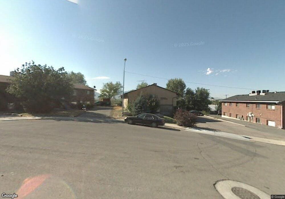
1990 Nevada Cir Provo, UT 84606
Provost NeighborhoodEstimated Value: $296,000 - $344,000
3
Beds
1
Bath
1,437
Sq Ft
$223/Sq Ft
Est. Value
About This Home
This home is located at 1990 Nevada Cir, Provo, UT 84606 and is currently estimated at $320,557, approximately $223 per square foot. 1990 Nevada Cir is a home located in Utah County with nearby schools including Spring Creek Elementary School, Centennial Middle School, and Timpview High School.
Ownership History
Date
Name
Owned For
Owner Type
Purchase Details
Closed on
Apr 22, 2004
Sold by
Evans Woodrow Eschler and Evans Beth Anderson Whitaker
Bought by
Bauman John A and Bauman Lynda D
Current Estimated Value
Home Financials for this Owner
Home Financials are based on the most recent Mortgage that was taken out on this home.
Original Mortgage
$58,800
Interest Rate
5.39%
Mortgage Type
Credit Line Revolving
Create a Home Valuation Report for This Property
The Home Valuation Report is an in-depth analysis detailing your home's value as well as a comparison with similar homes in the area
Home Values in the Area
Average Home Value in this Area
Purchase History
| Date | Buyer | Sale Price | Title Company |
|---|---|---|---|
| Bauman John A | -- | Utah First Title Insurance |
Source: Public Records
Mortgage History
| Date | Status | Borrower | Loan Amount |
|---|---|---|---|
| Closed | Bauman John A | $58,800 |
Source: Public Records
Tax History
| Year | Tax Paid | Tax Assessment Tax Assessment Total Assessment is a certain percentage of the fair market value that is determined by local assessors to be the total taxable value of land and additions on the property. | Land | Improvement |
|---|---|---|---|---|
| 2025 | $371 | $167,420 | -- | -- |
| 2024 | $371 | $163,240 | $0 | $0 |
| 2023 | $1,435 | $139,205 | $0 | $0 |
| 2022 | $1,125 | $110,055 | $0 | $0 |
| 2021 | $946 | $161,400 | $19,400 | $142,000 |
| 2020 | $933 | $149,200 | $17,900 | $131,300 |
| 2019 | $811 | $135,000 | $15,000 | $120,000 |
| 2018 | $741 | $125,000 | $15,000 | $110,000 |
| 2017 | $644 | $59,675 | $0 | $0 |
| 2016 | $628 | $54,230 | $0 | $0 |
| 2015 | $597 | $52,140 | $0 | $0 |
| 2014 | $498 | $45,375 | $0 | $0 |
Source: Public Records
Map
Nearby Homes
- 2030 Nevada Cir
- 2048 S Nevada Ave
- 2044 S Nevada Ave
- 2066 California Ave
- 2176 Mountain Vista Ln
- 2103 Mountain Vista Ln
- 2353 Alaska Ave
- 1778 S Buckley Ln
- 1353 E 1640 S Unit H101
- 1353 E 1640 S Unit H103
- 1225 E 1600 South St Unit 12
- 1225 E 1600 South St Unit 4
- 1402 S 1470 E
- 1261 E 1500 S
- 1347 S 1370 E
- 1482 E 1280 S
- 104 765 East 560 N Unit 104
- 2400 S State E Unit 2
- 693 N 1540 E Unit 304
- 2400 S State E Unit 3
- 1990 Nevada Cir
- 1990 Nevada Cir
- 1990 Nevada Cir
- 1990 Nevada Cir Unit 2
- 1990 Nevada Cir Unit 3
- 2016 Nevada Cir
- 1990 Nevada Cir
- 2183 Nevada Ave
- 2005 Nevada Cir
- 2225 S State St
- 2201 Nevada Ave
- 2201 S Nevada Ave
- 2013 Nevada Cir
- 2007 Nevada Cir
- 1983 Nevada Cir
- 2149 S Nevada Ave
- 2255 S State St
- 2144 Dakota Ave
- 2190 Nevada Ave
- 2156 Dakota Ave
Your Personal Tour Guide
Ask me questions while you tour the home.