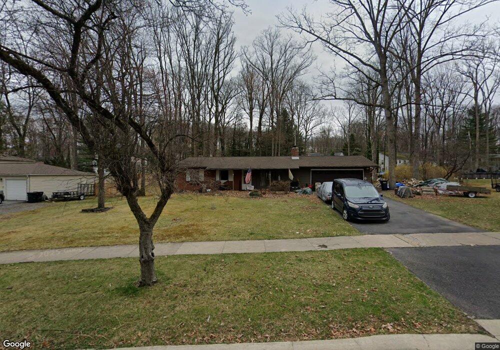
1990 Park Forest Ave State College, PA 16803
Patton NeighborhoodEstimated Value: $340,986 - $373,000
3
Beds
2
Baths
1,189
Sq Ft
$295/Sq Ft
Est. Value
About This Home
This home is located at 1990 Park Forest Ave, State College, PA 16803 and is currently estimated at $351,247, approximately $295 per square foot. 1990 Park Forest Ave is a home located in Centre County with nearby schools including Park Forest Elementary School, Park Forest Middle School, and State College Area High School.
Ownership History
Date
Name
Owned For
Owner Type
Purchase Details
Closed on
Sep 21, 2005
Sold by
Brinker Daniel T and Brinker Laura J
Bought by
Hershberger Dale E and Hershberger Jackie M
Current Estimated Value
Home Financials for this Owner
Home Financials are based on the most recent Mortgage that was taken out on this home.
Original Mortgage
$105,655
Outstanding Balance
$56,490
Interest Rate
5.84%
Mortgage Type
Fannie Mae Freddie Mac
Estimated Equity
$294,757
Create a Home Valuation Report for This Property
The Home Valuation Report is an in-depth analysis detailing your home's value as well as a comparison with similar homes in the area
Home Values in the Area
Average Home Value in this Area
Purchase History
| Date | Buyer | Sale Price | Title Company |
|---|---|---|---|
| Hershberger Dale E | $184,900 | -- |
Source: Public Records
Mortgage History
| Date | Status | Borrower | Loan Amount |
|---|---|---|---|
| Open | Hershberger Dale E | $105,655 |
Source: Public Records
Tax History Compared to Growth
Tax History
| Year | Tax Paid | Tax Assessment Tax Assessment Total Assessment is a certain percentage of the fair market value that is determined by local assessors to be the total taxable value of land and additions on the property. | Land | Improvement |
|---|---|---|---|---|
| 2025 | $3,844 | $55,180 | $18,410 | $36,770 |
| 2024 | $3,586 | $55,180 | $18,410 | $36,770 |
| 2023 | $3,586 | $55,180 | $18,410 | $36,770 |
| 2022 | $3,500 | $55,180 | $18,410 | $36,770 |
| 2021 | $3,500 | $55,180 | $18,410 | $36,770 |
| 2020 | $3,500 | $55,180 | $18,410 | $36,770 |
| 2019 | $2,434 | $55,180 | $18,410 | $36,770 |
| 2018 | $3,393 | $55,180 | $18,410 | $36,770 |
| 2017 | $3,356 | $55,180 | $18,410 | $36,770 |
| 2016 | -- | $55,180 | $18,410 | $36,770 |
| 2015 | -- | $55,180 | $18,410 | $36,770 |
| 2014 | -- | $55,180 | $18,410 | $36,770 |
Source: Public Records
Map
Nearby Homes
- 1952 Highland Dr
- 656 Severn Dr
- 291 Oakley Dr
- 613 Wiltshire Dr
- 690 Wiltshire Dr
- 1121 W Aaron Dr Unit C
- 144 Kenley Ct Unit 144
- 1635 Princeton Dr
- 169 Sandy Ridge Rd
- 2074 Mary Ellen Ln
- 2565 Carnegie Dr
- 1918 Weaver St Unit 1
- 1832 Waddle Rd
- 2292 Oak Leaf Dr
- 163 Rushcliffe St
- 159 Bolton Ave
- 257 Oakwood Ave
- 1321 Deerfield Dr
- 658 -A Oakwood Ave
- 652 B Oakwood Ave
- 2011 Highland Dr
- 1999 Highland Dr
- 1978 Park Forest Ave
- 2017 Highland Dr
- 1993 Highland Dr
- 1989 Park Forest Ave
- 2023 Highland Dr
- 2008 Park Forest Ave
- 1987 Highland Dr
- 1983 Park Forest Ave
- 1972 Park Forest Ave
- 2001 Park Forest Ave
- 2029 Highland Dr
- 1977 Park Forest Ave
- 1981 Highland Dr
- 2035 Highland Dr
- 1975 Highland Dr
- 1966 Park Forest Ave
- 2007 Park Forest Ave