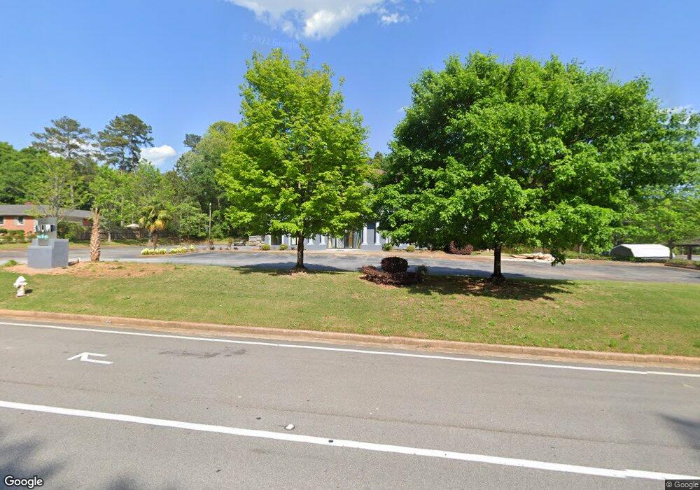
1990 Parker Rd SE Conyers, GA 30094
Estimated Value: $824,279
--
Bed
--
Bath
6,272
Sq Ft
$131/Sq Ft
Est. Value
About This Home
This home is located at 1990 Parker Rd SE, Conyers, GA 30094 and is currently priced at $824,279, approximately $131 per square foot. 1990 Parker Rd SE is a home located in Rockdale County with nearby schools including Sims Elementary School, Edwards Middle School, and Rockdale County High School.
Ownership History
Date
Name
Owned For
Owner Type
Purchase Details
Closed on
Aug 31, 2021
Sold by
Parker Road Leasing Llc
Bought by
Platinum Beauty Bar Adn Spa Llc
Current Estimated Value
Home Financials for this Owner
Home Financials are based on the most recent Mortgage that was taken out on this home.
Original Mortgage
$1,130,200
Outstanding Balance
$990,753
Interest Rate
2.7%
Mortgage Type
Commercial
Purchase Details
Closed on
Sep 28, 2007
Sold by
Rlm Trust
Bought by
Parker Road Leasing Llc
Purchase Details
Closed on
Jul 16, 2007
Sold by
Schubert Properties Llc
Bought by
Rlm Trust
Purchase Details
Closed on
Mar 6, 2007
Sold by
Travis Gary L and Travis Diana L
Bought by
Schubert Properties Llc
Create a Home Valuation Report for This Property
The Home Valuation Report is an in-depth analysis detailing your home's value as well as a comparison with similar homes in the area
Home Values in the Area
Average Home Value in this Area
Purchase History
| Date | Buyer | Sale Price | Title Company |
|---|---|---|---|
| Platinum Beauty Bar Adn Spa Llc | $675,000 | -- | |
| Parker Road Leasing Llc | -- | -- | |
| Rlm Trust | -- | -- | |
| Schubert Properties Llc | $601,000 | -- |
Source: Public Records
Mortgage History
| Date | Status | Borrower | Loan Amount |
|---|---|---|---|
| Open | Platinum Beauty Bar Adn Spa Llc | $1,130,200 |
Source: Public Records
Tax History Compared to Growth
Tax History
| Year | Tax Paid | Tax Assessment Tax Assessment Total Assessment is a certain percentage of the fair market value that is determined by local assessors to be the total taxable value of land and additions on the property. | Land | Improvement |
|---|---|---|---|---|
| 2024 | $18,266 | $472,120 | $65,040 | $407,080 |
| 2023 | $18,616 | $469,040 | $49,240 | $419,800 |
| 2022 | $11,241 | $297,680 | $49,240 | $248,440 |
| 2021 | $7,906 | $186,000 | $39,834 | $146,166 |
| 2020 | $9,798 | $229,920 | $49,240 | $180,680 |
| 2019 | $6,285 | $140,000 | $35,630 | $104,370 |
| 2018 | $6,313 | $140,000 | $35,630 | $104,370 |
| 2017 | $7,507 | $164,960 | $49,240 | $115,720 |
| 2016 | $5,949 | $130,720 | $49,240 | $81,480 |
| 2015 | $5,956 | $130,720 | $49,240 | $81,480 |
| 2014 | -- | $183,400 | $49,240 | $81,480 |
| 2013 | -- | $205,040 | $87,960 | $117,080 |
Source: Public Records
Map
Nearby Homes
- 660 Kirkus Dr SE
- 1870 Parker Rd SE
- Astrid Plan at Alder Park
- Harrison Plan at Alder Park
- Baker Plan at Alder Park
- Oliver Plan at Alder Park
- 1701 Silver Summit Dr SE
- 1000 Silver Summit Dr SE
- 1502 Silver Summit Dr SE
- 1503 Silver Summit Dr SE Unit 1503
- 0 Georgia 20 Unit 10439576
- 2197 Boxwood Cir
- 1408 Aramore Dr SE
- 1242 Saxony Dr SE
- 1402 Aramore Dr SE
- 1911 Victoria Way Unit 117
- Boston Plan at Millers Pointe
- Atlanta Plan at Millers Pointe
- Columbus Plan at Millers Pointe
- 2862 Flat Shoals Rd SW
- 1967 Old Parker Rd SE
- 1966 Old Parker Rd SE
- 700 Kirkus Dr SE
- 1944 Parker Rd SE
- 1161 Highway 138 SW Unit O&I
- 1161 Highway 138 SW Unit C-1
- 1161 Highway 138 SW
- 0 Kirkus Dr SE Unit 3161872
- 0 NE Highway 138 Unit 10018048
- 690 Kirkus Dr SE
- 680 Kirkus Dr SE
- 2010 Weatherstone Cir SE
- 1 Highway 138 SE
- 670 Kirkus Dr SE
- 670 Kirkus Dr SE Unit 670 KIRKUS DR.
- 1160 Highway 138 SW
- 1886 Parker Rd SE
- 2021 Weatherstone Cir SE
- 2020 Weatherstone Cir SE Unit 1
- 651 Kirkus Dr SE