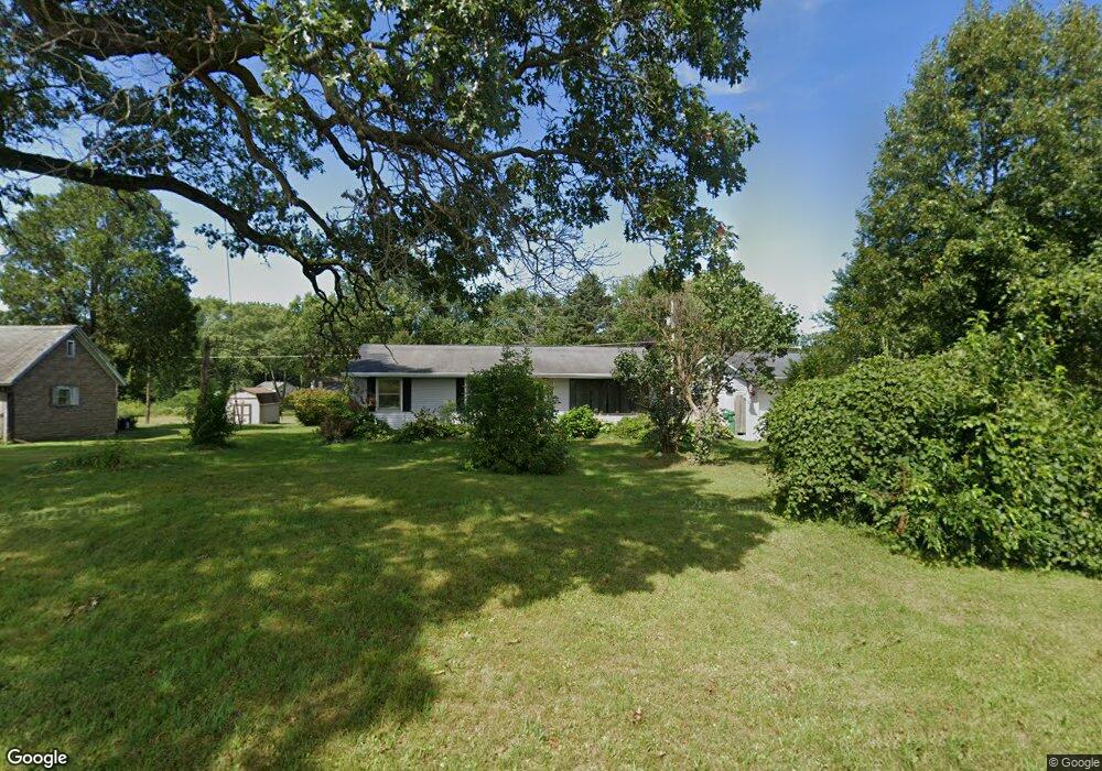
1990 Sage Rd Buchanan, MI 49107
Estimated Value: $181,000 - $299,000
4
Beds
2
Baths
1,150
Sq Ft
$215/Sq Ft
Est. Value
About This Home
This home is located at 1990 Sage Rd, Buchanan, MI 49107 and is currently estimated at $246,821, approximately $214 per square foot. 1990 Sage Rd is a home located in Berrien County with nearby schools including River Valley Middle/High School, Lutie High School, and Bethel Christian Academy.
Ownership History
Date
Name
Owned For
Owner Type
Purchase Details
Closed on
Jun 28, 2007
Sold by
Welsh Jennifer R and Welsh Brian A
Bought by
Welsh Brian A
Current Estimated Value
Home Financials for this Owner
Home Financials are based on the most recent Mortgage that was taken out on this home.
Original Mortgage
$110,000
Outstanding Balance
$68,897
Interest Rate
6.54%
Mortgage Type
New Conventional
Estimated Equity
$177,924
Purchase Details
Closed on
Mar 4, 1996
Purchase Details
Closed on
Jun 9, 1995
Purchase Details
Closed on
Apr 9, 1985
Purchase Details
Closed on
Dec 15, 1981
Create a Home Valuation Report for This Property
The Home Valuation Report is an in-depth analysis detailing your home's value as well as a comparison with similar homes in the area
Home Values in the Area
Average Home Value in this Area
Purchase History
| Date | Buyer | Sale Price | Title Company |
|---|---|---|---|
| Welsh Brian A | -- | None Available | |
| -- | $58,000 | -- | |
| -- | $47,500 | -- | |
| -- | $32,000 | -- | |
| -- | $37,500 | -- |
Source: Public Records
Mortgage History
| Date | Status | Borrower | Loan Amount |
|---|---|---|---|
| Open | Welsh Brian A | $110,000 |
Source: Public Records
Tax History Compared to Growth
Tax History
| Year | Tax Paid | Tax Assessment Tax Assessment Total Assessment is a certain percentage of the fair market value that is determined by local assessors to be the total taxable value of land and additions on the property. | Land | Improvement |
|---|---|---|---|---|
| 2025 | $1,337 | $96,000 | $0 | $0 |
| 2024 | $782 | $80,000 | $0 | $0 |
| 2023 | $745 | $70,700 | $0 | $0 |
| 2022 | $709 | $61,800 | $0 | $0 |
| 2021 | $1,240 | $59,500 | $13,400 | $46,100 |
| 2020 | $1,216 | $59,900 | $0 | $0 |
| 2019 | $1,194 | $49,800 | $12,100 | $37,700 |
| 2018 | $2,111 | $49,800 | $0 | $0 |
| 2017 | $1,211 | $50,500 | $0 | $0 |
| 2016 | $1,203 | $53,300 | $0 | $0 |
| 2015 | $958 | $53,100 | $0 | $0 |
| 2014 | $532 | $52,600 | $0 | $0 |
Source: Public Records
Map
Nearby Homes
- 5320 W US Highway 12
- 0 Us 12 W
- 4630 W US Highway 12
- 4935 Curran Rd
- 6460 E Galien Buchanan Rd
- 16091 Roe St
- 15973 Walnut St
- 15646 W Clear Lake Rd
- 000 W Clear Lake Rd
- 2934 W Front St
- 1936 E Clear Lake Rd
- Track 4 W Us 12 Hwy Trail
- 0 Mount Zion Rd
- 0 E Clear Lake Rd
- 15657 Lakeview Dr
- 6475 Olive Branch Rd
- 15326 Madron Lake Rd
- 347 Georgetown Colony
- 331 Charlestown Colony Unit 18
- 103 W Smith St
- 2010 Sage Rd
- 1980 Sage Rd
- 1970 Sage Rd
- 5370 W Us Highway 12
- 5350 W Us Highway 12
- 5380 W Us Highway 12
- 1950 Sage Rd
- 5390 W Us Highway 12
- 5390 W Us Highway 12
- 5345 W Us Highway 12
- 5310 W Us Highway 12
- 5310 W Us Highway 12
- 5410 W Us Highway 12
- 1995 Sage Rd
- 5315 W Us Highway 12
- 5325 W Us Highway 12
- 5395 W Us Highway 12
- 5395 W Us Highway 12
- 5375 W Us Highway 12
- 5375 U S 12