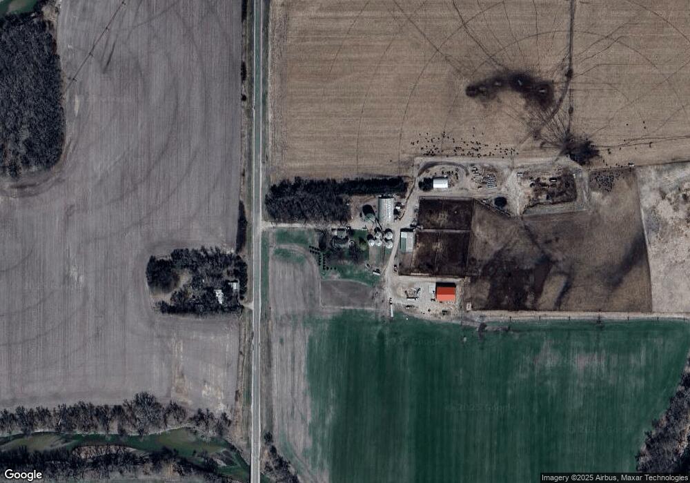
1990 State Highway 52 Cedar Rapids, NE 68627
Estimated Value: $180,000 - $376,900
5
Beds
3
Baths
3,076
Sq Ft
$77/Sq Ft
Est. Value
About This Home
This home is located at 1990 State Highway 52, Cedar Rapids, NE 68627 and is currently estimated at $237,225, approximately $77 per square foot. 1990 State Highway 52 is a home located in Boone County.
Create a Home Valuation Report for This Property
The Home Valuation Report is an in-depth analysis detailing your home's value as well as a comparison with similar homes in the area
Home Values in the Area
Average Home Value in this Area
Tax History Compared to Growth
Tax History
| Year | Tax Paid | Tax Assessment Tax Assessment Total Assessment is a certain percentage of the fair market value that is determined by local assessors to be the total taxable value of land and additions on the property. | Land | Improvement |
|---|---|---|---|---|
| 2025 | $1,138 | $257,600 | $25,385 | $232,215 |
| 2024 | $1,138 | $257,600 | $25,385 | $232,215 |
| 2023 | $1,888 | $246,060 | $25,385 | $220,675 |
| 2022 | $1,792 | $223,515 | $25,385 | $198,130 |
| 2021 | $1,415 | $177,375 | $25,385 | $151,990 |
| 2020 | $1,458 | $177,375 | $25,385 | $151,990 |
| 2019 | $1,405 | $177,375 | $25,385 | $151,990 |
| 2018 | $1,108 | $143,815 | $25,385 | $118,430 |
| 2017 | $850 | $124,305 | $16,640 | $107,665 |
| 2016 | $785 | $124,305 | $16,640 | $107,665 |
| 2015 | $920 | $124,305 | $16,640 | $107,665 |
| 2012 | $1,646 | $116,780 | $12,065 | $104,715 |
Source: Public Records
Map
Nearby Homes
- 3394 170th Ave
- 1997 State Highway 52
- 308 W Dayton St
- 304 W Dayton St
- 216 W Dayton St
- 312 W Dayton St
- 314 W Dayton St
- 316 W Dayton St
- 507 W Plum St
- 317 N 6th St
- 307 W Dayton St
- 207 W Dayton St
- 309 W Dayton St
- 111 N 3rd St
- 511 W Dayton St
- 511 W Plum St
- 612 W Plum St
- 315 W Dayton St
- 315 W Dayton St
- 502 W Dayton St