1990 Tee Dr Braselton, GA 30517
Estimated Value: $1,506,000 - $1,975,000
About This Home
This home is located at 1990 Tee Dr, Braselton, GA 30517 and is currently estimated at $1,699,158, approximately $281 per square foot. 1990 Tee Dr is a home located in Gwinnett County with nearby schools including Duncan Creek Elementary School, Frank N. Osborne Middle School, and Mill Creek High School.
Ownership History
We collect this data history from publicly available records. To have your information removed, we recommend requesting removal directly through your county’s website.
Purchase Details
Home Financials for this Owner
Home Financials are based on the most recent Mortgage that was taken out on this home.Purchase Details
Home Financials for this Owner
Home Financials are based on the most recent Mortgage that was taken out on this home.Purchase Details
Home Financials for this Owner
Home Financials are based on the most recent Mortgage that was taken out on this home.Home Values in the Area
Average Home Value in this Area
Purchase History
We collect this data history from publicly available records. To have your information removed, we recommend requesting removal directly through your county’s website.
| Date | Buyer | Sale Price | Title Company |
|---|---|---|---|
| $1,630,000 | -- | ||
| $1,131,600 | -- | ||
| $1,131,600 | -- | ||
| $200,000 | -- |
Mortgage History
We collect this data history from publicly available records. To have your information removed, we recommend requesting removal directly through your county’s website.
| Date | Status | Borrower | Loan Amount |
|---|---|---|---|
| Open | $1,100,000 | ||
| Previous Owner | $900,000 | ||
| Previous Owner | $204,000 | ||
| Previous Owner | $197,600 |
Tax History
We collect this data history from publicly available records. To have your information removed, we recommend requesting removal directly through your county’s website.
| Year | Tax Paid | Tax Assessment Tax Assessment Total Assessment is a certain percentage of the fair market value that is determined by local assessors to be the total taxable value of land and additions on the property. | Land | Improvement |
|---|---|---|---|---|
| 2025 | $18,542 | $682,520 | $171,600 | $510,920 |
| 2024 | $19,030 | $689,400 | $163,800 | $525,600 |
| 2023 | $19,030 | $419,160 | $83,400 | $335,760 |
| 2022 | $13,267 | $419,160 | $83,400 | $335,760 |
| 2021 | $11,496 | $419,160 | $83,400 | $335,760 |
| 2020 | $12,957 | $397,800 | $76,560 | $321,240 |
| 2019 | $12,922 | $397,800 | $76,560 | $321,240 |
| 2018 | $13,434 | $411,480 | $69,000 | $342,480 |
| 2016 | $13,420 | $411,480 | $69,000 | $342,480 |
| 2015 | $12,804 | $387,680 | $60,000 | $327,680 |
| 2014 | -- | $387,680 | $60,000 | $327,680 |
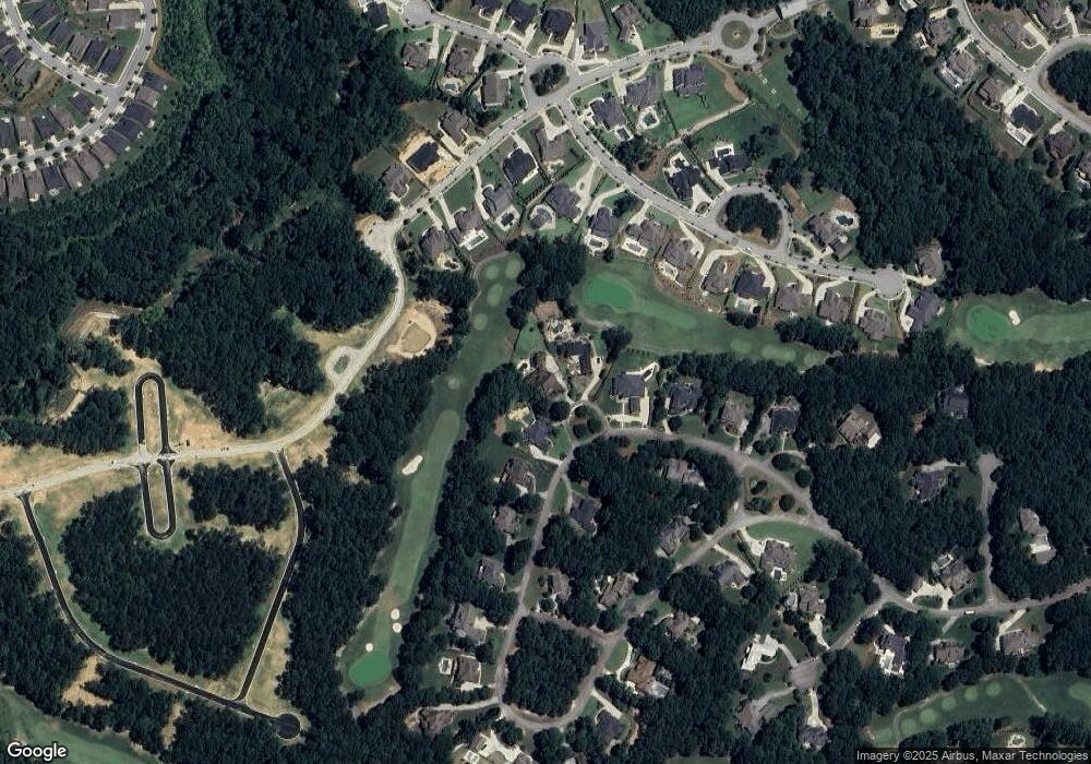
Map
- 1975 Tee Dr
- 2072 Covered Bridge Dr
- 1978 Forest View Way
- 5760 Lula Bridge Ct
- 5811 Yoshino Cherry Ln
- 2202 Crimson King Dr
- 5736 Cypress Bluff Ln
- 5921 Yoshino Cherry Ln
- 5713 Cypress Bluff Ln
- 5222 Legends Dr
- 2262 Crimson King Dr
- 2343 Northern Oak Dr
- 1894 Sam Snead Dr
- 2344 Northern Oak Dr
- 1905 Kathy Whitworth Dr
- 2583 Northern Oak Dr
- 1891 Sam Snead Dr
- 2279 Weeping Oak Dr
- 2082 Covered Bridge Dr
- 2604 Northern Oak Dr
- 1980 Tee Dr
- 2000 Tee Dr
- 2010 Tee Dr
- 1970 Tee Dr
- 1970 Tee Dr Unit 10
- 1960 Tee Dr
- 2020 Tee Dr
- 2067 Covered Bridge Dr
- 2025 Tee Dr
- 5823 Lula Bridge Ln
- 2077 Covered Bridge Dr
- 5813 Lula Bridge Ln
- 5833 Lula Bridge Ln
- 5843 Lula Bridge Ln
- 1855 Tee Dr
- 1955 Tee Dr Unit 25
- 2030 Tee Dr
- 1950 Tee Dr
- 5853 Lula Bridge Ln
- 2097 Covered Bridge Dr
Ask me questions while you tour the home.