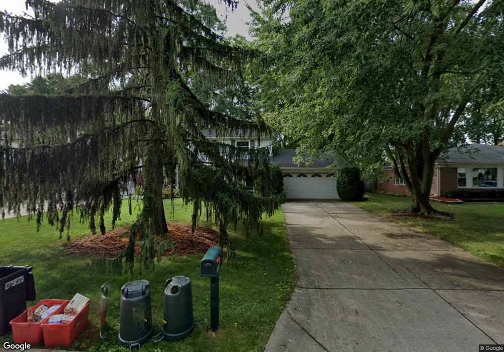
19905 Butternut Ln Southfield, MI 48076
Estimated Value: $347,520 - $391,000
4
Beds
3
Baths
1,800
Sq Ft
$207/Sq Ft
Est. Value
About This Home
This home is located at 19905 Butternut Ln, Southfield, MI 48076 and is currently estimated at $373,130, approximately $207 per square foot. 19905 Butternut Ln is a home located in Oakland County with nearby schools including Wylie E. Groves High School, Bingham Farms Elementary School, and Berkshire Middle School.
Ownership History
Date
Name
Owned For
Owner Type
Purchase Details
Closed on
Apr 29, 2024
Sold by
Krieger Michael A and Krieger Lisa Ann
Bought by
Krieger Michael A and Krieger Lisa Ann
Current Estimated Value
Purchase Details
Closed on
Apr 8, 2005
Sold by
Kamoo Ray and Heller Catherine
Bought by
Krieger Michael and Dunlap Lisa Ann
Home Financials for this Owner
Home Financials are based on the most recent Mortgage that was taken out on this home.
Original Mortgage
$48,980
Interest Rate
6.05%
Mortgage Type
Credit Line Revolving
Purchase Details
Closed on
Sep 5, 1995
Sold by
Wolock Steve M
Bought by
Kamoo Ray
Home Financials for this Owner
Home Financials are based on the most recent Mortgage that was taken out on this home.
Original Mortgage
$133,000
Interest Rate
7.78%
Mortgage Type
Purchase Money Mortgage
Create a Home Valuation Report for This Property
The Home Valuation Report is an in-depth analysis detailing your home's value as well as a comparison with similar homes in the area
Home Values in the Area
Average Home Value in this Area
Purchase History
| Date | Buyer | Sale Price | Title Company |
|---|---|---|---|
| Krieger Michael A | -- | None Listed On Document | |
| Krieger Michael | $244,900 | Lawyers Title Insurance Corp | |
| Kamoo Ray | $140,000 | -- |
Source: Public Records
Mortgage History
| Date | Status | Borrower | Loan Amount |
|---|---|---|---|
| Previous Owner | Krieger Michael | $48,980 | |
| Previous Owner | Kamoo Ray | $133,000 |
Source: Public Records
Tax History Compared to Growth
Tax History
| Year | Tax Paid | Tax Assessment Tax Assessment Total Assessment is a certain percentage of the fair market value that is determined by local assessors to be the total taxable value of land and additions on the property. | Land | Improvement |
|---|---|---|---|---|
| 2022 | $4,111 | $127,710 | $23,210 | $104,500 |
| 2021 | $3,586 | $117,040 | $23,210 | $93,830 |
| 2020 | $3,565 | $113,770 | $17,850 | $95,920 |
| 2018 | $3,434 | $86,950 | $17,850 | $69,100 |
| 2015 | -- | $70,770 | $0 | $0 |
| 2014 | -- | $57,160 | $0 | $0 |
| 2011 | -- | $58,870 | $0 | $0 |
Source: Public Records
Map
Nearby Homes
- 29662 Westbrook Pkwy
- 30130 Woodgate Dr
- 19601 W 12 Mile Rd Unit 102
- 29743 Chelmsford Rd
- 20141 Lacrosse Ave
- 29807 Spring Hill Dr
- 29484 Spring Hill Dr
- 19245 Eldridge Ln
- 29140 Candlewood Ln
- 20351 Lacrosse Ave
- 29214 Candlewood Ln
- 29848 Rambling Rd
- 28450 Tapert Dr
- 29585 Woodhaven Ln
- 21650 W 11 Mile Rd
- 20120 Covington Pkwy
- 29239 Somerset Dr
- 30301 Spring River Dr
- 19710 W 13 Mile Rd Unit 201
- 19710 W 13 Mile Rd Unit 108
- 19935 Butternut Ln
- 19875 Butternut Ln
- 19900 Northbrook Dr
- 19845 Butternut Ln
- 19965 Butternut Ln Unit Bldg-Unit
- 19965 Butternut Ln
- 19870 Northbrook Dr
- 19930 Northbrook Dr
- 19815 Butternut Ln
- 19840 Northbrook Dr
- 19900 Butternut Ln
- 19960 Northbrook Dr
- 19870 Butternut Ln
- 19930 Butternut Ln
- 19840 Butternut Ln
- 19960 Butternut Ln
- 19780 Northbrook Dr
- 19785 Butternut Ln
- 19810 Butternut Ln
- 19901 Northbrook Dr