19905 SE Ka de Ct Damascus, OR 97089
Estimated Value: $860,000 - $1,309,413
3
Beds
2
Baths
2,008
Sq Ft
$540/Sq Ft
Est. Value
About This Home
This home is located at 19905 SE Ka de Ct, Damascus, OR 97089 and is currently estimated at $1,084,707, approximately $540 per square foot. 19905 SE Ka de Ct is a home located in Clackamas County with nearby schools including Deep Creek - Damascus K-8 School, Sam Barlow High School, and Deep Creek-Damascus K-8 School.
Ownership History
Date
Name
Owned For
Owner Type
Purchase Details
Closed on
Sep 20, 2021
Sold by
Dhelm Llc
Bought by
Helm Diana
Current Estimated Value
Home Financials for this Owner
Home Financials are based on the most recent Mortgage that was taken out on this home.
Original Mortgage
$542,500
Outstanding Balance
$493,635
Interest Rate
2.8%
Mortgage Type
New Conventional
Estimated Equity
$591,072
Purchase Details
Closed on
May 19, 2016
Sold by
Helm David and Helm Diana L
Bought by
Dhelm Llc
Purchase Details
Closed on
Jun 15, 2000
Sold by
Schallberger Joseph A and Schallberger Susan I
Bought by
Helm David E and Helm Diana L
Create a Home Valuation Report for This Property
The Home Valuation Report is an in-depth analysis detailing your home's value as well as a comparison with similar homes in the area
Home Values in the Area
Average Home Value in this Area
Purchase History
| Date | Buyer | Sale Price | Title Company |
|---|---|---|---|
| Helm Diana | -- | Wfg Title | |
| Dhelm Llc | -- | None Available | |
| Helm David E | $1,125,000 | Ticor Title Insurance |
Source: Public Records
Mortgage History
| Date | Status | Borrower | Loan Amount |
|---|---|---|---|
| Open | Helm Diana | $542,500 |
Source: Public Records
Tax History Compared to Growth
Tax History
| Year | Tax Paid | Tax Assessment Tax Assessment Total Assessment is a certain percentage of the fair market value that is determined by local assessors to be the total taxable value of land and additions on the property. | Land | Improvement |
|---|---|---|---|---|
| 2024 | $8,766 | $491,925 | -- | -- |
| 2023 | $8,766 | $477,598 | $0 | $0 |
| 2022 | $8,067 | $463,688 | $0 | $0 |
| 2021 | $7,813 | $450,183 | $0 | $0 |
| 2020 | $7,594 | $437,071 | $0 | $0 |
| 2019 | $7,406 | $424,341 | $0 | $0 |
| 2018 | $7,055 | $411,982 | $0 | $0 |
| 2017 | $5,971 | $399,983 | $0 | $0 |
| 2016 | $5,071 | $388,333 | $0 | $0 |
| 2015 | $5,757 | $377,022 | $0 | $0 |
| 2014 | $5,505 | $366,041 | $0 | $0 |
Source: Public Records
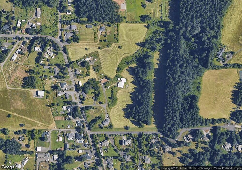
Map
Nearby Homes
- 13135 SE Winston Rd
- 14037 SE Rust Way
- 13895 SE Rust Way
- 19331 SE Heuke Rd
- 15170 SE 202nd Ave
- 15400 SE Barlow Ct
- 13633 SE 178th Ave
- 18027 SE Emi St
- 14425 SE 222nd Dr
- 20154 SE Foster Rd
- 22285 SE Ridgeview Dr
- 20160 SE Foster Rd
- 19174 SE Debora Dr
- 21145 SE Tillstrom Rd
- 14548 SE 172nd Ave
- 11131 SE 190th Ct
- 12281 SE Olympic St
- 17483 SE Acadia St
- 17310 SE Crossroads Ave
- 12672 SE 172nd Ave
- 21465 SE Foster Rd
- 19898 SE Ka de Ct
- 19898 SE Ka-De Ct
- 21417 SE Foster Rd
- 21351 SE Foster Rd
- 15743 S Se Anderegg Pkwy
- 21450 SE Foster Rd
- 21355 SE Foster Rd
- 21420 SE Foster Rd
- 21516 SE Foster Rd
- 20020 SE High Ridge Ct
- 19940 SE High Ridge Ct
- 21480 SE Foster Rd
- 19780 SE Ellie Ln
- 20150 SE High Ridge Ct
- 21370 SE Foster Rd
- 21325 SE Foster Rd
- 21300 SE Foster Rd
- 19746 SE Ellie Ln
- 20100 SE High Ridge Ct