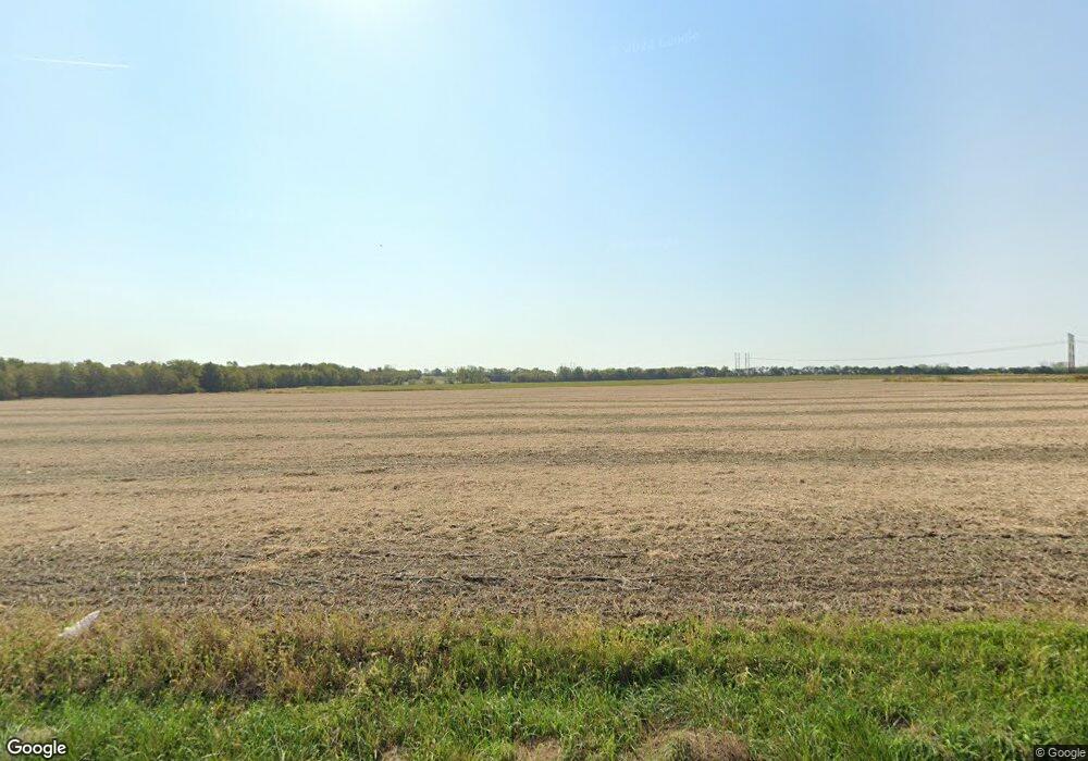
19909 E State Route P Pleasant Hill, MO 64080
Estimated Value: $577,124 - $674,000
3
Beds
4
Baths
2,184
Sq Ft
$283/Sq Ft
Est. Value
About This Home
This home is located at 19909 E State Route P, Pleasant Hill, MO 64080 and is currently estimated at $617,041, approximately $282 per square foot. 19909 E State Route P is a home located in Cass County with nearby schools including Bridle Ridge Intermediate School, Raymore-Peculiar South Middle School, and Raymore-Peculiar Senior High School.
Ownership History
Date
Name
Owned For
Owner Type
Purchase Details
Closed on
Sep 11, 2017
Sold by
Neill Donald L and Neill Martha A
Bought by
Johnson Michael and Johnson Laurie E
Current Estimated Value
Home Financials for this Owner
Home Financials are based on the most recent Mortgage that was taken out on this home.
Original Mortgage
$290,000
Outstanding Balance
$241,205
Interest Rate
3.93%
Mortgage Type
New Conventional
Estimated Equity
$375,836
Create a Home Valuation Report for This Property
The Home Valuation Report is an in-depth analysis detailing your home's value as well as a comparison with similar homes in the area
Purchase History
| Date | Buyer | Sale Price | Title Company |
|---|---|---|---|
| Johnson Michael | -- | Commonwealth Land Title Insu |
Source: Public Records
Mortgage History
| Date | Status | Borrower | Loan Amount |
|---|---|---|---|
| Open | Johnson Michael | $290,000 |
Source: Public Records
Tax History Compared to Growth
Tax History
| Year | Tax Paid | Tax Assessment Tax Assessment Total Assessment is a certain percentage of the fair market value that is determined by local assessors to be the total taxable value of land and additions on the property. | Land | Improvement |
|---|---|---|---|---|
| 2025 | $3,467 | $57,650 | $2,560 | $55,090 |
| 2024 | $3,467 | $50,720 | $2,350 | $48,370 |
| 2023 | $3,458 | $50,720 | $2,350 | $48,370 |
| 2022 | $3,040 | $43,920 | $2,350 | $41,570 |
| 2021 | $2,909 | $43,920 | $2,350 | $41,570 |
| 2020 | $2,933 | $43,400 | $2,350 | $41,050 |
| 2019 | $2,889 | $43,400 | $2,350 | $41,050 |
| 2018 | $2,716 | $39,380 | $1,920 | $37,460 |
| 2017 | $2,349 | $39,380 | $1,920 | $37,460 |
| 2016 | $2,349 | $37,310 | $1,920 | $35,390 |
| 2015 | $2,348 | $37,310 | $1,920 | $35,390 |
| 2014 | $2,348 | $37,300 | $1,910 | $35,390 |
| 2013 | -- | $37,300 | $1,910 | $35,390 |
Source: Public Records
Map
Nearby Homes
- 19401 E 217th St
- Tract A E 195th St
- 18804 Bella Terra Rd
- 18904 Bella Terra Rd
- 18703 Bella Terra Rd
- 0 S Gibbons Rd
- 24008 E 205th St
- 21801 Lucca Ln
- 24908 E 199th St
- 17405 E 228th St
- Lot 6 175th St
- Lot 8 175th St
- Lot 1 Hubach Hill Rd
- 23400 S Cottage Ln
- 13512 E 198th St
- 13501 E Prairie Dr
- 19615 S State Route J
- 2011 Missouri 58
- 13301 E Harvest Ln
- 0 E Hubach Hill Rd Unit HMS2575511
- 19909 E State Route P
- 19211 E State Route E Rural Route
- 19512 E State Route P
- 19410 E State Route P
- 19912 E State Route P
- 20001 E State Route P
- 19304 E State Route P
- 20000 E State Route P
- 19204 E State Route P
- 19800 E P Hwy
- 19800 E State Route P
- 20107 E State Route P
- 19106 E State Route P
- 20209 E State Route P
- 20209 E State Route P
- 20401 E State Route P
- 20401 E State Route P
- 18908 E State Route P
- 20300 E State Route P
- Lot 4 P Hwy
