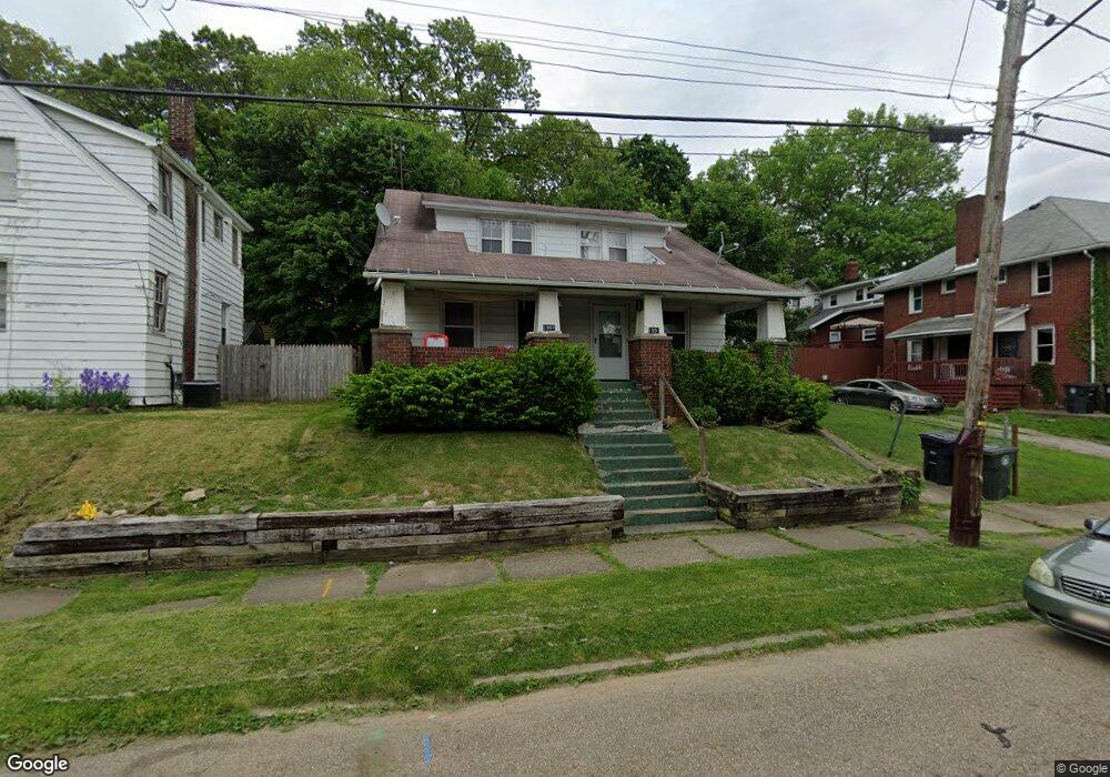
1991 9th St SW Akron, OH 44314
Kenmore NeighborhoodEstimated Value: $82,976
4
Beds
2
Baths
2,160
Sq Ft
$38/Sq Ft
Est. Value
About This Home
This home is located at 1991 9th St SW, Akron, OH 44314 and is currently priced at $82,976, approximately $38 per square foot. 1991 9th St SW is a home located in Summit County with nearby schools including Pfeiffer Elementary School, Kenmore Garfield Community Learning Center, and Sam Salem Community Learning Center.
Ownership History
Date
Name
Owned For
Owner Type
Purchase Details
Closed on
Oct 3, 2025
Sold by
Ninth Street Holdings Ltd
Bought by
Oh 173 Westwood Llc
Current Estimated Value
Home Financials for this Owner
Home Financials are based on the most recent Mortgage that was taken out on this home.
Original Mortgage
$78,500
Outstanding Balance
$72,153
Interest Rate
6.58%
Mortgage Type
Construction
Purchase Details
Closed on
May 5, 2000
Sold by
Little James J and Little Karen M
Bought by
Ninth Street Holdings Ltd
Create a Home Valuation Report for This Property
The Home Valuation Report is an in-depth analysis detailing your home's value as well as a comparison with similar homes in the area
Home Values in the Area
Average Home Value in this Area
Purchase History
| Date | Buyer | Sale Price | Title Company |
|---|---|---|---|
| Oh 173 Westwood Llc | $75,000 | Wigley Title Agency | |
| Ninth Street Holdings Ltd | -- | -- |
Source: Public Records
Mortgage History
| Date | Status | Borrower | Loan Amount |
|---|---|---|---|
| Open | Oh 173 Westwood Llc | $78,500 |
Source: Public Records
Tax History Compared to Growth
Tax History
| Year | Tax Paid | Tax Assessment Tax Assessment Total Assessment is a certain percentage of the fair market value that is determined by local assessors to be the total taxable value of land and additions on the property. | Land | Improvement |
|---|---|---|---|---|
| 2025 | $1,471 | $26,089 | $5,859 | $20,230 |
| 2024 | $1,471 | $26,089 | $5,859 | $20,230 |
| 2023 | $1,471 | $26,089 | $5,859 | $20,230 |
| 2022 | $1,388 | $19,264 | $3,549 | $15,715 |
| 2021 | $1,389 | $19,264 | $3,549 | $15,715 |
| 2020 | $1,369 | $19,270 | $3,550 | $15,720 |
| 2019 | $1,394 | $17,850 | $4,430 | $13,420 |
| 2018 | $1,377 | $17,850 | $4,430 | $13,420 |
| 2017 | $1,885 | $20,940 | $4,430 | $16,510 |
| 2016 | $1,887 | $24,550 | $5,190 | $19,360 |
| 2015 | $1,885 | $24,550 | $5,190 | $19,360 |
| 2014 | $1,841 | $24,550 | $5,190 | $19,360 |
| 2013 | $1,894 | $25,840 | $5,190 | $20,650 |
Source: Public Records
Map
Nearby Homes
- 2045 9th St SW
- 1975 9th St SW
- 639 Chester Ave
- 1940 8th St SW
- 622 Polk Ave
- 773 Montana Ave
- 2001 13th St SW
- 2041 13th St SW
- 2104 11th St SW
- 2016 13th St SW
- 2134 7th St SW
- 2137 12th St SW
- 2086 13th St SW
- 1702 Leighton Ave
- 2171 12th St SW
- 1734 Manchester Rd
- 918 Silvercrest Ave
- 898 Iona Ave
- 1907 Manchester Rd
- 1725 Manchester Rd
- 1993 9th St SW
- 1987 9th St SW
- 699 Harrison Ave
- 693 Harrison Ave
- 670 Chester Ave
- 1986 9th St SW
- 1990 9th St SW
- 709 Harrison Ave
- 689 Harrison Ave
- 689 Harrison Ave
- 664 Chester Ave
- 1975 9th St SW
- 669 Chester Ave
- 715 Harrison Ave
- 658 Chester Ave
- 700 Chester Ave
- 681 Harrison Ave
- 1978 9th St SW
- 663 Chester Ave
- 700 Harrison Ave