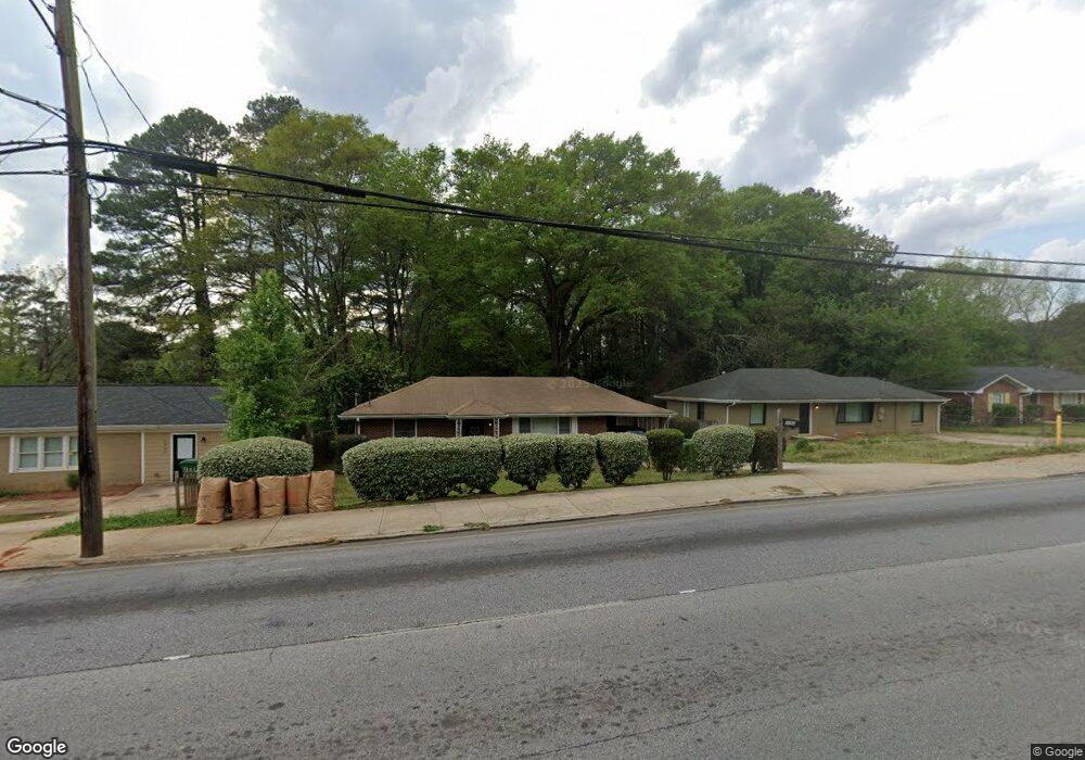
1991 Columbia Dr Decatur, GA 30032
Estimated Value: $176,000 - $190,000
2
Beds
1
Bath
1,025
Sq Ft
$176/Sq Ft
Est. Value
About This Home
This home is located at 1991 Columbia Dr, Decatur, GA 30032 and is currently estimated at $180,494, approximately $176 per square foot. 1991 Columbia Dr is a home located in DeKalb County with nearby schools including Snapfinger Elementary School, Columbia Middle School, and Columbia High School.
Ownership History
Date
Name
Owned For
Owner Type
Purchase Details
Closed on
Nov 11, 1997
Sold by
Hall Robert H
Bought by
Hines William H and Hines Joyce L
Current Estimated Value
Home Financials for this Owner
Home Financials are based on the most recent Mortgage that was taken out on this home.
Original Mortgage
$63,000
Outstanding Balance
$9,998
Interest Rate
7.31%
Mortgage Type
New Conventional
Estimated Equity
$170,497
Create a Home Valuation Report for This Property
The Home Valuation Report is an in-depth analysis detailing your home's value as well as a comparison with similar homes in the area
Home Values in the Area
Average Home Value in this Area
Purchase History
| Date | Buyer | Sale Price | Title Company |
|---|---|---|---|
| Hines William H | $63,000 | -- |
Source: Public Records
Mortgage History
| Date | Status | Borrower | Loan Amount |
|---|---|---|---|
| Open | Hines William H | $63,000 |
Source: Public Records
Tax History Compared to Growth
Tax History
| Year | Tax Paid | Tax Assessment Tax Assessment Total Assessment is a certain percentage of the fair market value that is determined by local assessors to be the total taxable value of land and additions on the property. | Land | Improvement |
|---|---|---|---|---|
| 2025 | $2,005 | $65,120 | $22,080 | $43,040 |
| 2024 | $2,007 | $62,520 | $22,080 | $40,440 |
| 2023 | $2,007 | $60,240 | $22,080 | $38,160 |
| 2022 | $1,655 | $50,640 | $12,640 | $38,000 |
| 2021 | $1,577 | $48,240 | $12,640 | $35,600 |
| 2020 | $1,205 | $37,320 | $10,800 | $26,520 |
| 2019 | $1,070 | $33,680 | $10,800 | $22,880 |
| 2018 | $682 | $25,760 | $10,800 | $14,960 |
| 2017 | $431 | $14,760 | $2,880 | $11,880 |
| 2016 | $511 | $17,280 | $2,880 | $14,400 |
| 2014 | $322 | $5,320 | $3,600 | $1,720 |
Source: Public Records
Map
Nearby Homes
- 1997 Columbia Dr
- 1973 Columbia Dr
- 2009 Oak Park Ln Unit 2009
- 2033 Oak Park Ln
- 3297 Sheffield Cir
- 2043 Columbia Dr
- 2050 Oak Park Ln
- 1942 Columbia Dr
- 2074 Oak Park Ln Unit 2074
- 3415 Homera Place
- 3409 Hyland Dr
- 2004 Shamrock Dr
- 1779 Rosewood Rd
- 1990 Shamrock Dr
- 1908 S Columbia Place
- 3517 Hyland Dr
- 3427 Springlake Dr
- 3235 Mcafee Rd
- 1819 Rosewood Rd
- 1985 Columbia Dr
- 1979 Columbia Dr
- 3358 Mcafee Rd
- 3350 Mcafee Rd
- 3342 Mcafee Rd
- 1988 Columbia Dr
- 3338 Mcafee Rd
- 3371 Wickham Dr
- 1982 Columbia Dr Unit 1982
- 1982 Columbia Dr
- 1982 Columbia Dr
- 1976 Columbia Dr
- 1967 Columbia Dr
- 3338 Wickham Dr
- 3377 Wickham Dr
- 3332 Mcafee Rd
- 1970 Columbia Dr
- 3382 Wickham Dr
- 3370 Homera Place
- 3383 Wickham Dr