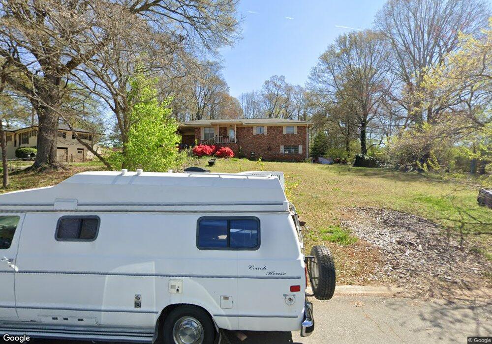
1991 Cox Dr Unit 5 Austell, GA 30168
Estimated Value: $248,158 - $297,000
3
Beds
2
Baths
1,125
Sq Ft
$237/Sq Ft
Est. Value
About This Home
This home is located at 1991 Cox Dr Unit 5, Austell, GA 30168 and is currently estimated at $266,290, approximately $236 per square foot. 1991 Cox Dr Unit 5 is a home located in Cobb County with nearby schools including Bryant Elementary School, Lindley Middle School, and Pebblebrook High School.
Ownership History
Date
Name
Owned For
Owner Type
Purchase Details
Closed on
May 15, 2001
Sold by
Aikens Sheryl L
Bought by
Machiz Ari and Machiz Rosa I
Current Estimated Value
Home Financials for this Owner
Home Financials are based on the most recent Mortgage that was taken out on this home.
Original Mortgage
$120,944
Outstanding Balance
$44,883
Interest Rate
7.11%
Mortgage Type
FHA
Estimated Equity
$221,407
Create a Home Valuation Report for This Property
The Home Valuation Report is an in-depth analysis detailing your home's value as well as a comparison with similar homes in the area
Home Values in the Area
Average Home Value in this Area
Purchase History
| Date | Buyer | Sale Price | Title Company |
|---|---|---|---|
| Machiz Ari | $121,900 | -- |
Source: Public Records
Mortgage History
| Date | Status | Borrower | Loan Amount |
|---|---|---|---|
| Open | Machiz Ari | $120,944 |
Source: Public Records
Tax History Compared to Growth
Tax History
| Year | Tax Paid | Tax Assessment Tax Assessment Total Assessment is a certain percentage of the fair market value that is determined by local assessors to be the total taxable value of land and additions on the property. | Land | Improvement |
|---|---|---|---|---|
| 2025 | $2,264 | $103,424 | $26,000 | $77,424 |
| 2024 | $2,266 | $103,424 | $26,000 | $77,424 |
| 2023 | $2,041 | $118,076 | $18,000 | $100,076 |
| 2022 | $1,719 | $77,576 | $10,800 | $66,776 |
| 2021 | $1,218 | $54,676 | $10,800 | $43,876 |
| 2020 | $1,218 | $54,676 | $10,800 | $43,876 |
| 2019 | $917 | $40,956 | $10,000 | $30,956 |
| 2018 | $846 | $37,708 | $9,600 | $28,108 |
| 2017 | $808 | $37,708 | $9,600 | $28,108 |
| 2016 | $540 | $27,684 | $9,600 | $18,084 |
| 2015 | $555 | $27,684 | $9,600 | $18,084 |
| 2014 | $731 | $33,448 | $0 | $0 |
Source: Public Records
Map
Nearby Homes
- 1972 Cox Dr Unit 5
- 2072 Woodbine Cir
- 6581 Coventry Point Unit 1
- 1151 S Gordon Rd
- 6718 Roscommon Dr
- 1784 Brandemere Dr Unit 3
- 6627 Coventry Point
- 0 Maxham Rd Unit 10652291
- 6445 Sherwood Trail
- 2023 Lee Dr
- 6083 Oak Hill Dr
- 6084 S Gordon Rd
- 1576 S Gordon Rd
- 6651 Malvin Dr
- 2414 Old Alabama Rd
- 1766 Blossom Ln
- 1550 Greenbrook Dr
- 6992 Ivy Pointe Row
- 1971 Cox Dr Unit 5
- 1961 Cox Dr Unit 5
- 1972 Cardell Rd
- 1990 Cox Dr
- 1962 Cardell Rd
- 2012 Cardell Rd
- 1951 Cox Dr
- 1940 Cardell Rd
- 1978 Cox Dr
- 2024 Cardell Rd
- 1966 Cox Dr
- 1966 Cox Dr Unit 5
- 1941 Cox Dr
- 1960 Cox Dr
- 1940 Cox Dr Unit 5
- 1959 Abbey Province Unit 1
- 1931 Cox Dr
- 2036 Cardell Rd
- 1961 Abbey Province
- 1963 Abbey Province