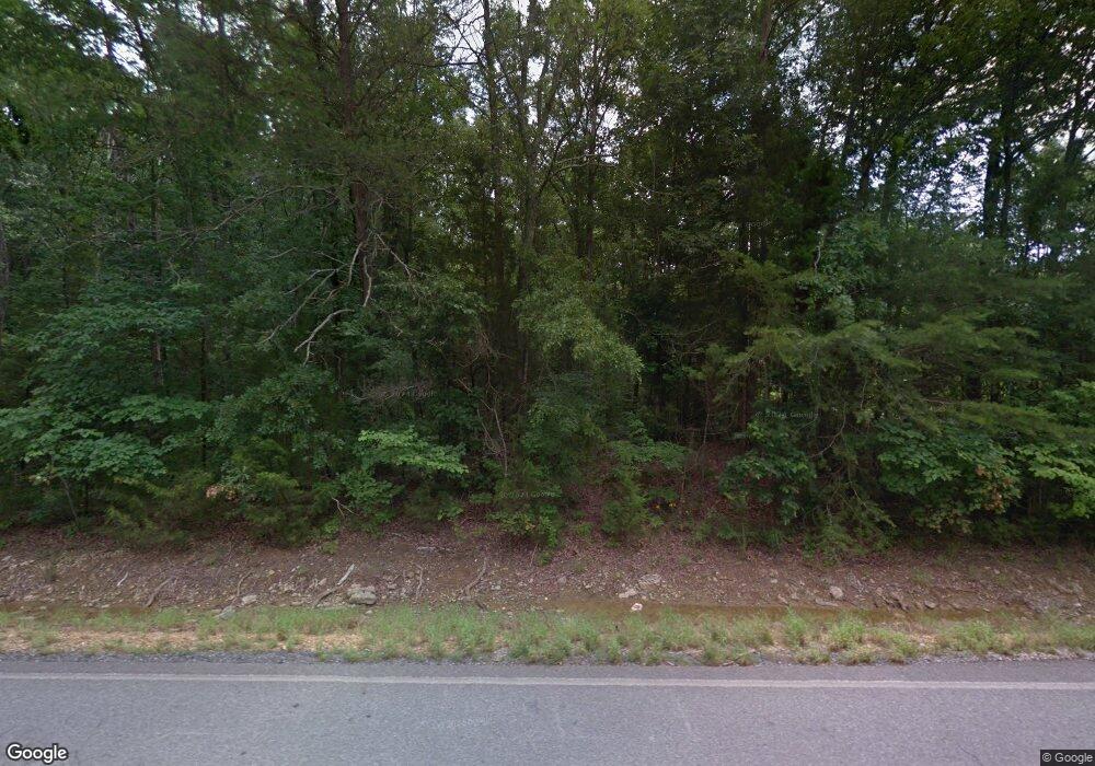
1991 Highway 151 La Fayette, GA 30728
Estimated Value: $99,000 - $500,474
4
Beds
4
Baths
2,500
Sq Ft
$113/Sq Ft
Est. Value
About This Home
This home is located at 1991 Highway 151, La Fayette, GA 30728 and is currently estimated at $281,619, approximately $112 per square foot. 1991 Highway 151 is a home located in Walker County with nearby schools including Rock Spring Elementary School and Lafayette High School.
Ownership History
Date
Name
Owned For
Owner Type
Purchase Details
Closed on
Jul 22, 2024
Sold by
Lynch Wanda
Bought by
Bates Carol Shilloy and Lynch Wanda
Current Estimated Value
Purchase Details
Closed on
Nov 2, 2016
Bought by
Lynch Wanda
Purchase Details
Closed on
Jul 3, 2008
Sold by
Lewis Jackie
Bought by
Lynch I Wanda
Purchase Details
Closed on
Jan 30, 2004
Sold by
Standard Federal Bank
Bought by
Lynch Wanda Ishee
Purchase Details
Closed on
Jan 23, 2004
Sold by
Lewis Jackie and Lewis Brenda
Bought by
Standard Federal Bank
Purchase Details
Closed on
Oct 2, 1998
Bought by
Lewis Jackie and Lewis Brenda
Purchase Details
Closed on
Jun 2, 1986
Bought by
Wilson Charles L and Wilson Elaine
Create a Home Valuation Report for This Property
The Home Valuation Report is an in-depth analysis detailing your home's value as well as a comparison with similar homes in the area
Home Values in the Area
Average Home Value in this Area
Purchase History
| Date | Buyer | Sale Price | Title Company |
|---|---|---|---|
| Bates Carol Shilloy | -- | -- | |
| Bates Carol Shilloy | -- | -- | |
| Bates Carol Shilloy | -- | -- | |
| Lynch Wanda | $35,000 | -- | |
| Lynch I Wanda | $10,000 | -- | |
| Lynch Wanda Ishee | -- | -- | |
| Standard Federal Bank | -- | -- | |
| Lewis Jackie | $210,000 | -- | |
| Wilson Charles L | -- | -- |
Source: Public Records
Tax History Compared to Growth
Tax History
| Year | Tax Paid | Tax Assessment Tax Assessment Total Assessment is a certain percentage of the fair market value that is determined by local assessors to be the total taxable value of land and additions on the property. | Land | Improvement |
|---|---|---|---|---|
| 2024 | $3,264 | $162,648 | $24,478 | $138,170 |
| 2023 | $3,837 | $150,023 | $19,427 | $130,596 |
| 2022 | $3,419 | $125,513 | $9,478 | $116,035 |
| 2021 | $3,352 | $110,966 | $9,478 | $101,488 |
| 2020 | $3,129 | $98,609 | $9,478 | $89,131 |
| 2019 | $3,059 | $94,159 | $9,478 | $84,681 |
| 2018 | $2,491 | $94,159 | $9,478 | $84,681 |
| 2016 | $1,630 | $22,334 | $3,078 | $19,256 |
| 2015 | $841 | $27,300 | $6,348 | $20,952 |
| 2014 | $754 | $27,300 | $6,348 | $20,952 |
| 2013 | -- | $27,300 | $6,348 | $20,952 |
Source: Public Records
Map
Nearby Homes
- 7606 Highway 95
- 1052 Huffman Rd
- 201 Van Dell Dr
- 0 Alabama Hwy Unit 1520958
- 0 Alabama Hwy Unit 21222630
- 0 Alabama Hwy Unit TRACT 3 10244950
- Old Alabama Hwy Ga-151
- 176 Turkey Ridge Rd
- 533 Van Dell Dr
- 3255 Colbert Hollow Rd
- 4934 N Jimmy Dr
- 134 Farm View Cir
- 200 Cattail Dr
- 1934 Round Pond Rd
- 450 Arnold Ln
- 4177 S Jimmy Dr
- 72 Brutis Dr
- 121 Stock Dog Ln
- 0 Colbert Hollow Rd Unit 1513202
- 901 Dunwoody Rd
- 1991 Georgia 151
- 1884 Highway 151
- 2225 Highway 151
- 2225 Highway 151
- 1877 Highway 151
- 1778 Highway 151
- 82 Burkett Dr
- 2180 Hwy 151
- 2180 Highway 151
- 1670 Georgia 151
- 129 Burkett Dr
- 1670 Highway 151
- 2264 Highway 151
- 2212 Highway 151
- 2212 Highway 151
- 684 Cooper Rd
- 1582 Highway 151
- 1537 Highway 151
- 1528 Highway 151
- 1528 Georgia 151
