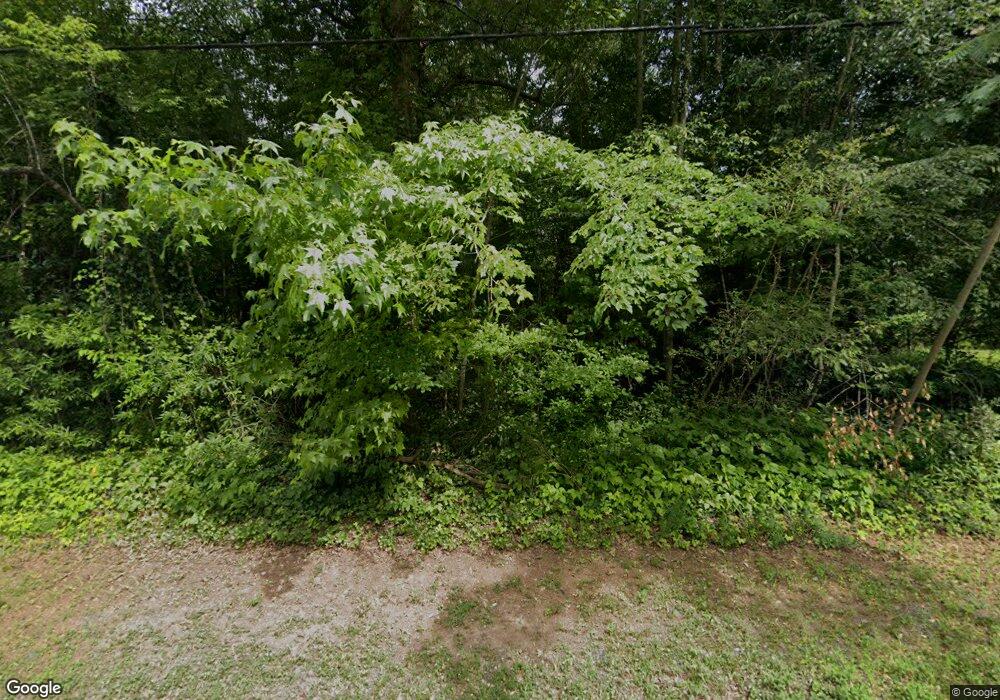
1991 Palm St Canton, GA 30115
Estimated Value: $483,000 - $1,400,000
4
Beds
3
Baths
2,676
Sq Ft
$284/Sq Ft
Est. Value
About This Home
This home is located at 1991 Palm St, Canton, GA 30115 and is currently estimated at $760,092, approximately $284 per square foot. 1991 Palm St is a home located in Cherokee County with nearby schools including Holly Springs Elementary School, Rusk Middle School, and Sequoyah High School.
Ownership History
Date
Name
Owned For
Owner Type
Purchase Details
Closed on
Dec 15, 2021
Sold by
Wcp Grp Llc
Bought by
Idletown Development Inc
Current Estimated Value
Purchase Details
Closed on
Dec 31, 2019
Sold by
H & R Investments Llc
Bought by
Roach Rpoperties Llc and Graham And Huff Properties Llc
Purchase Details
Closed on
Mar 22, 2018
Sold by
Scott 20 Investments Llc
Bought by
H
Purchase Details
Closed on
Sep 6, 2017
Bought by
Scott 20 Investments Llc
Purchase Details
Closed on
Nov 7, 2016
Bought by
Wcp Grp Llc
Purchase Details
Closed on
Apr 13, 2007
Sold by
Smith Gloria J
Bought by
Mjl Properties Llc
Create a Home Valuation Report for This Property
The Home Valuation Report is an in-depth analysis detailing your home's value as well as a comparison with similar homes in the area
Home Values in the Area
Average Home Value in this Area
Purchase History
| Date | Buyer | Sale Price | Title Company |
|---|---|---|---|
| Idletown Development Inc | -- | -- | |
| Idletown Development Inc | $2,400,000 | -- | |
| Roach Rpoperties Llc | -- | -- | |
| H | -- | -- | |
| H & R Investments Llc | -- | -- | |
| Scott 20 Investments Llc | $1,220,000 | -- | |
| Wcp Grp Llc | -- | -- | |
| Mjl Properties Llc | $683,200 | -- |
Source: Public Records
Tax History Compared to Growth
Tax History
| Year | Tax Paid | Tax Assessment Tax Assessment Total Assessment is a certain percentage of the fair market value that is determined by local assessors to be the total taxable value of land and additions on the property. | Land | Improvement |
|---|---|---|---|---|
| 2025 | $2,298 | $45,520 | $45,520 | -- |
| 2024 | $2,861 | $95,904 | $45,520 | $50,384 |
| 2023 | $2,964 | $97,356 | $45,520 | $51,836 |
| 2022 | $2,528 | $82,332 | $45,520 | $36,812 |
| 2021 | $2,009 | $80,060 | $45,520 | $34,540 |
| 2020 | $2,706 | $80,992 | $45,520 | $35,472 |
| 2019 | $2,100 | $83,520 | $45,520 | $38,000 |
| 2018 | $2,124 | $83,880 | $45,520 | $38,360 |
| 2017 | $2,133 | $212,000 | $45,520 | $39,280 |
| 2016 | $2,133 | $207,200 | $45,520 | $37,360 |
| 2015 | $2,175 | $209,400 | $45,520 | $38,240 |
| 2014 | $2,008 | $192,900 | $39,280 | $37,880 |
Source: Public Records
Map
Nearby Homes
- 1557 River Park Blvd
- 501 Ruths Dr
- 414 Ruths Blvd
- 643 N Rope Mill Rd Unit 634
- 643 N Rope Mill Rd
- 5541 Old Highway 5
- 531 Fox Creek Crossing
- 544 Ridge View Crossing
- 1243 Palm Ridge Trace
- 1620 Palm St
- 530 Georgia Way
- 702 Barberry Dr
- 306 Serenity Way
- 228 Holly Creek Way
- 490 Payne Rd
- 279 Hiawassee Dr
- 203 Brookhaven Place
- 275 Palm St
- 2191 Palm St
- 2215 Palm St
- 310 Palm St
- 396 E Rope Mill Ln
- 390 E Rope Mill Ln
- 100 Palm Lake Dr
- E E Rope Mill Rd
- 461 E Rope Mill Ln
- 0 E Rope Mill Rd Unit 5568635
- 0 E Rope Mill Rd Unit 3143489
- 0 E Rope Mill Rd Unit 6804106
- 0 Palm Lake Dr Unit 8824420
- 0 Palm Lake Dr Unit 7545019
- 0 Palm Lake Dr Unit 8479707
- 202 Palm St
- 202 Anderson Ct
- 105 Palm Lake Dr
- 204 Cryder Ln
- 1151 Heights Pkwy
