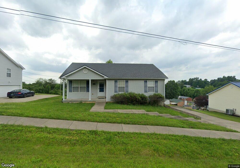
1991 S Boundary Rd Radcliff, KY 40160
Estimated Value: $234,000 - $252,000
3
Beds
3
Baths
2,454
Sq Ft
$100/Sq Ft
Est. Value
About This Home
This home is located at 1991 S Boundary Rd, Radcliff, KY 40160 and is currently estimated at $245,002, approximately $99 per square foot. 1991 S Boundary Rd is a home located in Hardin County with nearby schools including New Highland Elementary School, North Middle School, and John Hardin High School.
Ownership History
Date
Name
Owned For
Owner Type
Purchase Details
Closed on
Feb 26, 2010
Sold by
Ferguson Jason E and Ferguson Sandy R
Bought by
Baker Danny S
Current Estimated Value
Home Financials for this Owner
Home Financials are based on the most recent Mortgage that was taken out on this home.
Original Mortgage
$89,900
Interest Rate
4.97%
Mortgage Type
New Conventional
Purchase Details
Closed on
Dec 20, 2006
Sold by
Landmark Developnment Llc
Bought by
Ferguson Jason E and Ferguson Sandy R
Home Financials for this Owner
Home Financials are based on the most recent Mortgage that was taken out on this home.
Original Mortgage
$145,155
Interest Rate
6.19%
Mortgage Type
VA
Purchase Details
Closed on
Aug 3, 2005
Sold by
Joe K Schlatter Inc
Bought by
Downey & Sons Construction Inc
Create a Home Valuation Report for This Property
The Home Valuation Report is an in-depth analysis detailing your home's value as well as a comparison with similar homes in the area
Home Values in the Area
Average Home Value in this Area
Purchase History
| Date | Buyer | Sale Price | Title Company |
|---|---|---|---|
| Baker Danny S | $129,900 | Metro Title Llc Crestwood | |
| Ferguson Jason E | $128,000 | None Available | |
| Downey & Sons Construction Inc | $65,000 | None Available |
Source: Public Records
Mortgage History
| Date | Status | Borrower | Loan Amount |
|---|---|---|---|
| Closed | Baker Danny S | $89,900 | |
| Previous Owner | Ferguson Jason E | $145,155 |
Source: Public Records
Tax History Compared to Growth
Tax History
| Year | Tax Paid | Tax Assessment Tax Assessment Total Assessment is a certain percentage of the fair market value that is determined by local assessors to be the total taxable value of land and additions on the property. | Land | Improvement |
|---|---|---|---|---|
| 2024 | $1,774 | $188,700 | $18,000 | $170,700 |
| 2023 | $213 | $148,000 | $14,700 | $133,300 |
| 2022 | $1,415 | $148,000 | $14,700 | $133,300 |
| 2021 | $1,602 | $148,000 | $14,700 | $133,300 |
| 2020 | $1,617 | $148,000 | $14,700 | $133,300 |
| 2019 | $205 | $131,400 | $0 | $0 |
| 2018 | $1,406 | $131,400 | $0 | $0 |
| 2017 | $1,400 | $131,400 | $0 | $0 |
| 2016 | $205 | $131,400 | $0 | $0 |
| 2015 | $1,135 | $129,900 | $0 | $0 |
| 2012 | -- | $129,900 | $0 | $0 |
Source: Public Records
Map
Nearby Homes
- 117 Monroe St
- 108 Hamilton St
- 100 Monroe St
- 101 Jefferson St
- 872 Shelby Ave
- 465 Wagon Wheel Trail
- 120 Darby Woods Ct
- 124 Darby Woods Ct
- 108 Derbyshire Ct
- 133 Darby Woods Ct
- 505 Independence Ct
- 108 Danbrook Ct
- 141 Darby Woods Ct
- 116 Danbrook Ct
- 121 Danbrook Ct
- 148 Darby Woods Ct Unit 148,150,152,154
- 2840 Frontier Ct
- 814 Conroe Dr
- 105 Candy Ct
- 815 Conroe Dr
- 1857 S Boundary Rd
- 2125 S Boundary Rd
- 1725 S Boundary Rd
- 986 Austin Dr
- 1591 S Boundary Rd
- 980 Austin Dr
- 769 Franklin St
- 974 Austin Dr
- 1459 S Boundary Rd
- 985 Austin Dr
- 763 Franklin St
- 775 Franklin St
- 781 Franklin St
- 2119 S Boundary Rd
- 1325 S Boundary Rd
- 968 Austin Dr
- 757 Franklin St
- 977 Austin Dr
- 787 Franklin St
- 2131 S Boundary Rd