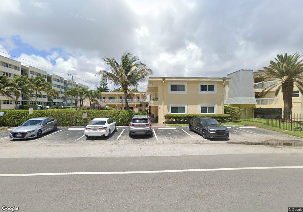
1991 SE 10th St Unit 6 Deerfield Beach, FL 33441
Deerfield Beach Island NeighborhoodEstimated Value: $150,296 - $289,000
1
Bed
1
Bath
370
Sq Ft
$543/Sq Ft
Est. Value
About This Home
This home is located at 1991 SE 10th St Unit 6, Deerfield Beach, FL 33441 and is currently estimated at $201,074, approximately $543 per square foot. 1991 SE 10th St Unit 6 is a home located in Broward County with nearby schools including Deerfield Beach Elementary School, Deerfield Beach Middle School, and Deerfield Beach High School.
Ownership History
Date
Name
Owned For
Owner Type
Purchase Details
Closed on
Jul 31, 2019
Sold by
Coral Reef Deerfield Llc
Bought by
Ocean Ridge Paradise 120 Llc
Current Estimated Value
Purchase Details
Closed on
Aug 1, 2016
Sold by
Roy Angelique
Bought by
Deerfield Llc
Purchase Details
Closed on
May 17, 1999
Sold by
Aubain Dariel
Bought by
Moncine Angelique
Home Financials for this Owner
Home Financials are based on the most recent Mortgage that was taken out on this home.
Original Mortgage
$36,000
Interest Rate
6.98%
Mortgage Type
New Conventional
Purchase Details
Closed on
Jan 1, 1991
Sold by
Available Not
Bought by
Available Not
Create a Home Valuation Report for This Property
The Home Valuation Report is an in-depth analysis detailing your home's value as well as a comparison with similar homes in the area
Home Values in the Area
Average Home Value in this Area
Purchase History
| Date | Buyer | Sale Price | Title Company |
|---|---|---|---|
| Ocean Ridge Paradise 120 Llc | $30,500 | Attorney | |
| Deerfield Llc | $129,200 | Bailey Woodruff Title Co Inc | |
| Moncine Angelique | $51,000 | -- | |
| Available Not | $25,929 | -- |
Source: Public Records
Mortgage History
| Date | Status | Borrower | Loan Amount |
|---|---|---|---|
| Previous Owner | Moncine Angelique | $36,000 |
Source: Public Records
Tax History Compared to Growth
Tax History
| Year | Tax Paid | Tax Assessment Tax Assessment Total Assessment is a certain percentage of the fair market value that is determined by local assessors to be the total taxable value of land and additions on the property. | Land | Improvement |
|---|---|---|---|---|
| 2025 | $2,566 | $108,800 | $10,880 | $97,920 |
| 2024 | $2,474 | $108,800 | $10,880 | $97,920 |
| 2023 | $2,474 | $103,880 | $10,390 | $93,490 |
| 2022 | $2,314 | $98,470 | $9,850 | $88,620 |
| 2021 | $2,129 | $92,020 | $9,200 | $82,820 |
| 2020 | $2,147 | $92,960 | $9,300 | $83,660 |
| 2019 | $2,421 | $105,630 | $10,560 | $95,070 |
| 2018 | $2,300 | $103,370 | $10,340 | $93,030 |
| 2017 | $2,291 | $101,380 | $0 | $0 |
| 2016 | $1,810 | $76,540 | $0 | $0 |
| 2015 | $1,774 | $70,560 | $0 | $0 |
| 2014 | $1,639 | $64,150 | $0 | $0 |
| 2013 | -- | $58,320 | $5,830 | $52,490 |
Source: Public Records
Map
Nearby Homes
- 961 SE 20th Ave Unit 308
- 1238 Hillsboro Mile Unit 103
- 1239 Hillsboro Mile Unit 203A
- 1237 Hillsboro Mile Unit 402
- 1237 Hillsboro Mile Unit 101A
- 1228 Hillsboro Mile Unit 203
- 1228 Hillsboro Mile Unit 206
- 1228 Hillsboro Mile Unit 202
- 800 SE 20th Ave Unit 303
- 800 SE 20th Ave Unit 915
- 800 SE 20th Ave Unit 1109
- 800 SE 20th Ave Unit 1115
- 1558 SE 10th St
- 1225 Hillsboro Mile Unit B2
- 1225 Hillsboro Mile Unit N2
- 1225 Hillsboro Mile Unit M2
- 701 SE 21st Ave Unit 103
- 701 SE 21st Ave Unit 306
- 701 SE 21st Ave Unit 109
- 701 SE 21st Ave Unit 302
- 1991 SE 10th St Unit 3
- 1991 SE 10th St Unit 7
- 1991 SE 10th St Unit 11
- 1991 SE 10th St Unit 5
- 1991 SE 10th St Unit 2
- 1991 SE 10th St Unit 9
- 1991 SE 10th St Unit 4
- 1991 SE 10th St Unit 1
- 1991 SE 10th St Unit 8
- 1991 SE 10th St Unit 14
- 1991 SE 10th St Unit 12
- 961 S Ocean Dr Unit 308
- 961 S Ocean Dr Unit 204
- 961 S Ocean Dr Unit 202
- 961 S Ocean Dr Unit 307
- 961 S Ocean Blvd Unit 203
- 1911 SE 10th St
- 961 S Ocean Dr Unit 204