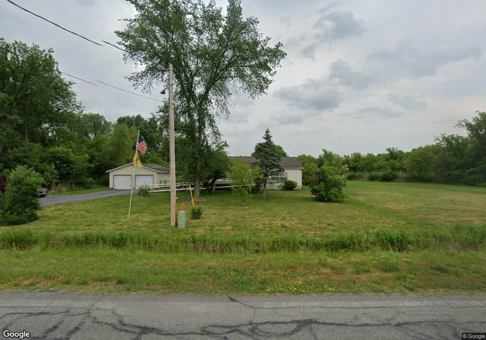
1991 Tag Rd Chittenango, NY 13037
Estimated Value: $230,791 - $345,000
3
Beds
2
Baths
1,568
Sq Ft
$177/Sq Ft
Est. Value
About This Home
This home is located at 1991 Tag Rd, Chittenango, NY 13037 and is currently estimated at $277,597, approximately $177 per square foot. 1991 Tag Rd is a home located in Madison County with nearby schools including Chittenango High School.
Ownership History
Date
Name
Owned For
Owner Type
Purchase Details
Closed on
Dec 21, 2023
Sold by
Previtire Philip A
Bought by
Bouvia Melissa
Current Estimated Value
Home Financials for this Owner
Home Financials are based on the most recent Mortgage that was taken out on this home.
Original Mortgage
$98,000
Outstanding Balance
$96,355
Interest Rate
7.44%
Mortgage Type
New Conventional
Estimated Equity
$181,242
Purchase Details
Closed on
Jun 2, 2003
Sold by
Dayton Eugene A
Bought by
Previtire Philip
Purchase Details
Closed on
Nov 24, 1999
Sold by
Dayton Eugene
Bought by
Lewis Lowell H
Purchase Details
Closed on
Oct 7, 1999
Sold by
Centner Elwin
Bought by
Dayton Eugene A
Create a Home Valuation Report for This Property
The Home Valuation Report is an in-depth analysis detailing your home's value as well as a comparison with similar homes in the area
Home Values in the Area
Average Home Value in this Area
Purchase History
| Date | Buyer | Sale Price | Title Company |
|---|---|---|---|
| Bouvia Melissa | -- | None Listed On Document | |
| Previtire Philip | $22,500 | Robert Temple | |
| Lewis Lowell H | $12,000 | David C Rizzo | |
| Dayton Eugene A | $10,000 | Peter Baum |
Source: Public Records
Mortgage History
| Date | Status | Borrower | Loan Amount |
|---|---|---|---|
| Open | Bouvia Melissa | $98,000 |
Source: Public Records
Tax History
| Year | Tax Paid | Tax Assessment Tax Assessment Total Assessment is a certain percentage of the fair market value that is determined by local assessors to be the total taxable value of land and additions on the property. | Land | Improvement |
|---|---|---|---|---|
| 2024 | $4,234 | $109,400 | $27,200 | $82,200 |
| 2023 | $4,223 | $109,400 | $27,200 | $82,200 |
| 2022 | $4,074 | $109,400 | $27,200 | $82,200 |
| 2021 | $4,046 | $109,400 | $27,200 | $82,200 |
| 2020 | $2,531 | $109,400 | $27,200 | $82,200 |
| 2019 | $2,408 | $109,400 | $27,200 | $82,200 |
| 2018 | $2,408 | $109,400 | $27,200 | $82,200 |
| 2017 | $2,436 | $109,400 | $27,200 | $82,200 |
| 2016 | $2,452 | $109,400 | $27,200 | $82,200 |
| 2015 | -- | $109,400 | $27,200 | $82,200 |
| 2014 | -- | $109,400 | $27,200 | $82,200 |
Source: Public Records
Map
Nearby Homes
- Lot 21 County Route 26
- 1302 & 1296 Fyler Rd
- 7017 Bolivar Rd
- 2233 Gidran Dr
- 200 Mohawk St
- 628 Lakeport Rd
- 8922 Eddy Rd
- 126 Jay St
- 000 Route 31
- 1372 (1370) Kinderhook Rd
- 2025 State Route 31 Unit 207
- 2075 State Route 31
- 2093 State Route 31
- 121 Boyd Ave
- 000 Warren St
- 108 Charlies Place
- 608 Cain St
- 220 Marine View Dr
- 2970 Whitelaw Rd W
- 203 Marineview Dr Unit 203
- 0 Tag Rd Unit S307798
- 0 Tag Rd Unit S354482
- 0 Tag Rd Unit S354478
- 0 Tag Rd Unit S1391172
- 0 Tag Rd Unit S1168385
- 0 Tag Rd Unit S1168375
- 0 Tag Rd Unit S1168366
- 0 Tag Rd Unit S1165528
- 2003 Tag Rd
- 2009 Tag Rd
- 2019 Tag Rd
- 2138 Tag Rd
- 2150 Tag Rd
- 2145 Tag Rd
- 2160 Tag Rd
- 1899 Tag Rd
- 2170 Tag Rd
- 1879 Tag Rd
- 1876 Tag Rd
Your Personal Tour Guide
Ask me questions while you tour the home.