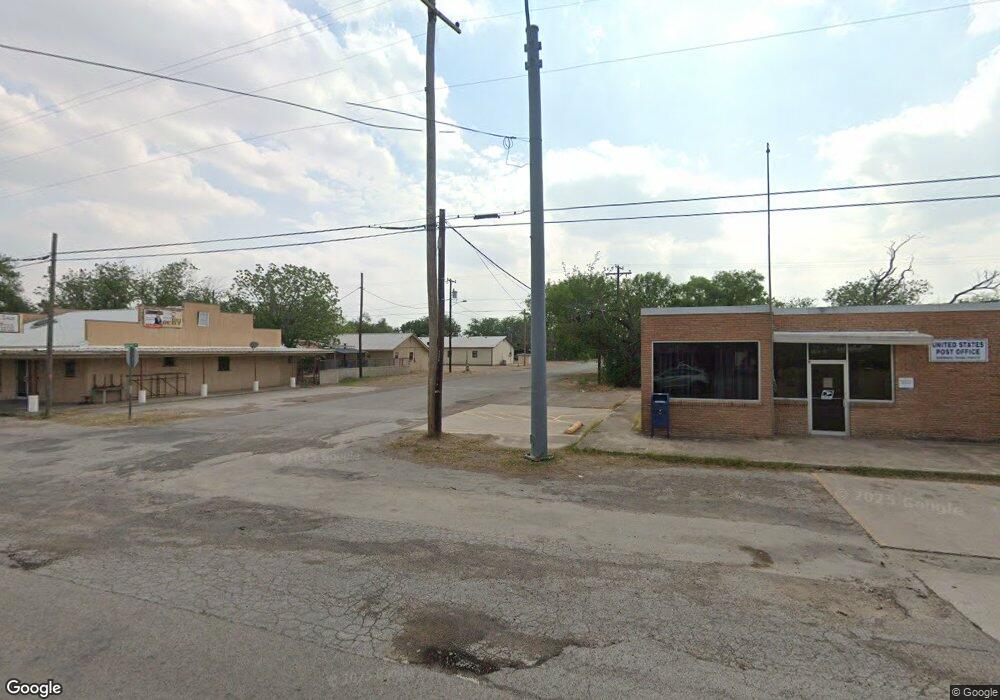
19911 N Us Hwy 277 Unit n/a Quemado, TX 78877
--
Bed
1
Bath
1,104
Sq Ft
2,614
Sq Ft Lot
About This Home
This home is located at 19911 N Us Hwy 277 Unit n/a, Quemado, TX 78877. 19911 N Us Hwy 277 Unit n/a is a home located in Maverick County.
Ownership History
Date
Name
Owned For
Owner Type
Purchase Details
Closed on
Dec 2, 2024
Sold by
Olivares Carlos Andres
Bought by
Olivares Leonel
Purchase Details
Closed on
May 22, 2020
Sold by
Reyes Tony
Bought by
Olivares Carlos Andres
Home Financials for this Owner
Home Financials are based on the most recent Mortgage that was taken out on this home.
Original Mortgage
$29,000
Interest Rate
3.3%
Mortgage Type
Future Advance Clause Open End Mortgage
Purchase Details
Closed on
Dec 9, 2010
Sold by
Hawkins Garland Irwin
Bought by
Reyes Tony
Create a Home Valuation Report for This Property
The Home Valuation Report is an in-depth analysis detailing your home's value as well as a comparison with similar homes in the area
Home Values in the Area
Average Home Value in this Area
Purchase History
| Date | Buyer | Sale Price | Title Company |
|---|---|---|---|
| Olivares Leonel | -- | None Listed On Document | |
| Olivares Leonel | -- | None Listed On Document | |
| Olivares Carlos Andres | -- | None Available | |
| Reyes Tony | -- | None Available |
Source: Public Records
Mortgage History
| Date | Status | Borrower | Loan Amount |
|---|---|---|---|
| Previous Owner | Olivares Carlos Andres | $29,000 |
Source: Public Records
Tax History Compared to Growth
Tax History
| Year | Tax Paid | Tax Assessment Tax Assessment Total Assessment is a certain percentage of the fair market value that is determined by local assessors to be the total taxable value of land and additions on the property. | Land | Improvement |
|---|---|---|---|---|
| 2024 | $368 | $77,637 | $28,750 | $48,887 |
| 2023 | $531 | $38,953 | $28,750 | $10,203 |
| 2022 | $438 | $27,453 | $17,250 | $10,203 |
| 2021 | $239 | $13,038 | $5,750 | $7,288 |
| 2020 | $208 | $11,090 | $5,760 | $5,330 |
| 2019 | $187 | $9,650 | $4,320 | $5,330 |
| 2018 | $65 | $9,650 | $4,320 | $5,330 |
| 2017 | $173 | $9,650 | $4,320 | $5,330 |
| 2016 | $173 | $9,650 | $4,320 | $5,330 |
| 2015 | -- | $5,240 | $4,320 | $920 |
| 2014 | -- | $5,240 | $0 | $0 |
Source: Public Records
Map
Nearby Homes
- 1585 Fm 1664
- 4495 Fm 1664
- 000 U S 277
- 20399 Quemado Ave
- 20100 N Us Hwy 277 Unit N/A
- 385 4th St
- 619 2nd St
- 580 Third St
- 392 Amistad
- 20234 N Us Hwy 277
- 759 Mcdavid Rd
- 10.01 ACRES Abdalla Rd
- 312 County Road 100
- 632 Mays Rd
- 1022 Silver Bridge Rd
- 972 Silver Bridge Rd
- 1398 W Moore Ave
- 1288 Brown Rd
- 31 Fm 1664
- OFF RIZLEY RD Rizley Rd
