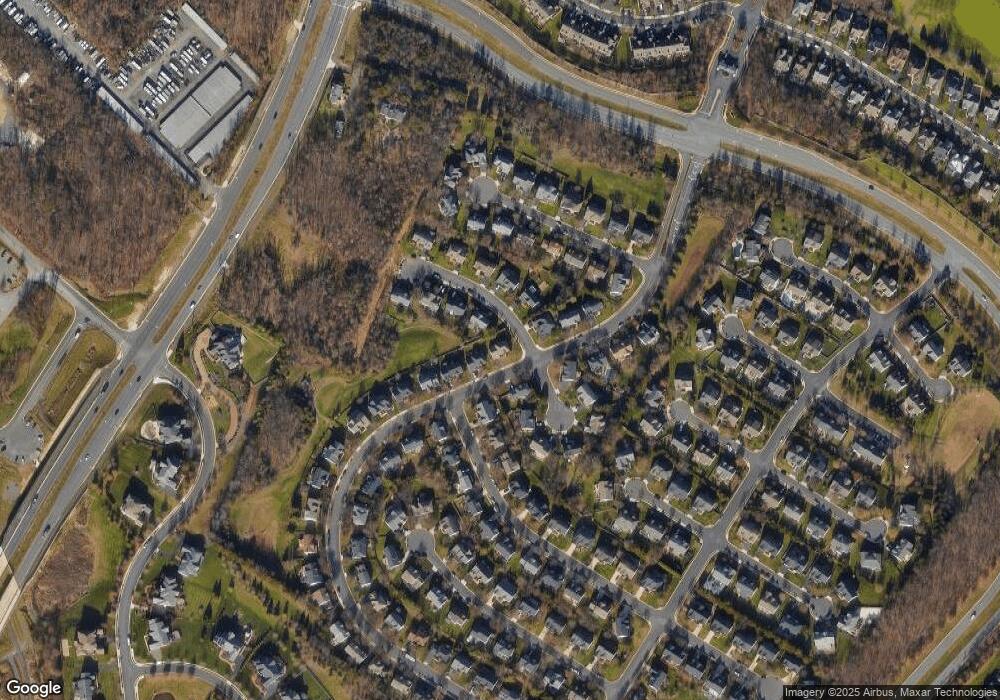
19915 Alexandras Grove Dr Ashburn, VA 20147
Estimated Value: $906,967 - $961,000
4
Beds
3
Baths
2,510
Sq Ft
$372/Sq Ft
Est. Value
About This Home
This home is located at 19915 Alexandras Grove Dr, Ashburn, VA 20147 and is currently estimated at $934,742, approximately $372 per square foot. 19915 Alexandras Grove Dr is a home located in Loudoun County with nearby schools including Newton-Lee Elementary School, Trailside Middle School, and Stone Bridge High.
Ownership History
Date
Name
Owned For
Owner Type
Purchase Details
Closed on
Aug 24, 1998
Sold by
Winchester Homes Inc
Bought by
Liu Ling
Current Estimated Value
Home Financials for this Owner
Home Financials are based on the most recent Mortgage that was taken out on this home.
Original Mortgage
$196,400
Outstanding Balance
$40,901
Interest Rate
6.9%
Estimated Equity
$893,841
Create a Home Valuation Report for This Property
The Home Valuation Report is an in-depth analysis detailing your home's value as well as a comparison with similar homes in the area
Home Values in the Area
Average Home Value in this Area
Purchase History
| Date | Buyer | Sale Price | Title Company |
|---|---|---|---|
| Liu Ling | $243,000 | -- |
Source: Public Records
Mortgage History
| Date | Status | Borrower | Loan Amount |
|---|---|---|---|
| Open | Liu Ling | $196,400 |
Source: Public Records
Tax History Compared to Growth
Tax History
| Year | Tax Paid | Tax Assessment Tax Assessment Total Assessment is a certain percentage of the fair market value that is determined by local assessors to be the total taxable value of land and additions on the property. | Land | Improvement |
|---|---|---|---|---|
| 2025 | $7,047 | $875,460 | $294,900 | $580,560 |
| 2024 | $6,935 | $801,690 | $294,900 | $506,790 |
| 2023 | $6,826 | $780,110 | $294,900 | $485,210 |
| 2022 | $6,506 | $731,040 | $244,900 | $486,140 |
| 2021 | $6,227 | $635,380 | $209,900 | $425,480 |
| 2020 | $6,080 | $587,480 | $209,900 | $377,580 |
| 2019 | $6,051 | $579,040 | $209,900 | $369,140 |
| 2018 | $5,955 | $548,840 | $179,700 | $369,140 |
| 2017 | $5,917 | $525,950 | $179,700 | $346,250 |
| 2016 | $5,868 | $512,460 | $0 | $0 |
| 2015 | $5,957 | $345,130 | $0 | $345,130 |
| 2014 | $5,865 | $328,100 | $0 | $328,100 |
Source: Public Records
Map
Nearby Homes
- 43281 John Danforth Ct
- 43254 Kimberly Anne Ct
- 43213 Somerset Hills Terrace
- 19769 Estancia Terrace
- 43262 Baltusrol Terrace
- 43227 Baltusrol Terrace
- 20121 Prairie Dunes Terrace
- 19883 Naples Lakes Terrace
- 20144 Prairie Dunes Terrace
- 20069 Forest Farm Ln
- 20092 Old Line Terrace
- 43154 Baltusrol Terrace
- 20116 Old Line Terrace
- 20119 Old Line Terrace
- 19685 Stanford Hall Place
- 19595 Aspendale Square
- 20343 Kiawah Island Dr
- 19598 Saratoga Springs Place
- 20310 Bowfonds St
- 20376 Mount Pleasant Terrace
- 19919 Alexandras Grove Dr
- 43225 Lindsay Marie Dr
- 43232 Lindsay Marie Dr
- 19923 Alexandras Grove Dr
- 43221 Lindsay Marie Dr
- 43214 Kathleen Elizabeth Dr
- 43228 Lindsay Marie Dr
- 19912 Leah May Ct
- 43224 Lindsay Marie Dr
- 19907 Alexandras Grove Dr
- 19917 Leah May Ct
- 19927 Alexandras Grove Dr
- 43217 Lindsay Marie Dr
- 43220 Lindsay Marie Dr
- 19903 Alexandras Grove Dr
- 19916 Leah May Ct
- 19906 Alexandras Grove Dr
- 43215 Kathleen Elizabeth Dr
- 43216 Lindsay Marie Dr
- 19931 Alexandras Grove Dr
