1991C Main Rd Westport Point, MA 02791
Westport Point NeighborhoodEstimated Value: $1,011,000 - $1,566,175
2
Beds
--
Bath
1,494
Sq Ft
$876/Sq Ft
Est. Value
About This Home
This home is located at 1991C Main Rd, Westport Point, MA 02791 and is currently estimated at $1,309,294, approximately $876 per square foot. 1991C Main Rd is a home with nearby schools including Alice A. Macomber Primary School, Westport Elementary School, and Westport Middle-High School.
Ownership History
Date
Name
Owned For
Owner Type
Purchase Details
Closed on
Aug 22, 2011
Sold by
Hardian Dewitt T and Hardin Sharon A
Bought by
Becker Greaney Ft and Becker Nancy A
Current Estimated Value
Purchase Details
Closed on
Oct 20, 2004
Sold by
D T Hardi Irt and Hardin D T
Bought by
Hardin Ft Prtnrshp and Hardin Dewitt T
Purchase Details
Closed on
Aug 29, 1994
Sold by
Fhlmc
Bought by
Hardin Dewitt T and Hardin Dewitt T
Purchase Details
Closed on
Nov 10, 1993
Sold by
Bragg A Read and Federal Home Loan Mortgage Cor
Bought by
Fhlmc
Create a Home Valuation Report for This Property
The Home Valuation Report is an in-depth analysis detailing your home's value as well as a comparison with similar homes in the area
Home Values in the Area
Average Home Value in this Area
Purchase History
| Date | Buyer | Sale Price | Title Company |
|---|---|---|---|
| Becker Greaney Ft | $530,000 | -- | |
| Hardin Ft Prtnrshp | -- | -- | |
| Hardin Dewitt T | $42,500 | -- | |
| Fhlmc | $100,000 | -- |
Source: Public Records
Mortgage History
| Date | Status | Borrower | Loan Amount |
|---|---|---|---|
| Previous Owner | Fhlmc | $144,800 |
Source: Public Records
Tax History Compared to Growth
Tax History
| Year | Tax Paid | Tax Assessment Tax Assessment Total Assessment is a certain percentage of the fair market value that is determined by local assessors to be the total taxable value of land and additions on the property. | Land | Improvement |
|---|---|---|---|---|
| 2025 | $8,082 | $1,084,800 | $746,500 | $338,300 |
| 2024 | $7,902 | $1,022,300 | $691,600 | $330,700 |
| 2023 | $7,211 | $883,700 | $562,900 | $320,800 |
| 2022 | $6,978 | $822,900 | $538,900 | $284,000 |
| 2021 | $6,390 | $741,300 | $457,300 | $284,000 |
| 2020 | $6,095 | $723,000 | $439,000 | $284,000 |
| 2019 | $5,924 | $716,300 | $439,000 | $277,300 |
| 2018 | $5,725 | $700,700 | $410,000 | $290,700 |
| 2017 | $5,565 | $698,300 | $410,000 | $288,300 |
| 2016 | $5,364 | $678,100 | $410,000 | $268,100 |
| 2015 | $5,405 | $681,600 | $421,100 | $260,500 |
Source: Public Records
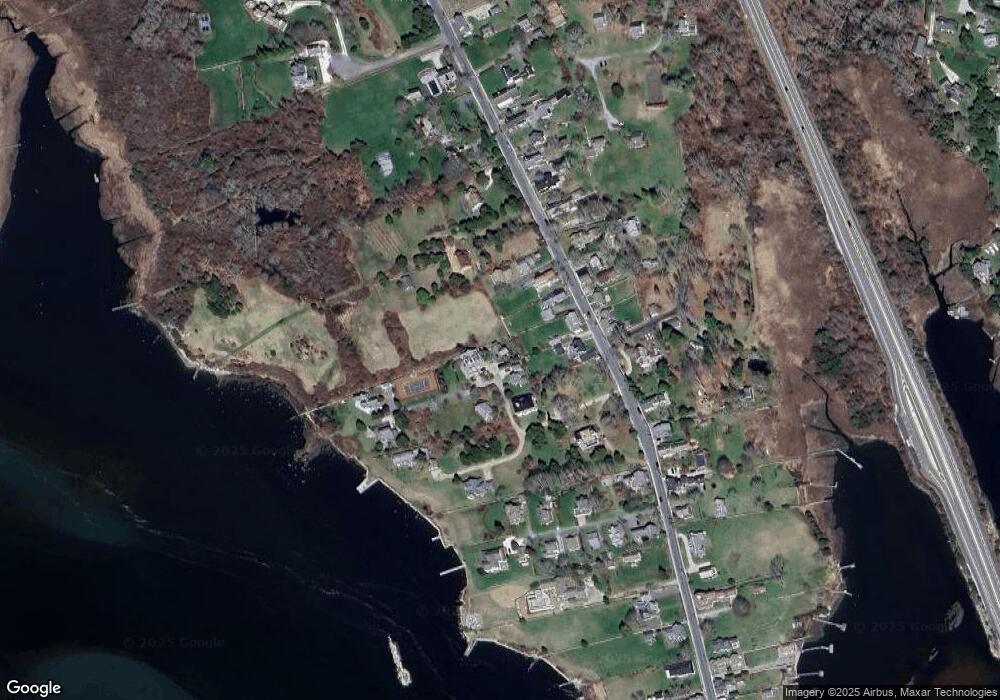
Map
Nearby Homes
- 1881 Main Rd
- 1749 Main Rd
- 1702J Drift Rd
- 1702 Drift Rd
- 1580 Main Rd
- 19 Seabury Ln
- 1346 Main Rd Unit B
- 99 Sylvia Ln
- 238-242 E Beach Rd
- 189 Brayton Point Rd
- 304 Brayton Point Rd
- 255 John Dyer Rd
- Lot 2 Horseneck Rd
- 245 John Dyer Rd
- 225 Hixbridge Rd
- 920 Drift Rd
- 17 Quail Trail
- 101 Adamsville Rd
- Lot 2E Horseneck Rd
- 837 Main Rd
- 1985F Main Rd
- 1991B Main Rd Unit VAC RENTAL
- 1991B Main Rd Unit WEEKLY
- 1991B Main Rd Unit WINTER
- 1991B Main Rd
- 1993 Main Rd
- 1991B Main Rd Unit WEEKLY
- 1991B Main Rd Unit WINTER RENT
- 1971 Main Rd
- 1965 Main Rd
- 1977 Main Rd
- 1973 Main Rd
- 1977 Main Road U: Weekly
- 1967 Main Rd
- 1963 Main Rd
- 0 Hillside Ave
- 1985 Main Rd
- 1985 Main Rd
- 1959 Main Rd
- 1970 Main Rd