1991D Main Rd Westport Point, MA 02791
Westport Point NeighborhoodEstimated Value: $1,747,000 - $2,421,164
5
Beds
--
Bath
2,874
Sq Ft
$704/Sq Ft
Est. Value
About This Home
This home is located at 1991D Main Rd, Westport Point, MA 02791 and is currently estimated at $2,023,721, approximately $704 per square foot. 1991D Main Rd is a home with nearby schools including Alice A. Macomber Primary School, Westport Elementary School, and Westport Middle-High School.
Ownership History
Date
Name
Owned For
Owner Type
Purchase Details
Closed on
Jul 17, 2018
Sold by
Streeten John and Streeten Robert D
Bought by
Westport House Llc
Current Estimated Value
Purchase Details
Closed on
Jan 25, 2018
Sold by
Streeten Barbara W Est
Bought by
Streeten John and Streeten Robert D
Create a Home Valuation Report for This Property
The Home Valuation Report is an in-depth analysis detailing your home's value as well as a comparison with similar homes in the area
Home Values in the Area
Average Home Value in this Area
Purchase History
| Date | Buyer | Sale Price | Title Company |
|---|---|---|---|
| Westport House Llc | -- | -- | |
| Streeten John | -- | -- | |
| Wiard-Streeten Barbara A | -- | -- |
Source: Public Records
Tax History Compared to Growth
Tax History
| Year | Tax Paid | Tax Assessment Tax Assessment Total Assessment is a certain percentage of the fair market value that is determined by local assessors to be the total taxable value of land and additions on the property. | Land | Improvement |
|---|---|---|---|---|
| 2025 | $16,108 | $2,162,100 | $1,657,600 | $504,500 |
| 2024 | $13,134 | $1,699,100 | $1,203,600 | $495,500 |
| 2023 | $13,312 | $1,631,400 | $1,150,000 | $481,400 |
| 2022 | $11,713 | $1,381,300 | $1,002,500 | $378,800 |
| 2021 | $10,439 | $1,211,000 | $877,100 | $333,900 |
| 2020 | $9,935 | $1,178,500 | $844,600 | $333,900 |
| 2019 | $9,870 | $1,193,500 | $844,600 | $348,900 |
| 2018 | $10,833 | $1,325,900 | $980,600 | $345,300 |
| 2017 | $10,670 | $1,338,800 | $980,600 | $358,200 |
| 2016 | $10,483 | $1,325,300 | $967,100 | $358,200 |
| 2015 | $10,334 | $1,303,200 | $967,100 | $336,100 |
Source: Public Records
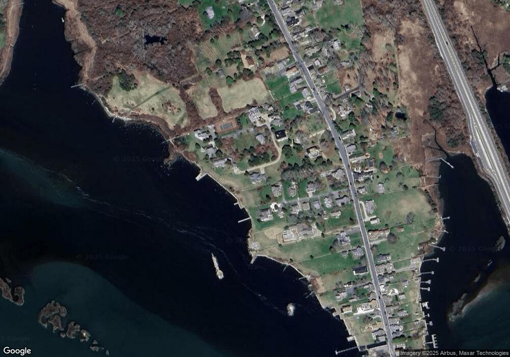
Map
Nearby Homes
- 1881 Main Rd
- 0 Reed Rd (Ss)
- 1749 Main Rd
- 1702J Drift Rd
- 1702 Drift Rd
- 1580 Main Rd
- 19 Seabury Ln
- 1346 Main Rd Unit B
- 99 Sylvia Ln
- 238-242 E Beach Rd
- 189 Brayton Point Rd
- 304 Brayton Point Rd
- 255 John Dyer Rd
- Lot 2 Horseneck Rd
- 245 John Dyer Rd
- 225 Hixbridge Rd
- 17 Quail Trail
- 920 Drift Rd
- 101 Adamsville Rd
- Lot 2E Horseneck Rd
- 21 Valentine Ln
- 0 Hillside Ave
- 17 Valentine Ln
- 24 Valentine Ln
- 1985C Main Rd
- 1993 Main Rd
- 1991B Main Rd Unit WEEKLY
- 1991B Main Rd Unit WINTER RENT
- 1985 Main Rd
- 1991B Main Rd Unit VAC RENTAL
- 1991B Main Rd Unit WEEKLY
- 1991B Main Rd Unit WINTER
- 1985 Main Rd
- 1991B Main Rd
- 16 Valentine Ln
- 11 Valentine Ln
- 14 Valentine Ln
- 1991 Main Rd Unit WINTER '22
- 1985F Main Rd
- 10 Valentine Ln