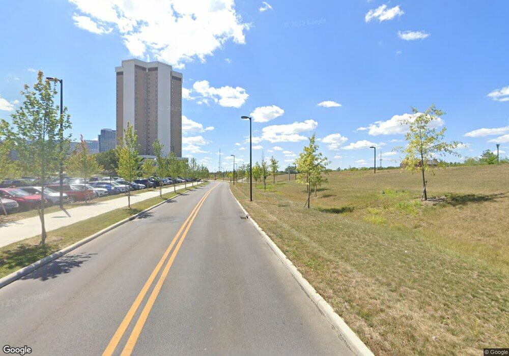
1992 Cannon Dr Unit 19D Columbus, OH 43210
Estimated Value: $205,598 - $223,000
2
Beds
2
Baths
1,024
Sq Ft
$210/Sq Ft
Est. Value
About This Home
This home is located at 1992 Cannon Dr Unit 19D, Columbus, OH 43210 and is currently estimated at $215,150, approximately $210 per square foot. 1992 Cannon Dr Unit 19D is a home located in Franklin County with nearby schools including Hubbard Elementary School, Dominion Middle School, and Whetstone High School.
Ownership History
Date
Name
Owned For
Owner Type
Purchase Details
Closed on
Jun 30, 2022
Sold by
Jones Benjamin J
Bought by
Akharaz Brahim and Akharaz Evelen
Current Estimated Value
Home Financials for this Owner
Home Financials are based on the most recent Mortgage that was taken out on this home.
Original Mortgage
$156,000
Outstanding Balance
$148,367
Interest Rate
5.38%
Mortgage Type
New Conventional
Estimated Equity
$66,783
Purchase Details
Closed on
May 5, 2017
Sold by
Washburn Ricco Carlos and Taylor Sara Beth
Bought by
Jones Benjamin J
Purchase Details
Closed on
Jul 3, 2015
Sold by
Blacks Real Estate Group Llc
Bought by
Taylor Sara Beth and Washburn Ricco Carlos
Purchase Details
Closed on
Feb 15, 2015
Sold by
Ricco Waashburn
Bought by
Blacks Real Estate Group Llc
Purchase Details
Closed on
Jan 14, 2009
Sold by
Fifth Third Mortgage Company
Bought by
Washburn Ricco
Purchase Details
Closed on
Nov 7, 2008
Sold by
Callendar Johnathan D
Bought by
Fifth Third Mortgage Company
Purchase Details
Closed on
May 27, 2004
Sold by
Jackson Chris A and Jackson Olivia Brooks
Bought by
Callender Johnathan D and Omen Anna L
Home Financials for this Owner
Home Financials are based on the most recent Mortgage that was taken out on this home.
Original Mortgage
$86,500
Interest Rate
6.06%
Mortgage Type
Purchase Money Mortgage
Purchase Details
Closed on
Feb 28, 2000
Sold by
Bevins David A and Bevins Kelle M
Bought by
Jackson Chris A and Jackson Olivia Brooks
Home Financials for this Owner
Home Financials are based on the most recent Mortgage that was taken out on this home.
Original Mortgage
$68,780
Interest Rate
7.62%
Mortgage Type
Purchase Money Mortgage
Purchase Details
Closed on
Dec 23, 1992
Bought by
Bevins David A and Bevins Kelle M
Create a Home Valuation Report for This Property
The Home Valuation Report is an in-depth analysis detailing your home's value as well as a comparison with similar homes in the area
Home Values in the Area
Average Home Value in this Area
Purchase History
| Date | Buyer | Sale Price | Title Company |
|---|---|---|---|
| Akharaz Brahim | $195,000 | New Title Company Name | |
| Jones Benjamin J | $103,800 | None Available | |
| Taylor Sara Beth | -- | None Available | |
| Blacks Real Estate Group Llc | -- | None Available | |
| Washburn Ricco | $64,000 | Prism Titl | |
| Fifth Third Mortgage Company | $83,000 | Ohio Title | |
| Callender Johnathan D | $86,500 | -- | |
| Jackson Chris A | $72,400 | -- | |
| Bevins David A | $60,700 | -- |
Source: Public Records
Mortgage History
| Date | Status | Borrower | Loan Amount |
|---|---|---|---|
| Open | Akharaz Brahim | $156,000 | |
| Previous Owner | Callender Johnathan D | $86,500 | |
| Previous Owner | Jackson Chris A | $68,780 |
Source: Public Records
Tax History Compared to Growth
Tax History
| Year | Tax Paid | Tax Assessment Tax Assessment Total Assessment is a certain percentage of the fair market value that is determined by local assessors to be the total taxable value of land and additions on the property. | Land | Improvement |
|---|---|---|---|---|
| 2024 | $3,501 | $61,990 | $12,250 | $49,740 |
| 2023 | $3,033 | $61,990 | $12,250 | $49,740 |
| 2022 | $2,633 | $42,040 | $6,580 | $35,460 |
| 2021 | $2,566 | $42,040 | $6,580 | $35,460 |
| 2020 | $2,559 | $42,040 | $6,580 | $35,460 |
| 2019 | $2,395 | $33,600 | $5,250 | $28,350 |
| 2018 | $2,276 | $33,600 | $5,250 | $28,350 |
| 2017 | $2,448 | $33,600 | $5,250 | $28,350 |
| 2016 | $2,424 | $30,170 | $7,000 | $23,170 |
| 2015 | $2,167 | $30,170 | $7,000 | $23,170 |
| 2014 | $2,171 | $30,170 | $7,000 | $23,170 |
| 2013 | $1,100 | $30,170 | $7,000 | $23,170 |
Source: Public Records
Map
Nearby Homes
- 2394 Neil Ave
- 9 E Norwich Ave Unit 15
- 6 E Blake Ave
- 217 E Oakland Ave
- 1878 Kenny Rd
- 223 E Patterson Ave
- 2683 Neil Ave Unit 685
- 223-225 E Maynard Ave
- 261 E Northwood Ave Unit 40
- 2127 Indiana Ave
- 204 E Blake Ave Unit 206
- 343 King Ave Unit 345
- 241 E Blake Ave
- 396 W 7th Ave
- 1777 Summit St
- 1438-1440 Hunter Ave
- 2103 Iuka Ave
- 2537 Medary Ave Unit 539
- 1060 Sells Ave Unit 104
- 170 Chittenden Ave Unit 168
- 1990 Cannon Dr Unit 19E
- 1994 Cannon Dr Unit 19C
- 1986 Cannon Dr Unit 18A
- 1996 Cannon Dr
- 1984 Cannon Dr
- 1998 Cannon Dr Unit 19A
- 1982 Cannon Dr Unit 18C
- 1980 Cannon Dr
- 1968 Cannon Dr Unit 14A
- 1966 Cannon Dr Unit 14B
- 1964 Cannon Dr Unit 14C
- 1962 Cannon Dr Unit 14D
- 1960 Cannon Dr
- 012 Business Opportunity
- 01 Business Opportunity
- 369 W Lane Ave Unit 912
- 316 W Lane Ave
- 318 Annie and John Glenn Ave
- 364 W Lane Ave Unit 26
- 364 W Lane Ave Unit 933
