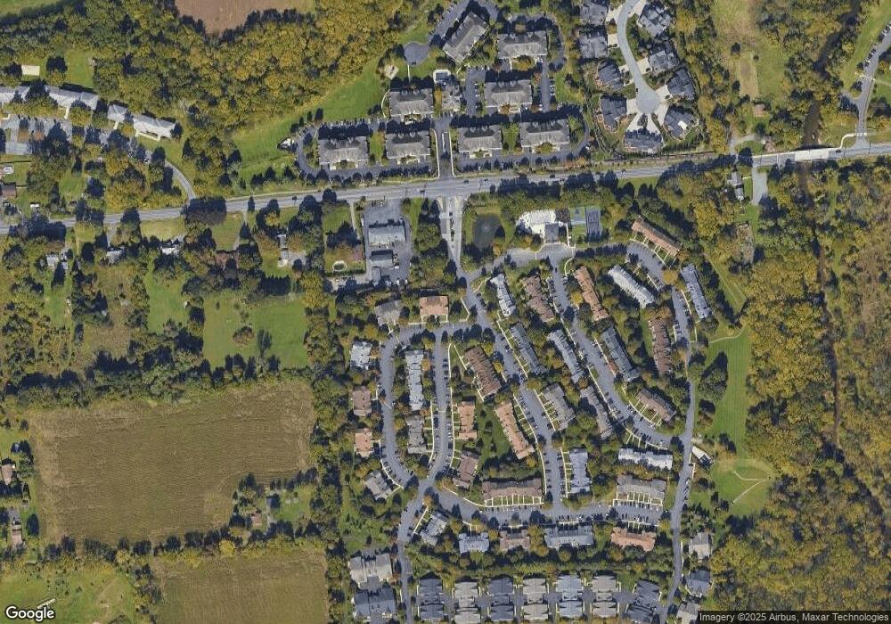
1992 Mattis St Hellertown, PA 18055
Estimated Value: $250,955 - $289,000
2
Beds
2
Baths
1,263
Sq Ft
$214/Sq Ft
Est. Value
About This Home
This home is located at 1992 Mattis St, Hellertown, PA 18055 and is currently estimated at $269,978, approximately $213 per square foot. 1992 Mattis St is a home located in Northampton County with nearby schools including Saucon Valley Elementary School, Saucon Valley Senior High School, and Lehigh Valley Dual Language Charter School.
Ownership History
Date
Name
Owned For
Owner Type
Purchase Details
Closed on
Aug 1, 2024
Sold by
Ribeiro Antonio B and Ribeiro Maria T
Bought by
Ribeiro Richard A
Current Estimated Value
Purchase Details
Closed on
Sep 16, 2011
Sold by
Treible Herbert R and Fernandez Adolfina
Bought by
Ribeiro Antonio B and Ribeiro Maria T
Purchase Details
Closed on
Apr 11, 2011
Sold by
Treible Herbert R and Fernandez Adolfina
Bought by
Treible Herbert R and Fernandez Adolfina
Purchase Details
Closed on
Jul 1, 2010
Sold by
Breisch Helen Huber and Hartzell Carole M
Bought by
Treible Herbert R and Fernandez Adolfina
Create a Home Valuation Report for This Property
The Home Valuation Report is an in-depth analysis detailing your home's value as well as a comparison with similar homes in the area
Home Values in the Area
Average Home Value in this Area
Purchase History
| Date | Buyer | Sale Price | Title Company |
|---|---|---|---|
| Ribeiro Richard A | -- | None Listed On Document | |
| Ribeiro Richard A | -- | None Listed On Document | |
| Ribeiro Antonio B | $125,500 | None Available | |
| Treible Herbert R | -- | None Available | |
| Treible Herbert R | $148,000 | None Available |
Source: Public Records
Tax History
| Year | Tax Paid | Tax Assessment Tax Assessment Total Assessment is a certain percentage of the fair market value that is determined by local assessors to be the total taxable value of land and additions on the property. | Land | Improvement |
|---|---|---|---|---|
| 2025 | $450 | $41,700 | $0 | $41,700 |
| 2024 | $2,944 | $41,700 | $0 | $41,700 |
| 2023 | $2,944 | $41,700 | $0 | $41,700 |
| 2022 | $2,893 | $41,700 | $0 | $41,700 |
| 2021 | $2,934 | $41,700 | $0 | $41,700 |
| 2020 | $2,987 | $41,700 | $0 | $41,700 |
| 2019 | $2,987 | $41,700 | $0 | $41,700 |
| 2018 | $2,949 | $41,700 | $0 | $41,700 |
| 2017 | $2,874 | $41,700 | $0 | $41,700 |
| 2016 | -- | $41,700 | $0 | $41,700 |
| 2015 | -- | $41,700 | $0 | $41,700 |
| 2014 | -- | $41,700 | $0 | $41,700 |
Source: Public Records
Map
Nearby Homes
- 1950 Chancellor St
- 1826 Mansfield St
- 1931 Meadows Rd
- 2055 Forge Run
- 1895 Gregory Place
- 2105 Creek Rd
- 1866 Gregory Place
- 1881 Jeanine Way
- 1790 Friedensville Rd
- 139 Main St
- 1027 1st Ave
- 1970 Carriage Knoll Dr
- 1030 New Jersey Ave
- 1997 W Point Dr
- 1379 Washington St
- 1377 Washington St
- 1975 Herbert St
- 1345 New Jersey Ave
- 84 Hess Ave
- 457 Maple Rd
- 1994 Mattis St
- 1984 Mattis St
- 1988 Mattis St Unit 1988 Mattis
- 1988 Mattis St
- 1986 Mattis St
- 1982 Mattis St
- 1980 Mattis St
- 1978 Mattis St
- 1974 Mattis St
- 1981 Willings Ln
- 1948 Delancey St
- 1970 Mattis St
- 1979 Willings Ln
- 1977 Willings Ln
- 1972 Mattis St
- 1968 Mattis St
- 1984 Willings Ln
- 1982 Willings Ln Unit Hellertown PA Societ
- 1973 Delancey St
- 1967 Delancey St
Your Personal Tour Guide
Ask me questions while you tour the home.
