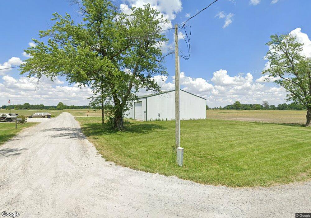
1992 S 575 E Whitestown, IN 46075
Estimated Value: $352,000 - $2,542,000
4
Beds
2
Baths
1,700
Sq Ft
$675/Sq Ft
Est. Value
About This Home
This home is located at 1992 S 575 E, Whitestown, IN 46075 and is currently estimated at $1,148,081, approximately $675 per square foot. 1992 S 575 E is a home located in Boone County with nearby schools including Perry Worth Elementary School, Lebanon Middle School, and Lebanon Senior High School.
Ownership History
Date
Name
Owned For
Owner Type
Purchase Details
Closed on
Jan 29, 2019
Sold by
Martin Farms Family Partnership
Bought by
Mico Farms Llc
Current Estimated Value
Purchase Details
Closed on
Dec 28, 2018
Sold by
Merlin E Matin Family Lp
Bought by
Martin Merlin E and Mundt Nancy
Purchase Details
Closed on
Dec 8, 2018
Sold by
Martin Merlin E and Mundt Nancy
Bought by
Martin Farms Family Partnership
Purchase Details
Closed on
May 4, 2018
Sold by
Lemenager Keevin M
Bought by
Lemenager Keevin M and Lemenager April
Purchase Details
Closed on
Dec 14, 2012
Sold by
Maplelawn Land Llc
Bought by
Lemenager Keevin M
Create a Home Valuation Report for This Property
The Home Valuation Report is an in-depth analysis detailing your home's value as well as a comparison with similar homes in the area
Home Values in the Area
Average Home Value in this Area
Purchase History
| Date | Buyer | Sale Price | Title Company |
|---|---|---|---|
| Mico Farms Llc | -- | None Available | |
| Martin Merlin E | -- | None Available | |
| Martin Farms Family Partnership | -- | None Available | |
| Lemenager Keevin M | -- | -- | |
| Lemenager Keevin M | -- | None Available |
Source: Public Records
Tax History
| Year | Tax Paid | Tax Assessment Tax Assessment Total Assessment is a certain percentage of the fair market value that is determined by local assessors to be the total taxable value of land and additions on the property. | Land | Improvement |
|---|---|---|---|---|
| 2025 | $7,270 | $384,300 | $246,900 | $137,400 |
| 2024 | $7,270 | $446,400 | $311,100 | $135,300 |
| 2023 | $6,519 | $395,500 | $265,100 | $130,400 |
| 2022 | $6,292 | $370,900 | $216,700 | $154,200 |
| 2021 | $5,727 | $320,400 | $191,200 | $129,200 |
| 2020 | $5,551 | $313,200 | $190,000 | $123,200 |
| 2019 | $5,439 | $338,400 | $224,000 | $114,400 |
| 2018 | $6,183 | $342,000 | $230,000 | $112,000 |
| 2017 | $6,488 | $369,000 | $259,000 | $110,000 |
| 2016 | $6,929 | $373,000 | $272,300 | $100,700 |
| 2014 | $6,435 | $364,100 | $283,200 | $80,900 |
| 2013 | $5,692 | $329,100 | $248,200 | $80,900 |
Source: Public Records
Map
Nearby Homes
- 5236 E 200 S
- 5100 E 200 S
- 5151 150 S
- 6184 Flag Stop Dr
- 2539 Kingman Dr
- 6177 Flag Stop Dr
- 6240 Flag Stop Dr
- 2556 Redding Dr
- 2630 Nampa Dr
- 6264 Flag Stop Dr
- 6225 Flag Stop Dr
- 2600 Kingman Dr
- 6288 Flag Stop Dr
- 6289 Flag Stop Dr
- 2600 Redding Dr
- 2698 Nampa Dr
- 6390 Flag Stop Dr
- 2562 Maricopa Blvd
- 2543 Maricopa Blvd
- 6211 Wasco Dr
Your Personal Tour Guide
Ask me questions while you tour the home.