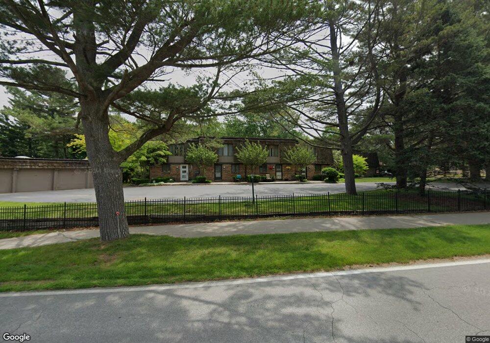
1992 S Shore Dr Unit 4 Holland, MI 49423
Estimated Value: $302,000 - $350,000
2
Beds
1
Bath
1,596
Sq Ft
$202/Sq Ft
Est. Value
About This Home
This home is located at 1992 S Shore Dr Unit 4, Holland, MI 49423 and is currently estimated at $322,090, approximately $201 per square foot. 1992 S Shore Dr Unit 4 is a home located in Ottawa County with nearby schools including Holland High School, Vanderbilt Charter Academy, and Calvary Schools of Holland - Plasman Campus.
Ownership History
Date
Name
Owned For
Owner Type
Purchase Details
Closed on
Jun 16, 2023
Sold by
Sligh Charles R
Bought by
Sligh Charles R
Current Estimated Value
Purchase Details
Closed on
Sep 13, 2006
Sold by
Sligh Marilyn F
Bought by
Sligh Charles R
Home Financials for this Owner
Home Financials are based on the most recent Mortgage that was taken out on this home.
Original Mortgage
$84,000
Interest Rate
6.59%
Mortgage Type
Purchase Money Mortgage
Create a Home Valuation Report for This Property
The Home Valuation Report is an in-depth analysis detailing your home's value as well as a comparison with similar homes in the area
Home Values in the Area
Average Home Value in this Area
Purchase History
| Date | Buyer | Sale Price | Title Company |
|---|---|---|---|
| Sligh Charles R | -- | None Listed On Document | |
| Sligh Charles R | $105,000 | Lighthouse Title Inc |
Source: Public Records
Mortgage History
| Date | Status | Borrower | Loan Amount |
|---|---|---|---|
| Previous Owner | Sligh Charles R | $84,000 |
Source: Public Records
Tax History Compared to Growth
Tax History
| Year | Tax Paid | Tax Assessment Tax Assessment Total Assessment is a certain percentage of the fair market value that is determined by local assessors to be the total taxable value of land and additions on the property. | Land | Improvement |
|---|---|---|---|---|
| 2025 | $1,883 | $137,100 | $0 | $0 |
| 2024 | $1,231 | $131,500 | $0 | $0 |
| 2023 | $1,181 | $104,600 | $0 | $0 |
| 2022 | $1,686 | $88,600 | $0 | $0 |
| 2021 | $1,645 | $84,700 | $0 | $0 |
| 2020 | $1,650 | $79,500 | $0 | $0 |
| 2019 | $1,688 | $77,100 | $0 | $0 |
| 2018 | $1,550 | $70,300 | $0 | $0 |
| 2017 | $1,538 | $70,300 | $0 | $0 |
| 2016 | $1,527 | $50,100 | $0 | $0 |
| 2015 | -- | $49,800 | $0 | $0 |
| 2014 | -- | $53,500 | $0 | $0 |
Source: Public Records
Map
Nearby Homes
- 1992 S Shore Dr Unit 2
- 1992 S Shore Dr Unit 3
- 1982 S Shore Dr Unit 2
- 1995 N Shorewood Ln Unit 2
- 1981 N Shorewood Ln Unit 6
- The Andover 3 Plan at Shorewood Lane
- The Andover 2 Plan at Shorewood Lane
- Andover Plan at Shorewood Lane
- 1991 N Shorewood Ln Unit 4
- 1968 S Shorewood Ln Unit 14
- 1933 S Shore Dr
- 6579 Partridge Ln
- 1761 S Shore Dr
- 6621 Forest Beach Dr
- 1704 Summit St
- 645 Harrington Ave
- 4679 Forest Ridge Dr Unit 29
- 2312 Maksaba Trail
- 4681 Forest Ridge Dr
- 2063 Ottawa Beach Rd
- 1992 S Shore Dr Unit 1
- 1992 S Shore Dr
- 1982 S Shore Dr Unit 1
- 1982 S Shore Dr Unit 3
- 1982 S Shore Dr
- 1972 S Shore Dr Unit 3
- 1972 S Shore Dr Unit 1
- 1972 S Shore Dr Unit 4
- 1972 S South Shore Dr Unit 3
- 1972 S Shore Dr
- 1972 S Shore Dr Unit 6
- 1966 S Shore Dr Unit 4
- 1966 S Shore Dr Unit 3
- 1966 S Shore Dr Unit 2
- 1966 S Shore Dr
- 2000 Scotch Dr
- 1995 N Shorewood Ln Unit 1
- 1995 N Shorewood Ln
- 1987 S Shore Dr
- 694 Eastern Ave