1992 Sandy Hook Rd Goochland, VA 23063
Estimated Value: $406,000 - $540,000
2
Beds
1
Bath
1,234
Sq Ft
$375/Sq Ft
Est. Value
About This Home
This home is located at 1992 Sandy Hook Rd, Goochland, VA 23063 and is currently estimated at $463,350, approximately $375 per square foot. 1992 Sandy Hook Rd is a home located in Goochland County with nearby schools including Goochland Middle School and Goochland High School.
Ownership History
Date
Name
Owned For
Owner Type
Purchase Details
Closed on
Jul 23, 2007
Sold by
Reese Steve
Bought by
Lentz John and Lentz Shannon
Current Estimated Value
Home Financials for this Owner
Home Financials are based on the most recent Mortgage that was taken out on this home.
Original Mortgage
$112,000
Outstanding Balance
$71,345
Interest Rate
6.87%
Mortgage Type
New Conventional
Estimated Equity
$392,005
Create a Home Valuation Report for This Property
The Home Valuation Report is an in-depth analysis detailing your home's value as well as a comparison with similar homes in the area
Home Values in the Area
Average Home Value in this Area
Purchase History
| Date | Buyer | Sale Price | Title Company |
|---|---|---|---|
| Lentz John | $140,000 | None Available |
Source: Public Records
Mortgage History
| Date | Status | Borrower | Loan Amount |
|---|---|---|---|
| Open | Lentz John | $112,000 |
Source: Public Records
Tax History Compared to Growth
Tax History
| Year | Tax Paid | Tax Assessment Tax Assessment Total Assessment is a certain percentage of the fair market value that is determined by local assessors to be the total taxable value of land and additions on the property. | Land | Improvement |
|---|---|---|---|---|
| 2025 | $1,937 | $365,400 | $97,600 | $267,800 |
| 2024 | $1,790 | $337,700 | $86,700 | $251,000 |
| 2023 | $1,727 | $325,800 | $81,800 | $244,000 |
| 2022 | $1,630 | $307,500 | $79,800 | $227,700 |
| 2021 | $1,386 | $261,500 | $72,100 | $189,400 |
| 2020 | $1,263 | $247,500 | $69,300 | $178,200 |
| 2019 | $1,263 | $238,300 | $68,300 | $170,000 |
| 2018 | $1,194 | $205,600 | $66,300 | $139,300 |
| 2017 | $1,161 | $221,300 | $66,300 | $155,000 |
| 2016 | $575 | $216,900 | $61,900 | $155,000 |
| 2015 | $893 | $125,500 | $61,900 | $63,600 |
| 2014 | -- | $126,300 | $62,300 | $64,000 |
Source: Public Records
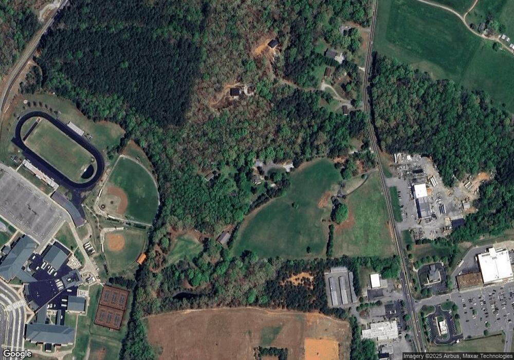
Map
Nearby Homes
- 3067 Miller Farm Dr
- 3092 Reed Marsh Dr
- 3078 Miller Farm Way
- 2515 Crest Hollow Ct
- 3065 Miller Farm Way
- 1711 Reed Marsh Ln
- 3030 River Rd W
- 924 Newsome Ct
- 908 Newsome Ct
- 3105 Kensington Ln
- TBD Kensington Ln
- 3102 Kensington Ln
- TBD Ln
- Mallory Plan at Kensington Creek
- Randolph Plan at Kensington Creek
- Orchard Plan at Kensington Creek
- Windsor Plan at Kensington Creek
- Crenshaw Plan at Kensington Creek
- Stratford Plan at Kensington Creek
- Leigh Plan at Kensington Creek
- 1994 Sandy Hook Rd
- 1990 Sandy Hook Rd
- 3101 Rosemoore Ln
- 1998 Sandy Hook Rd
- 2000 Sandy Hook Rd
- 2004 Sandy Hook Rd
- 1950 Sandy Hook Rd
- 2010 Sandy Hook Rd
- 1954 Sandy Hook Rd
- 1956 Sandy Hook Rd
- 2016 Sandy Hook Rd
- 1949 Sandy Hook Rd
- 1940 Sandy Hook Rd
- 3203 Three Jay Ln
- 1961 Sandy Hook Rd
- 1930 Sandy Hook Rd
- 3200 Three Jay Ln
- 3 Jay Ln
- 1926 Sandy Hook Rd
- 3220 River Rd W