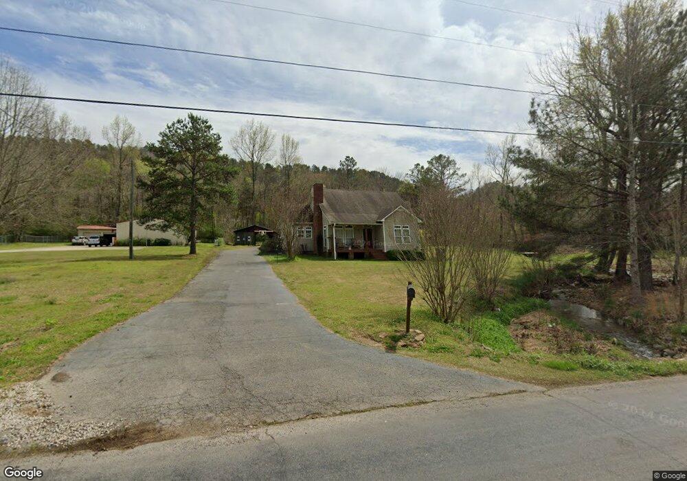
19920 Remlap Dr Remlap, AL 35133
Estimated Value: $195,193 - $287,000
Studio
--
Bath
1,398
Sq Ft
$174/Sq Ft
Est. Value
About This Home
This home is located at 19920 Remlap Dr, Remlap, AL 35133 and is currently estimated at $243,548, approximately $174 per square foot. 19920 Remlap Dr is a home located in Blount County with nearby schools including Southeastern Elementary School.
Ownership History
Date
Name
Owned For
Owner Type
Purchase Details
Closed on
Jun 14, 2017
Sold by
Gilham Karen J
Bought by
Gilham Karen J
Current Estimated Value
Home Financials for this Owner
Home Financials are based on the most recent Mortgage that was taken out on this home.
Original Mortgage
$138,380
Outstanding Balance
$92,295
Interest Rate
4.4%
Mortgage Type
FHA
Estimated Equity
$151,253
Purchase Details
Closed on
Nov 18, 2005
Sold by
Startley Brenda G
Bought by
Dodson Karen J
Home Financials for this Owner
Home Financials are based on the most recent Mortgage that was taken out on this home.
Original Mortgage
$104,000
Interest Rate
6.04%
Mortgage Type
Purchase Money Mortgage
Create a Home Valuation Report for This Property
The Home Valuation Report is an in-depth analysis detailing your home's value as well as a comparison with similar homes in the area
Purchase History
We collect this data history from publicly available records. To have your information removed, we recommend requesting removal directly through your county’s website.
| Date | Buyer | Sale Price | Title Company |
|---|---|---|---|
| Gilham Karen J | -- | -- | |
| Dodson Karen J | $130,000 | -- |
Source: Public Records
Mortgage History
We collect this data history from publicly available records. To have your information removed, we recommend requesting removal directly through your county’s website.
| Date | Status | Borrower | Loan Amount |
|---|---|---|---|
| Open | Gilham Karen J | $138,380 | |
| Previous Owner | Dodson Karen J | $104,000 |
Source: Public Records
Tax History
| Year | Tax Paid | Tax Assessment Tax Assessment Total Assessment is a certain percentage of the fair market value that is determined by local assessors to be the total taxable value of land and additions on the property. | Land | Improvement |
|---|---|---|---|---|
| 2025 | $521 | $17,820 | $0 | $0 |
| 2024 | $521 | $18,240 | $2,700 | $15,540 |
| 2023 | $535 | $18,480 | $2,540 | $15,940 |
| 2022 | $450 | $15,620 | $2,540 | $13,080 |
| 2021 | $411 | $12,660 | $1,820 | $10,840 |
| 2020 | $402 | $12,480 | $1,740 | $10,740 |
| 2019 | $406 | $12,480 | $1,740 | $10,740 |
| 2018 | $421 | $12,960 | $3,000 | $9,960 |
| 2017 | $353 | $0 | $0 | $0 |
| 2015 | $354 | $12,680 | $0 | $0 |
| 2014 | -- | $12,680 | $0 | $0 |
| 2013 | -- | $12,900 | $0 | $0 |
Source: Public Records
Map
Nearby Homes
- 0 Lost Creek Cir
- 00 Alabama 75
- 18160 State Highway 75
- 17935 State Highway 75
- 17210 Remlap Dr
- 585 Dogwood Trail
- 111 Bob Smith Rd
- 3934 Red Valley Rd
- 1158 Armstrong Rd
- 707 Saint Andrews Pkwy
- 696 Pine Mountain Rd
- Lot 104 Muirfield Cir
- 0 Remlap Dr Unit 21404568
- 133 Robinwood Dr
- 39 Robinwood Dr
- 4546 Pine Mountain Rd
- 1166 Saint Andrews Pkwy
- 3409 Red Valley Rd
- 1410 Saint Andrews Pkwy
- 131 Kathy Ln
- 19956 Remlap Dr
- 15 Valley Grove Rd
- 326 Lost Creek Ln
- 0 Valley Grove Rd Unit 58 AC 570606
- 0 Valley Grove Rd Unit 378559
- 364 Lost Creek Ln
- 290 Lost Creek Ln
- 36 Valley Grove Rd
- 5 Lost Creek Cir
- 52 Lost Creek Cir
- 19783 Remlap Dr
- 20055 Remlap Dr
- 72 Lost Creek Cir
- 90 Lost Creek Cir
- 444 Lost Creek Ln
- 101 Lost Creek Cir
- 104 Lost Creek Cir
- 125 Lost Creek Cir
- 19713 Remlap Dr
- 171 Valley Grove Rd
Your Personal Tour Guide
Ask me questions while you tour the home.